Outage risk, travel hazards as freezing rain hits B.C. into Friday
Stay prepared for travel issues and potential power outages into Friday as additional snow and freezing rain arrive on B.C.’s South Coast
The final act of a defiantly wintry pattern across Western Canada will arrive in British Columbia through Friday as many communities contend with fresh round of freezing rain, snow, and regular rain.
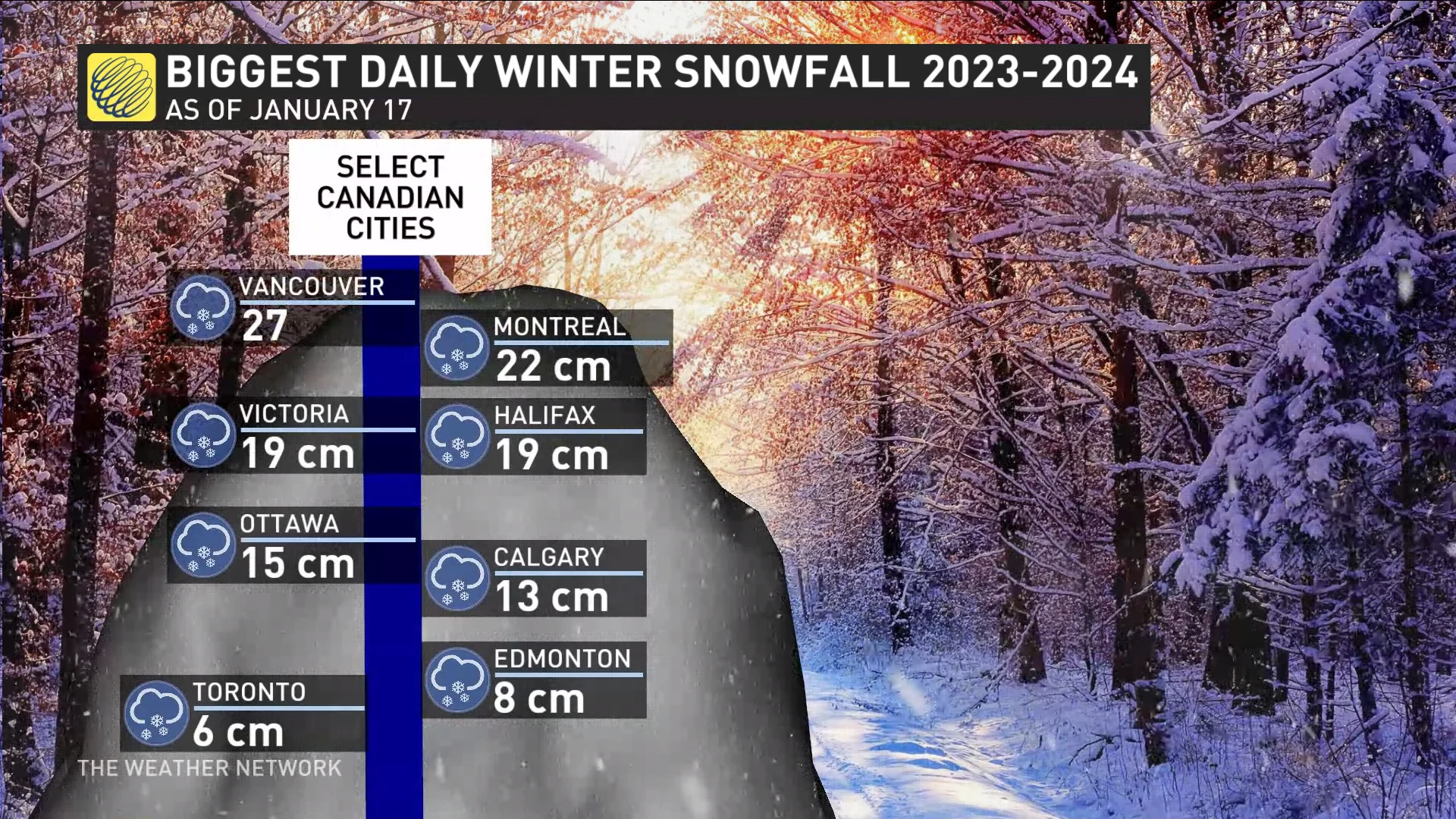
This renewed risk for wintry precipitation is unwelcome news after a historic thump of snow left 25+ cm of accumulation across the Lower Mainland on Wednesday. Surprisingly, Vancouver has now seen a heavier snowfall than many major Canadian cities for the 2023/2024 winter so far.
DRIVERS BEWARE: Check current road conditions if you have to travel
Plan ahead for delays or changes if you have to travel in the foul conditions on Friday. Prepare for potential flooding issues in areas expecting rain by clearing snow away from storm drains and building foundations.
Another round of wintry weather hits through Friday
Another low-pressure system churning toward the coast will run into lingering cold air hanging tight across the South Coast, allowing for a period of snow at higher elevations and freezing rain for lower-lying communities. Milder Pacific air will eventually win out and force a transition over to plain old rain.

Metro Vancouver stands a chance to see freezing drizzle to start the storm, but warmer air filtering in will quickly force a transition over to a cold rain that’ll persist into Friday.
Colder air will hang on for longer out toward Abbotsford and into the eastern Fraser Valley, bringing the risk for persistent freezing rain through the overnight hours Thursday into early Friday.
RELATED: Extreme cold still happens in a warming world, here's why and how

Subfreezing temperatures could hold on until Friday afternoon in the eastern Fraser Valley, leading to a prolonged freezing rain event that could result in 5-10 mm of ice accretion. A crust of ice that thick could cause power outages and tree damage on top of the slippery conditions.
A risk for flooding will accompany up to 30 mm of rain across the region. Storm drains that remain clogged by the mounds of snow that fell earlier in the week could lead to localized flooding issues.
An active and unsettled pattern will continue into the weekend and through most of next week. Mild Pacific air will take over through the end of January, with snow levels rising to 1000-1500+ metres, resulting in snow and rain for South Coast ski areas.
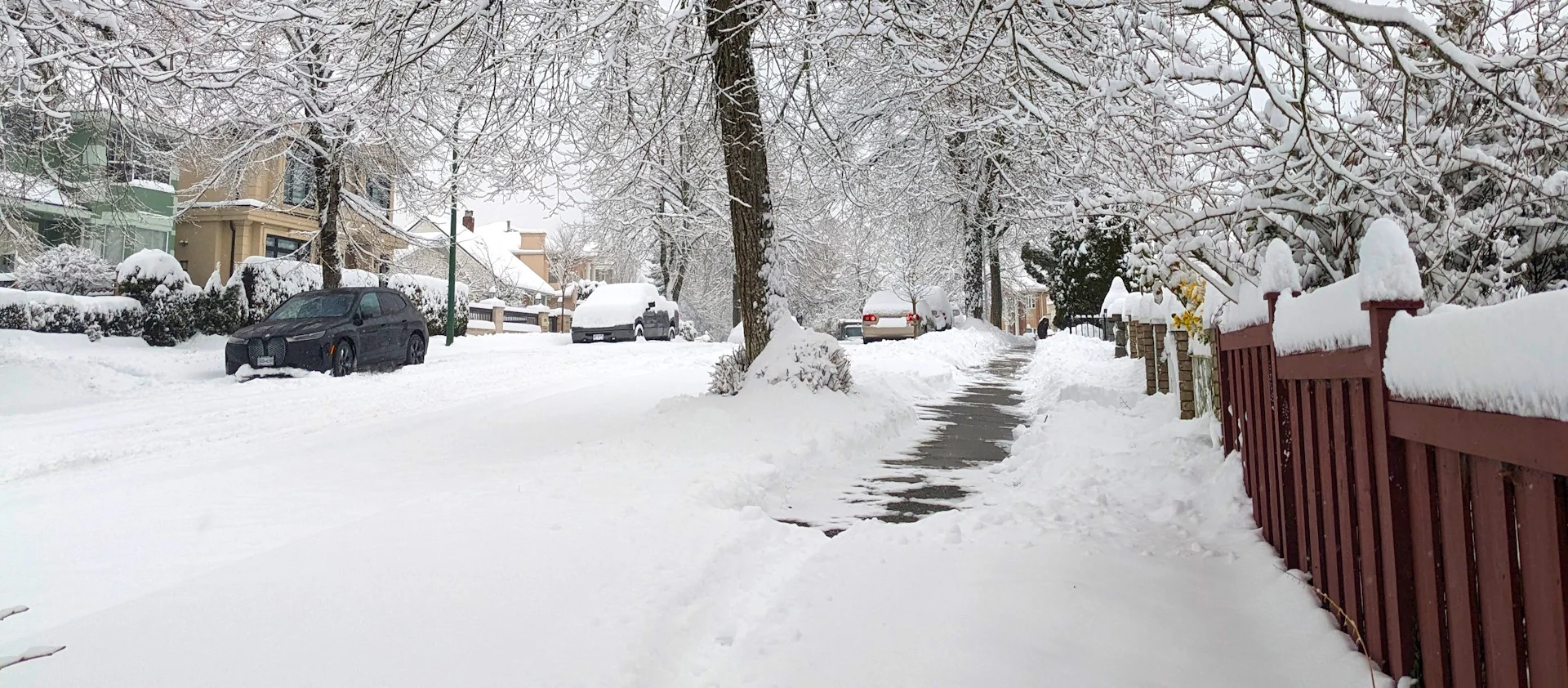
Header image courtesy of Kitty Yip in Vancouver, B.C.
Stay with The Weather Network for more updates and information on your forecast in B.C.