Multi-day ice storm and snow threat to hit Newfoundland starting on Tuesday
Eastern Newfoundland is in for a prolonged mix of freezing rain, ice pellets and snow starting Tuesday
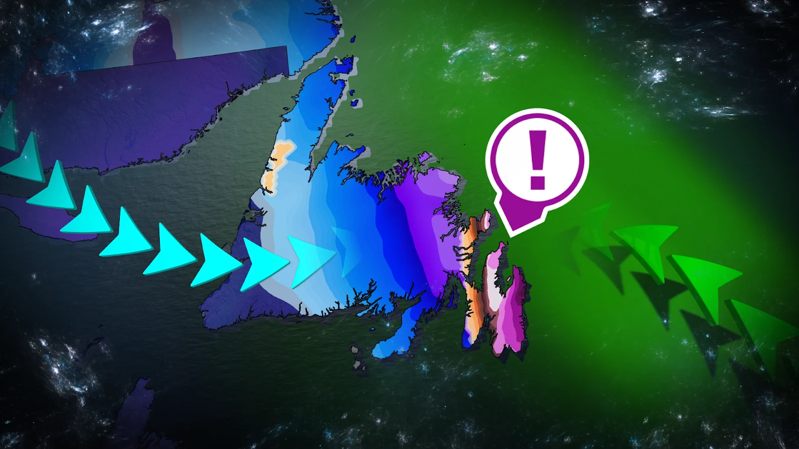
A slow-moving storm is anticipated to bring a prolonged mix of freezing rain, ice pellets and snow to eastern Newfoundland starting Tuesday evening and lasting through Thursday.
The system forms when cold Arctic air collides with incoming moisture, creating an active pattern over the Avalon and Bonavista peninsulas. With the storm track nearly stationary, precipitation is expected to last for days rather than passing quickly.
CHECK OUT: How the weather could be influencing your music taste
Ice storm conditions develop Tuesday night
Tuesday evening, freezing rain moves into the Avalon east coast, followed by ice pellets farther west toward Conception Bay. St. John's is in the transition zone, kicking off with freezing rain and progressing to ice pellets by Wednesday.
Conditions worsen through Wednesday as ice accumulates on surfaces. Even light winds can cause accretion on roads and power lines, increasing outages and travel hazards. Total freezing rain could be 10-20+ mm, with ice pellets ranging from 2 to 5 cm.

Recent model updates indicate that there may be a brief break in icy precipitation on Wednesday night. However, the storm track continues to be unstable and shifting, meaning the timing and intensity may vary.
Snow spreads inland through Thursday
LOOK: Fostering community spirit in the Yukon
Snow falls overnight Tuesday over Placentia Bay, Clarenville and Bonavista, then moves toward Gander by Wednesday morning. Snow accumulation will continue on and off through Thursday.
Totals may range from 10 to 30 cm, with higher amounts along the northern coast. As the system persists, traffic conditions on Highway 1 and local routes are expected to worsen.

Stay with The Weather Network for the latest updates across Newfoundland