Friday snow to add to Montreal’s snowiest February in 54 years
Rounds of snow push into southern Quebec to end off one of the snowiest February's in more than 50 years
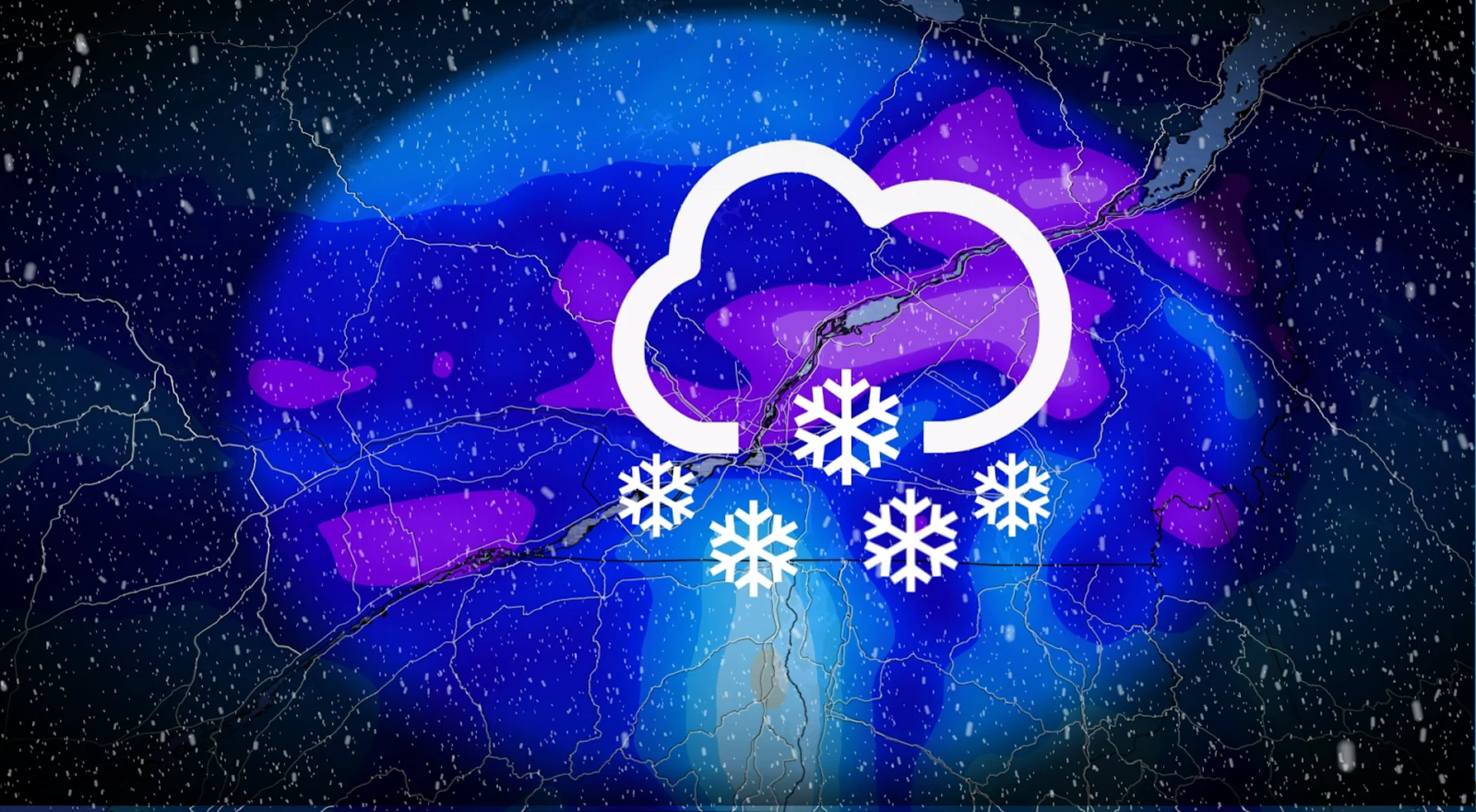
We’re on the lookout for travel disruptions across southern Quebec as yet another round of snow looms for the region heading into Friday.
Prepare for slow travel as heavy snow clogs roadways and reduces visibility through the second half of Friday.
Additional snow is especially unwelcome as Montreal is currently experiencing its snowiest February in more than 50 years.
DON'T MISS: Montreal's historic snowfall nearly ties this 127-year record
Stay up-to-date on your local weather alerts, and be sure to check the latest highway conditions before heading out on the roads.
Friday and Saturday: Temperatures fall and heavier snow moves through
A round of snow on Thursday was an appetizer to a heavier batch of precipitation expected to move into the region on Friday.

Colder temperatures will make for a light, fluffy snow the next system arrives late Friday night.
Heavy snowfall with rates approaching 2 cm per hour will spread across Metro Montreal overnight Friday into Saturday morning. The snow will continue pushing east through Saturday morning.
The enhanced snowfall rates, combined with wind gusts of 30-40+ km/h, will lead to reduced visibility and periods of blowing snow.

While there is still some uncertainty with the exact track and overall snow totals, between 10-15 cm is possible by the time it winds down later Saturday.
SEE ALSO: Canada stacked like a board game as series of lows makes wintry moves
For Montreal in particular, this has been the snowiest February in more than 50 years. On average, about 47 cm of snow typically falls during the month, but this year, an even 100 cm had already been recorded by Feb. 27.

Stay with The Weather Network for all the latest on conditions across Quebec.