More rain inbound for B.C. before heat takes over this week
A new system crossing the South Coast will bring another round of heavy rain to the area, but B.C. will dry out by late week with a ridge of high pressure moving in
A period of wet weather continues for the South Coast of B.C. through Tuesday, but the region will turn much drier later this week, along with considerably warmer temperatures, and persist through next week.
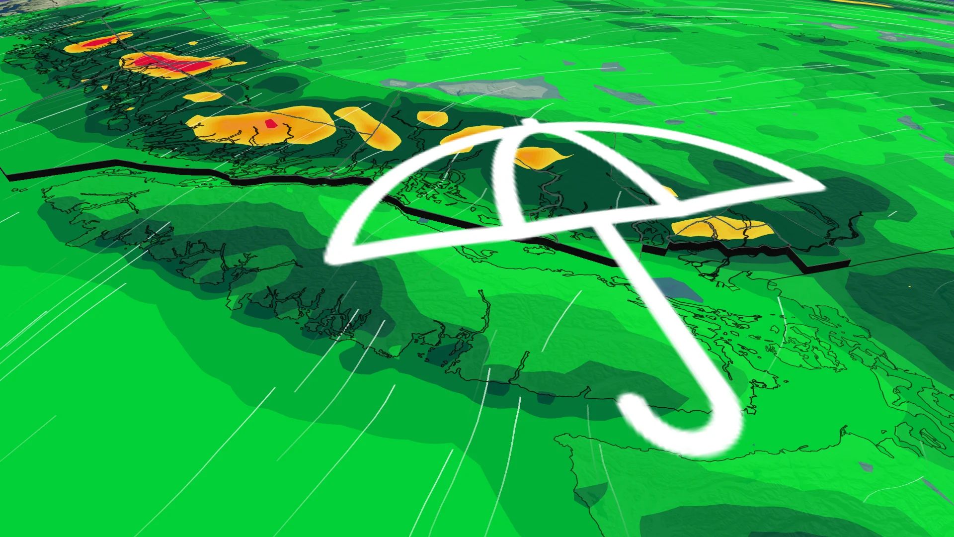
The next system isn't going to be as soggy as the previous low that pushed through, with additional totals of 10-30 mm for most of the Lower Mainland and heavier amounts across higher terrain including North Vancouver.
DON'T MISS: Canada to benefit from major U.S. funding for weather, tsunami alerts
Residents can take comfort in an abrupt turnaround in conditions this week as rain gives way to the warmest temperatures so far this season.
The fire risk will begin to increase as a result of the drier, hotter conditions, but most of the region will have been wet recently, and at this point, the heat is not expected to become extreme or excessive. Temperatures should trend back closer to seasonal by Father’s Day.
Rain through Tuesday
A large, low-pressure system over the Gulf of Alaska has been forcing several disturbances to pinwheel into the West Coast.
Another round of widespread rain will fall Monday overnight through Tuesday, breaking up late in the day.

Additionally, 10-30 mm of rain will fall for most of the Lower Mainland, with heavier amounts across higher terrain including North Vancouver.
CANADA'S WILDFIRES: Visit The Weather Network's wildfire hub to keep up with the latest on the active start to wildfire season across Canada.
The east side of Vancouver Island will see much less rain, so lower than 10 mm for Comox, Nanaimo and Campbell River. The Interior will be hit or miss, with some areas receiving little rain and others seeing upwards of 10 mm.
A rainfall warning is in effect for Howe Sound. Heavy downpours can cause flash floods and water pooling on roads. Localized flooding in low-lying areas is possible.

Average rainfall totals for the month hover around 50 mm for Vancouver, with about 70 mm in an average June for Abbotsford and only 29 mm in the rain shadow over Victoria.
Agriculture and Agri-Food Canada reports that the South Coast has seen 50-70 mm of rain over the past week.

Raw and rainy weather is unpleasant at first, but it’s early June and we’re in wildfire season. Additional steady rainfall on the way is great news to alleviate dryness and improve wildfire conditions.
This unusual pattern is going to flip in a hurry and tilt conditions toward the hottest readings of the season.
After the rain is done, a sharp ridge building over the western shores of North America will send daytime high temperatures soaring by late week.

Temperatures will start to increase late week, peaking into the high-20s for coastal sections and into the low 30s for inland and Interior sections. These conditions will persist for several days
Vegetation will start to dry up, and the fire danger rating could start to increase.
Stay with The Weather Network for all the latest on conditions across B.C.