More rain coming to Ontario ahead of a warming May long weekend
Showers and thunderstorms, with potential heavy rainfall, are expected Tuesday night into Wednesday. The long weekend forecast shows a warming trend, with temperatures nearing seasonal norms and possibly reaching the mid-20s
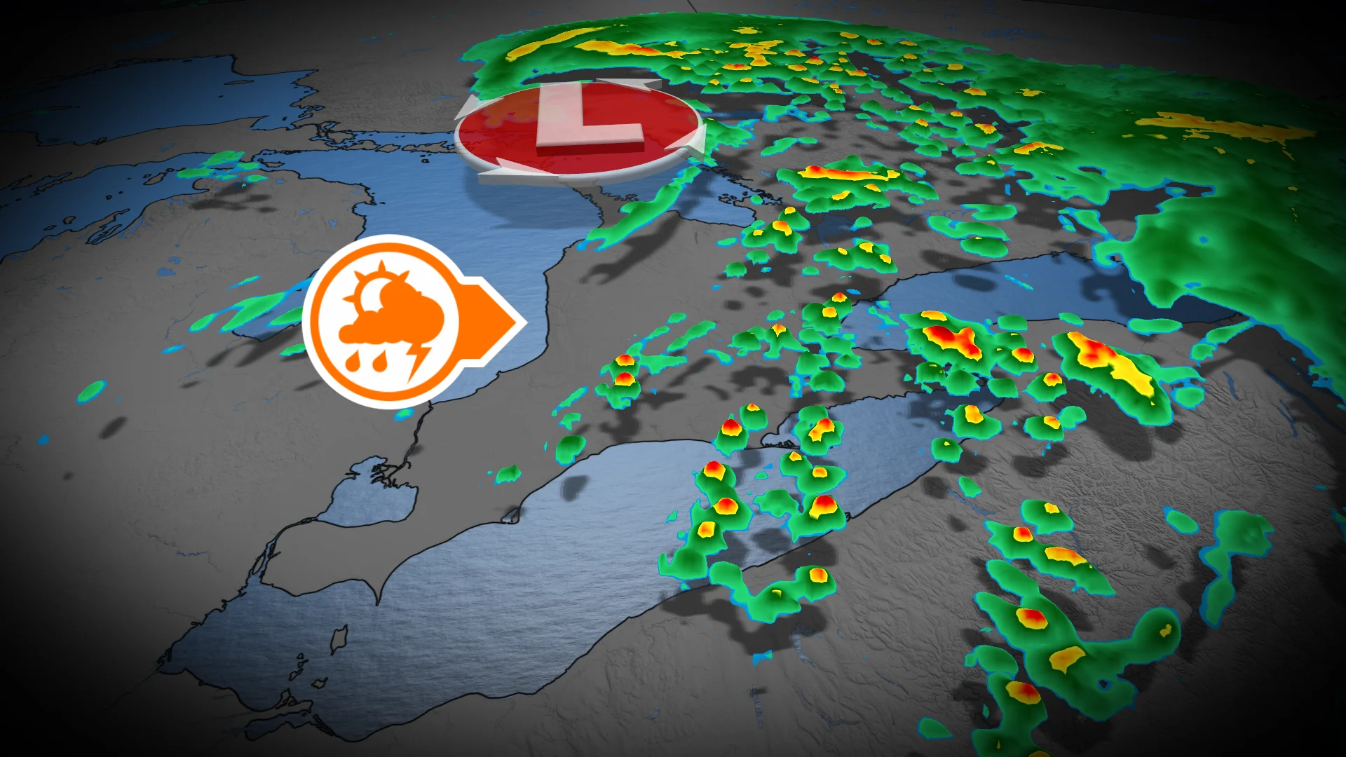
After a frosty start to the week in Ontario, a low pressure system advancing from the Prairies will deliver rainfall across the region, impacting various areas from Tuesday through Wednesday.
DON'T MISS: Canada's May long weekend hopes hang on looming pattern change
Rain is forecast to begin in northwestern Ontario Tuesday morning. By the afternoon, areas along Lake Superior, including Sault Ste. Marie, will experience showers. Rain will reach southern Ontario by evening, intensifying overnight.

Southern Ontario is likely to face heavy rain with isolated, non-severe thunderstorms overnight into early Wednesday.
SEE ALSO: 130 years later, this Muskoka resort still knows how summer should feel
Meanwhile, widespread rainfall will shift into eastern Ontario by Wednesday morning, tapering off to scattered wraparound showers during the day in southern areas.

A stronger thunderstorm may develop near the Kingston region Wednesday evening.
Southern Ontario could see isolated, brief showers on Thursday, though these remain spotty.

Temperatures warm significantly for the May long weekend ahead
By Friday, temperatures will rise into the high teens, with a mix of sun and cloud, setting the stage for the May long weekend. Southwestern Ontario may experience highs near 20°C on Saturday, alongside a slight chance of passing showers.

Sunday features near-normal temperatures.
RELATED: Potholes and sinkholes: Uncovering the hidden dangers beneath our roads
Next week, Ontario will see variable temperatures that align more closely with seasonal norms for mid-to-late May. These shifting temperatures will also bring the possibility of a few rounds of rain and thunderstorms.