More heavy snow hits southern B.C. with risk of dangerous travel, closures
A winter storm watch was issued for east Vancouver Island, with the potential for heavy snow to continue into Tuesday, bringing the risk for difficult travel
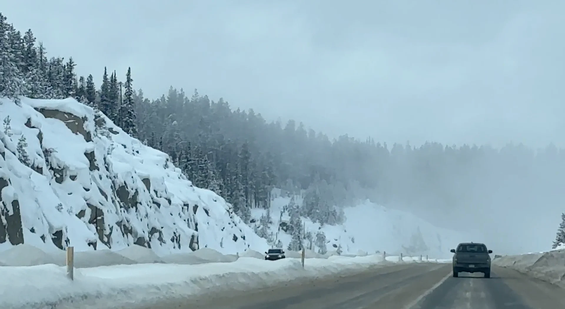
A multi-day snowfall event for the B.C. coast is underway, and snow has already piled up in a hurry across the region. Some communities saw more than 20 cm of snow by Sunday afternoon, with snow warnings continuing for parts of the region Monday, as Arctic air stays locked.
Be prepared for difficult travel to continue as the snow sticks around. Sudden changes in road conditions and visibility are expected throughout the Lower Mainland and parts of Vancouver Island.
DON’T MISS: Live updates: Groundhog Day results, see them here!
Stay aware of weather alerts in your area and keep up with the latest highway conditions before heading out.
Monday and Tuesday
A low-pressure system will help press Arctic air toward the coast through Monday. Bands of heavy snow will continue rotating across the South Coast, bringing the chance for snow across the Lower Mainland.

"Rapidly accumulating snow could make travel difficult over some locations," says Environment and Climate Change Canada (ECCC) in the snowfall warning.
Converging winds along the North Shore and regions south of the North Shore Mountains will increase snowfall rates. Some areas here may see up to 20 cm of accumulation during periods of heavy snowfall.

Periods of snow will continue across the Lower Mainland into the first half of Monday before tapering off by the afternoon hours. However, snow will ramp up for parts of Vancouver Island.
Heading into Monday night and early Tuesday, we’ll see strait-effect snow continue for eastern Vancouver Island. Heavy snowfall is expected around Tofino and Ucluelet as winds converge over the area. We’ll see lingering snow for the Gulf Islands and southern Vancouver Island.

Heavy snow bands will also target the Gulf Islands and southern Vancouver Island, extending from the Saanich Peninsula to the Comox Valley.
This will be a highly impactful snow event throughout the region, with road closures, school cancellations and significant travel disruptions expected on Monday and Tuesday.
WATCH: Snowy scenes in B.C.'s lower elevations amid winter storm
Arctic air hangs on
The Arctic chill will continue beyond the end of the snowfall. Once the snowfall subsides on Tuesday on Vancouver Island, daytime highs will dive to well below-seasonal values. The added snowpack on the ground will add an extra chill with clearing skies.
The pattern will be good news for the province's ski resorts. It will help replenish the ski hills with some fresh, new snow and finally bring winter to coastal sections, which have been missing it so far this season.
Stay with The Weather Network for all the latest on your forecast across British Columbia.