Mid-May snow, rain in store for B.C. as pattern changes
Troughs over the Pacific will push into B.C. through the long weekend, keeping conditions cooler than normal, unsettled and also bringing the chance for snow
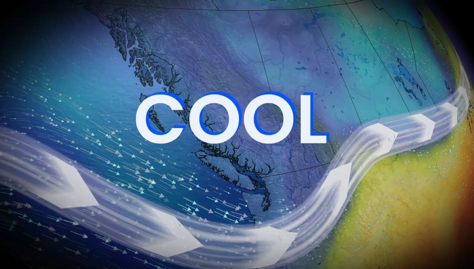
B.C.'s weather is taking a turn with a pattern change that is introducing cooler temperatures, rainfall and even the risk of snow for the mountain peaks by the weekend
It has been an exceptional dry streak across southern British Columbia over the past several weeks, with expanding drought conditions and higher fire danger risks. But a change is happening.
RELATED: Campfire ban to be rescinded across B.C.'s South Coast ahead of long weekend
The good news is that an extended stretch of noticeably cooler weather has arrived, along with some rain and a thunderstorm risk. Not only that, alpine snow is expected for some of the mountain passes.
Rain, storm risk and cooler weather in store for B.C.
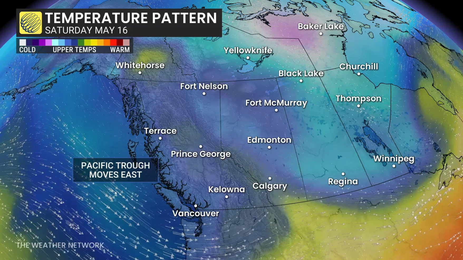
The persistent ridge that delivered above-seasonal, summer-like temperatures has broken down. In its place are several, upper-level troughs from the Pacific swinging into B.C., bringing below-seasonal temperatures, periods of unsettled weather, and the chance for showers, thunderstorms and high-elevation snow.
RELATED: Lawn-watering ban starts May 1 in Metro Vancouver, lasts through summer
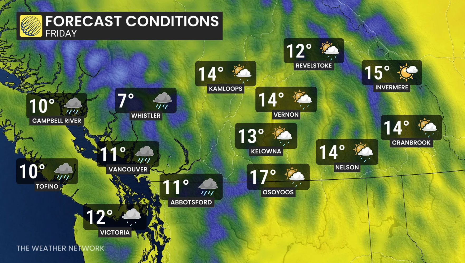
Temperatures are forecast to remain below seasonal through the end of the week and throughout the long weekend. By Friday, temperatures could be five to 10 degrees below seasonal.
A high of 11 C is expected on Friday for Vancouver, and if it occurs, it would be the coolest, daytime high for the city since mid-April. Vancouver’s seasonal is 18 C right now.
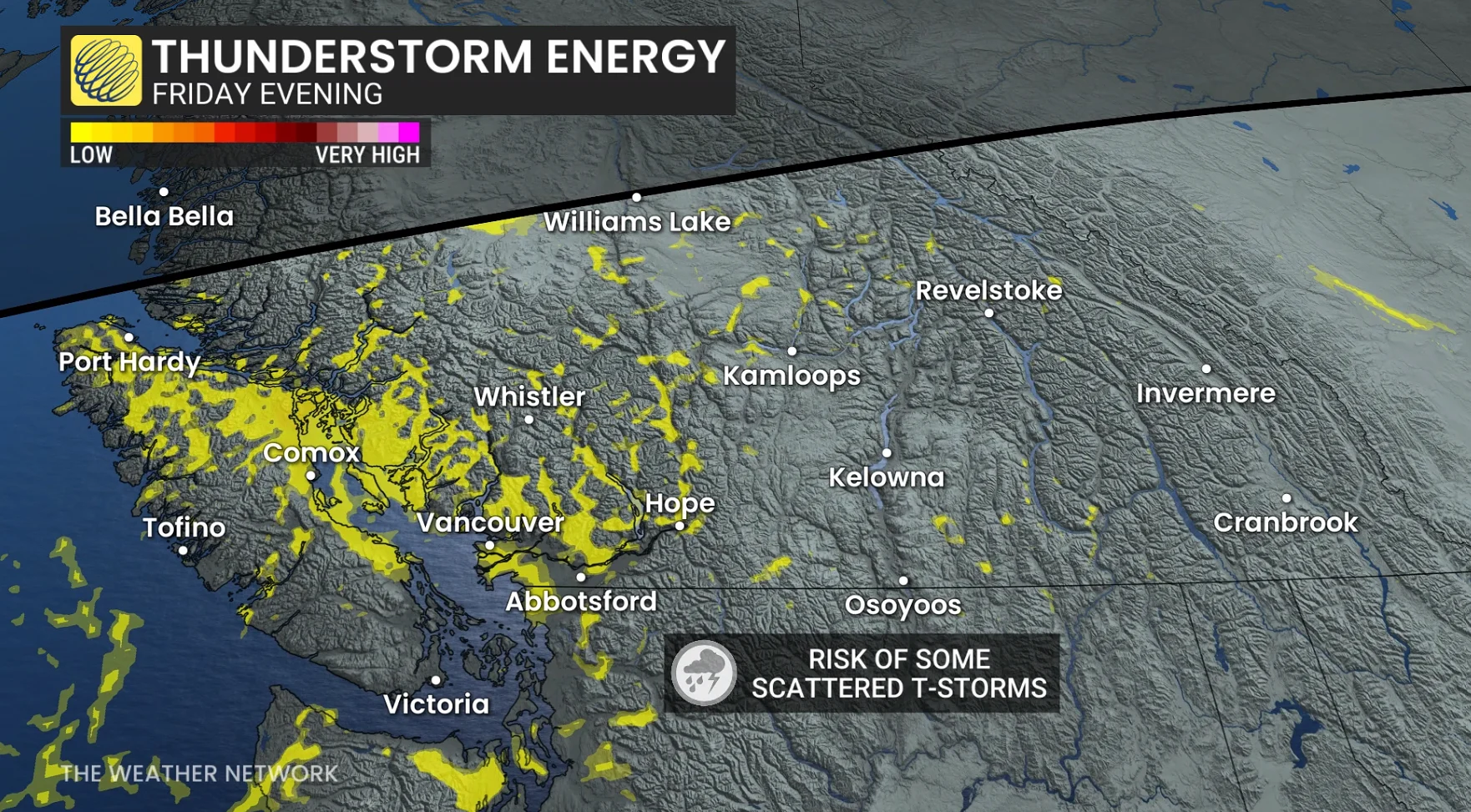
With several, mid-level troughs forecast to track across the province to provide atmospheric instability, low CAPE values. cooler temperatures aloft and onshore flow, those may be enough to trigger scattered thunderstorms for the next several days across parts of the province, specifically near Vancouver Island, the South Coast, and central and southern Interior sections.
Long-weekend snow for the mountain ranges
Freezing levels are forecast to hover around 1100 to 1200 metres for the end of the week, before a change to then sit between 1200-1600 metres through the long weekend.
An incoming system from Friday to Saturday will bring more substantial moisture into the province, likely to bring some accumulating snow to mountain peaks. Some of the passes will see a wintry mix, while straight snow is forecast for the coastal mountain range on and off into the long weekend.
Scattered showers will continue for the Interior and alpine regions during Sunday and Monday, but the South Coast region should be mostly dry.
A warmer and drier pattern is expected to return for late May and especially early June.
WATCH: Piste, Pedal, Paddle: Whistler's unique 'triathlon' closing soon
Stay with The Weather Network for all the latest on conditions across British Columbia.