First widespread risk of snow on the way for parts of southern Ontario
A messy Colorado low could bring the first widespread snowfall to southern Ontario on Sunday, opening up a multi-day snow squall event
Southern Ontario has been getting its first feel of winter weather this past week as temperatures took a nose-dive towards freezing levels. Those living in the snowbelt region have been feeling the impact of lake-effect snow squalls throughout the week.
Folks around the Greater Toronto Area (GTA) and the rest of the Golden Horseshoe saw some sporadic flurries on Friday -- a hint of what's to come later in the weekend.
DON'T MISS: Coldest air of the season envelopes all of Eastern Canada next week
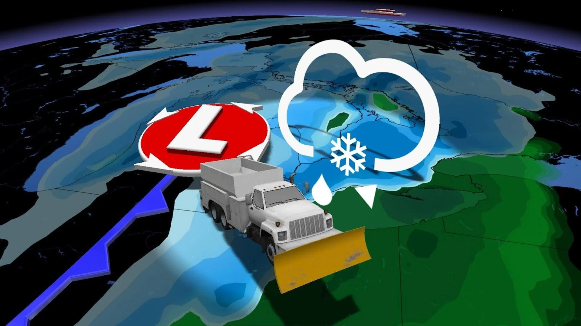
SUNDAY
Wet snowfall inches closer and closer to the GTA this weekend, as well as a multi-day lake-effect snow event on the horizon.
While this won't be a blockbuster snow event for southern Ontario, Torontonians excited for their first snow will have a chance to see some this Sunday and beyond.

A messy system will bring a period of wet snowfall north of the 401 and likely rain to the Golden Horseshoe by Sunday afternoon. However, rainfall will all come down to a half-degree difference, with models pulling back on the extent of the cold air, further lowering the chance of the first snow for most in Hamilton and Toronto.
Ottawa will have some light snow accumulations as the system moves east through the evening too, but again, not very impactful. The big snowfall totals are likely to be, once again, in Ontario’s snowbelt regions immediately following this event.
SEE ALSO: What does a snowy fall mean for winter?
NEXT WEEK
This system will open the doors for a lobe of the incoming polar vortex to descend over Hudson Bay. This air will be the coldest so far this season and will fire up some lake-effect snowfall once again.

A multi-day snow event is forecast to meander off of Lake Huron and Georgian Bay, impacting the snow belts Monday, Tuesday, and maybe even into Wednesday.
The narrow bands of snow will keep the heaviest accumulations highly localized but travel impacts and road closures could be more widespread. With bitter, cold air and persistent northwesterly winds in the forecast, northern regions of the GTA could be impacted by these squalls as well.

*Check back with us at The Weather Network as we nail down your wintery forecast in southern Ontario. *