Formidable storm threatens big snowfall totals on the Prairies
A large and powerful storm will bring hefty snowfall totals to parts of the Prairies this week. Expect power and travel disruptions
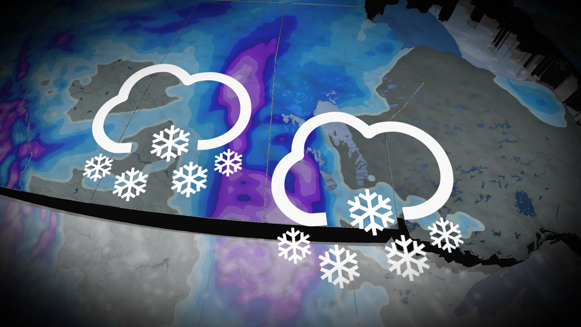
This will be a challenging travel week across the Prairies as heavy snow and winter driving takes aim at the region. Snowfall warnings were issued for southern Alberta early Monday, with as much as 10 cm likely impacting commute times and slowing traffic throughout the day.
Dangerous blizzard-like conditions are possible Tuesday as a formidable Texas low roars onto the eastern Prairies. Saturday’s snow was just a taste of what’s on the way this week.
Some areas are in line to see more than 20 cm of snowfall, with considerable travel disruptions possible for the hardest-hit regions. Be mindful before heading out on the roads, and adjust your travel plans accordingly as blowing snow is likely.
DON’T MISS: Why the first snowfall of the season can catch drivers by surprise
In addition to travel issues, power outages are possible as gusty winds and heavy, wet snow add stress to trees and power lines.
Monday: Snowfall warnings line Alberta, Calgary included
Ahead of the dangerous blizzard conditions for the eastern Prairies Tuesday, periods of heavy snow could have a significant impact to travel across parts of southern Alberta through the day on Monday.
A snowfall warning was issued during the pre-dawn hours, and includes the city of Calgary.
"Be prepared to adjust your driving with changing road conditions," says Environment and Climate Change Canada (ECCC) in the warning. "Prepare for quickly changing and deteriorating travel conditions."
As much as 10 cm of snow is possible before easing later in the day.
Tuesday: Heavy snow and winds fill in across Saskatchewan and Manitoba
Periods of snow will develop across eastern Saskatchewan and fill in across southwestern Manitoba through early Tuesday, with sustained winds pushing more than 40 km/h out of the northwest. This will lead to reduced visibility and blowing snow concerns.

The rain-snow line will slide east through the afternoon, pushing as far east as Sandy Bay First Nation and Winkler, Man., by Tuesday evening.
MUST SEE: Will winter redeem its reputation? A sneak peek at winter 2024-25
We’ll continue to monitor the possibility of blizzard-like conditions with sustained winds at 40 km/h and visibility reduced to 400 metres or less.

Winnipeg is forecast to stay on the mild side of the system, however, with the low potentially bringing more than 30 mm of rainfall to the city.
"This is a rather unusual storm track due the atmospheric gridlock over the North Atlantic," said Dr. Doug Gillham, a meteorologist at The Weather Network.

Road closures are possible as visibility could be reduced to below 400 metres. Heavy, wet snow can cause additional issues on the power grid.
Beyond, a more wintry pattern is expected for the final week of November.
Stay with The Weather Network for all the latest on conditions across the Prairies.