Maritimes brace for heat, humidity and scattered thunderstorms
Heat and moisture move into the Maritimes, causing scattered thunderstorms, before cooler air returns Thursday.
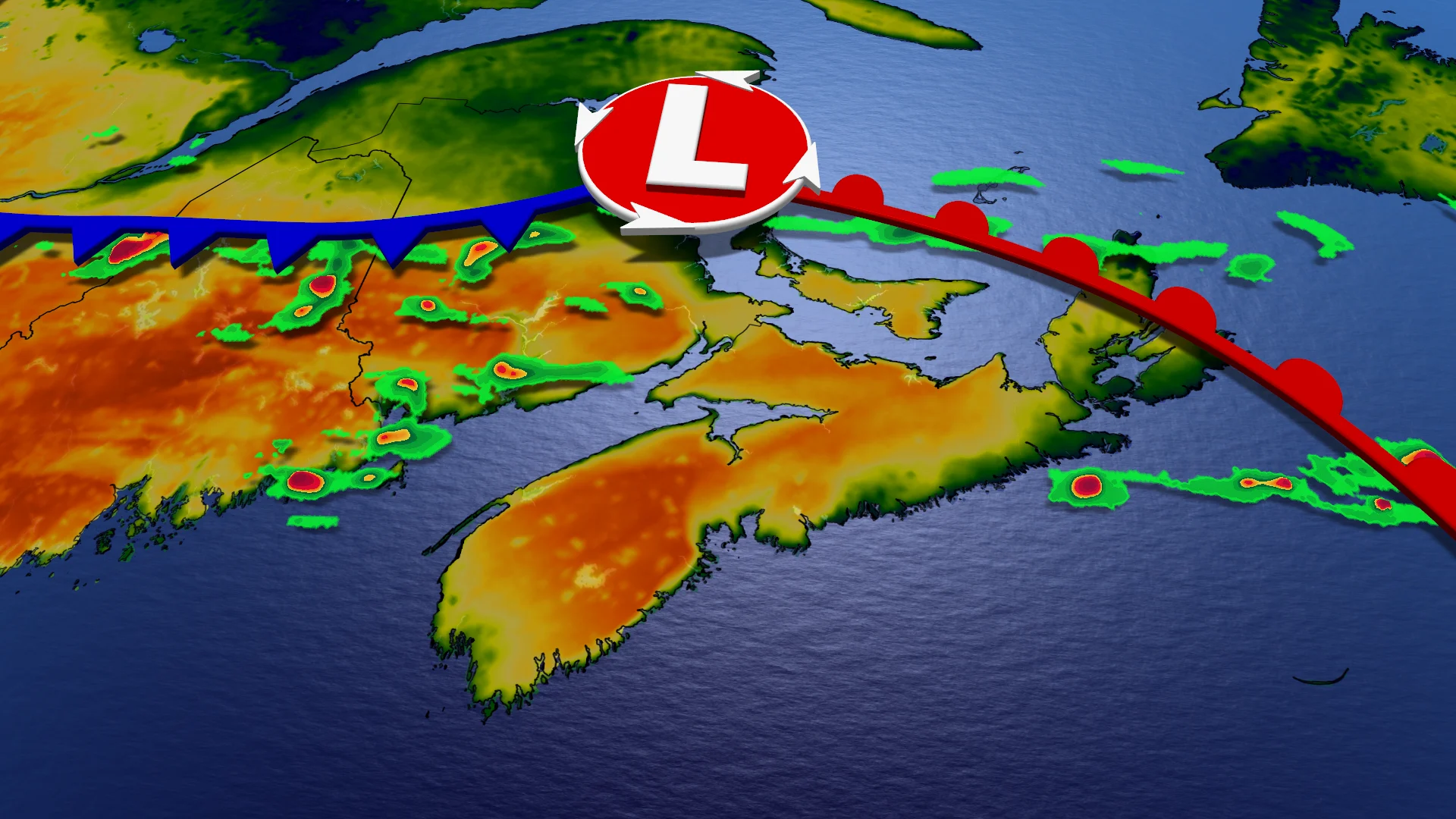
Warm, humid air settled over the Maritimes as a moisture surge moves in from the Gulf, raising humidity and triggering scattered showers and thunderstorms.
Humidex levels are expected to rise into the high 20s to low 30s in New Brunswick, with eastern inland Nova Scotia also experiencing sticky, summer-like conditions.
DON'T MISS: How lake breezes shape your weather
Heat peaks Wednesday before cooldown
Wednesday is forecast to be the warmest and most widespread day of the stretch, with temperatures reaching the 30s in parts of New Brunswick. Halifax and the surrounding areas could see humidex values near 30, resulting in another muggy day even without any shower activity.
As lingering moisture interacts with daytime heating, a second round of mostly non-severe thunderstorms could form late Wednesday into the early evening, particularly near the Bay of Fundy.
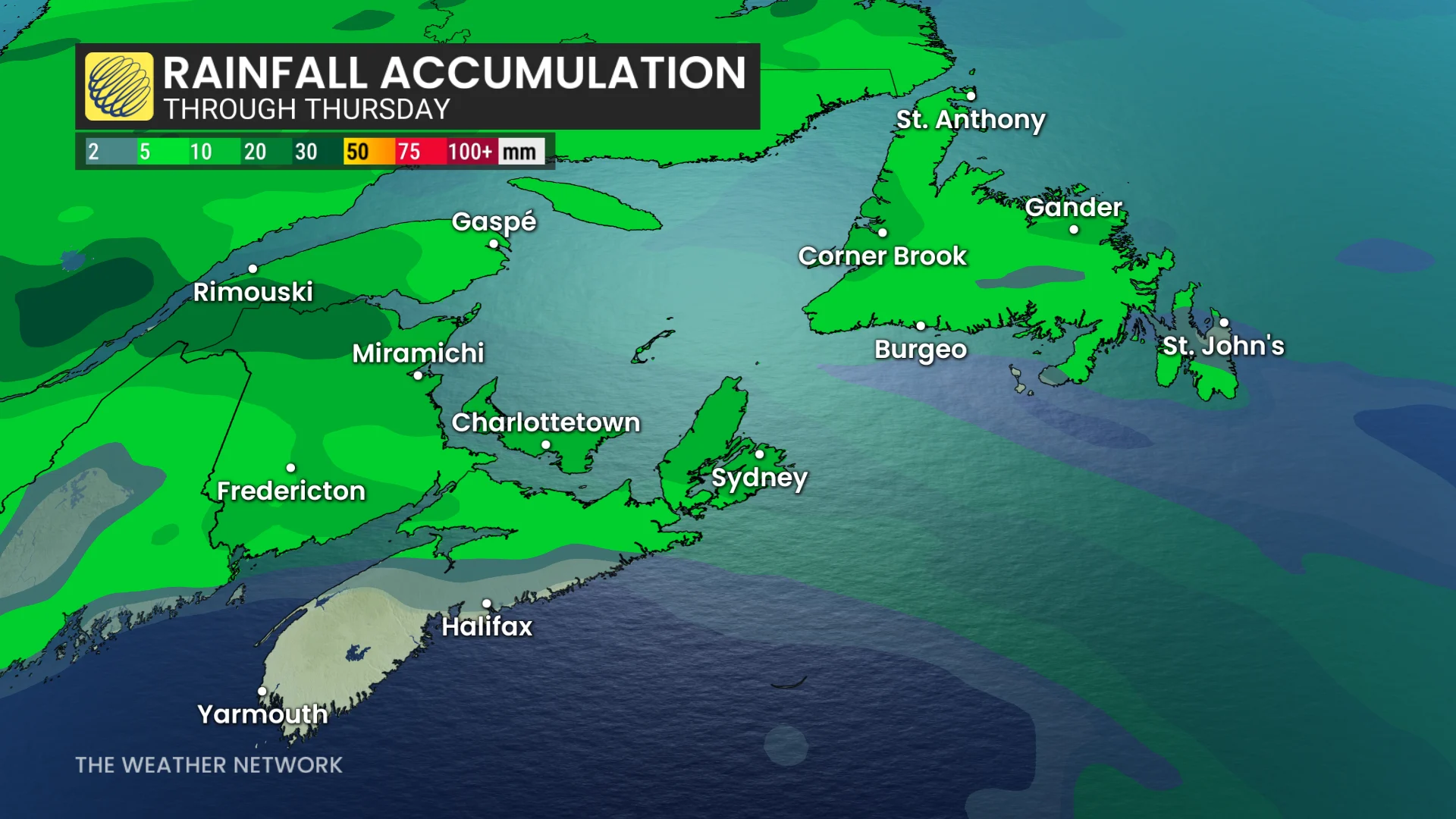
By Thursday, a cooler air mass is projected to return to the region, lowering temperatures back to seasonal norms in the teens and providing a noticeable break from humidity.
Stay with The Weather Network for the latest across Atlantic Canada