Major winter storm to be highly disruptive across Ontario

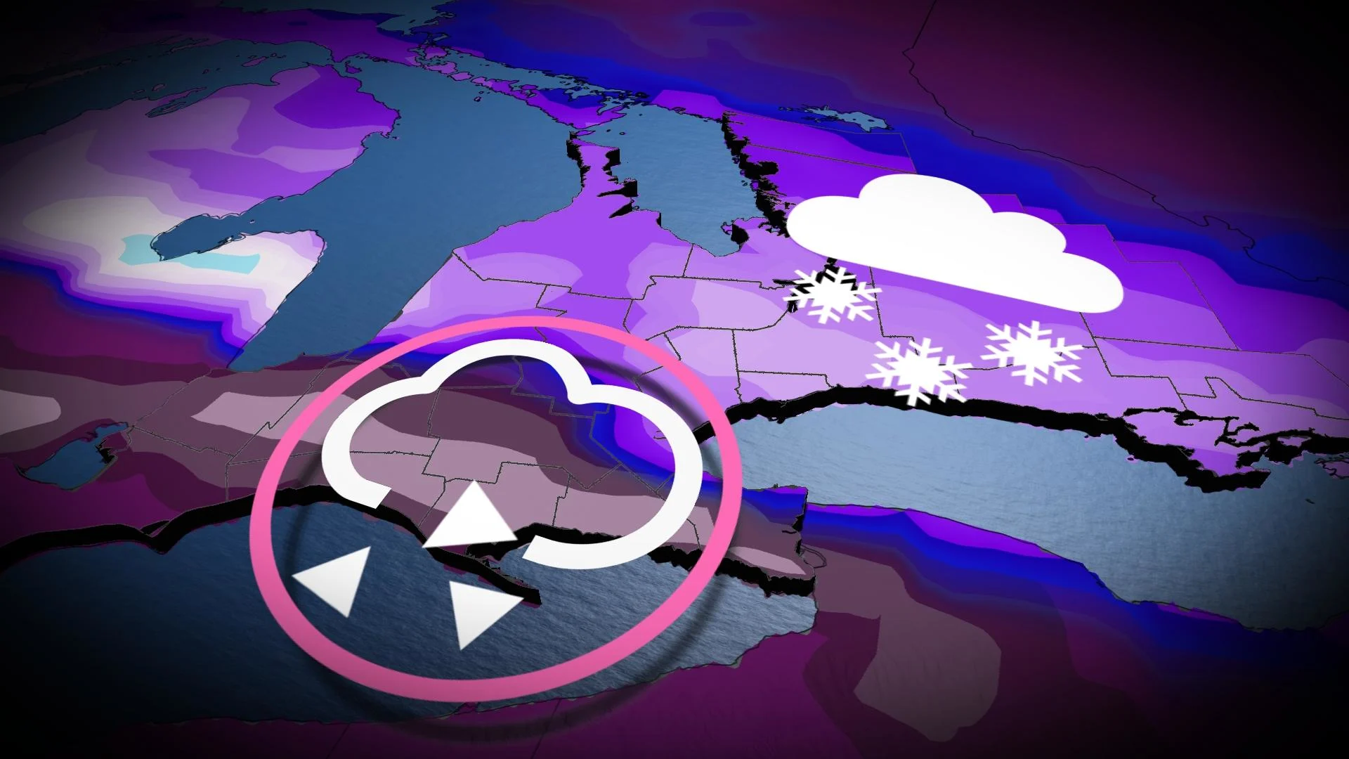
Parts of Ontario are expected to see a dangerous, wintry mix of ice, freezing rain, and snow starting on Wednesday.
This past weekend it became apparent that the pattern was ripe for an ice storm; unfortunately, that is coming to fruition. The total amount of precipitation is greatly enhanced from the Gulf of Mexico, so this will likely become a memorable winter storm for many.
Ice storm

It should be no surprise this is our number 1 impact with this dangerous Colorado low, and a couple of factors make a significant ice storm likely. The total hours of freezing rain are extensive for many regions north of Lake Erie.
Moreover, a secondary wave of moisture brings additional freezing rain through Thursday, but it's the gusty northeast winds that will tip us over the edge in terms of long-duration power outages.
Ice pellets
Impacts include less snow to shovel for regions between heavy freezing rain and heavy snow. Ice pellets do not accumulate as readily as snowfall; they’ll still blow around and create slick surfaces, but much less dangerous than freezing rain. Don't be fooled, ice pellets are very heavy, which makes them more difficult to shovel.
There'll be a substantial amount of ice pellets wedged between the snow and freezing rain. Some areas across the Greater Toronto Area (GTA) might see upwards of 10 hours of ice pellets as the dominant precipitation type.

READ MORE: Ice & Snow: How to master the art of winter driving
It’s a tall order to forecast this wintry cocktail with precision for regions in this transition zone, so precipitation type will tend to fluctuate across the GTA with this event.
Snow
The system will also initially start as heavy snowfall for most across southern Ontario before the warm air aloft has enough time to push in from the south, transitioning the precipitation to a wintry mix. This will create some serious commute troubles by Wednesday evening.
This is probably the most normal aspect of this storm, but farther north, these snowfall amounts will still become problematic. From the shores of Lake Huron and cottage county extending across eastern Ontario, there’s a higher probability to see over 20 cm of snowfall through Thursday.
Amounts start to fall off the closer to Quebec you travel, but even the Ottawa region is looking at in excess of 15 cm of snowfall with this low.

Timing

SEE ALSO: Here's how to stay safe during a winter power outage
The Colorado low will slide across the region beginning early Wednesday, starting with light snowfall for many.
Southern Ontario will see the peak of the system later on Wednesday and overnight into Thursday. Winds drastically increase out of the northeast, with freezing rain intensifying north of Lake Erie. This combination will guarantee power outages for some, perhaps becoming long-duration in nature.
Thursday will see a lull in the precipitation in the forecast as the first area of low pressure departs towards the east, but another system threatens to bring another coating of freezing rain and mixed precipitation across southern Ontario, causing additional impacts throughout the day.
The system is expected to die down Thursday night and depart the region on Friday.
Stay tuned to The Weather Network for more forecast updates for Ontario.