As much as 40 cm could fall as winter storm wallops northern Ontario
A significant winter storm is blasting parts of northern Ontario, possibly bringing up to 40 cm of snow, blowing snow and near-zero visibility through Thursday. With road closures already announced, additional and significant impacts on major highways are likely before the storm eases
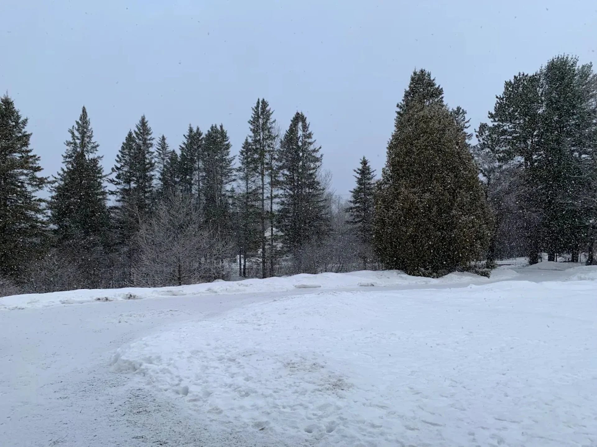
A disruptive winter storm bringing heavy snow and blustery winds to a large swath of northern Ontario will continue through Thursday.
With some areas already reporting 15 cm of snow, road closures have resulted in major routes across the region. Travel will continue to be hazardous through Thursday, and additional road closures, along with power outages, are possible.
DON'T MISS: New colour-coded Canadian weather alerts have now launched. Here's what they mean if you see them
"Avoid non-essential travel and outdoor activities. Prepare for disruptions to transportation, services and utilities," says Environment and Climate Change Canada (ECCC) in a winter storm warning for northern Ontario.
Heavy snow continues over northern Ontario through Thursday
Winter storm conditions are well underway across northern Ontario.

Heavy snow and blustery winds will continue through Thursday they ease in the overnight hours into Friday morning.
SEE ALSO: Why it's never a good idea to pass snow plows
Areas within the highest-risk corridor, including Thunder Bay, Geraldton, Marathon, and Moosonee, could see snowfall accumulations of 20-40 cm. As of Wednesday afternoon, over 15 cm of snow was reported in Chapleau.
DON'T MISS: Winter-proof your home with a heat pump that even works in -30°C

Blustery winds will continue to lead to poor visibility within the snowfall. Gusts of 40-60 km/h will continue through Thursday.
Heavy, persistent snowfall and blowing snow are likely to create hazardous travel conditions, particularly along Highway 11 and Highway 17, and the north shore of Lake Superior. Expect travel disruptions due to reduced visibility.
Visit our Complete Guide to Winter for an in-depth look at the Winter Forecast, tips to plan for it and much more!

An active weather pattern is set to persist into the first week of December, accompanied by colder-than-normal temperatures.
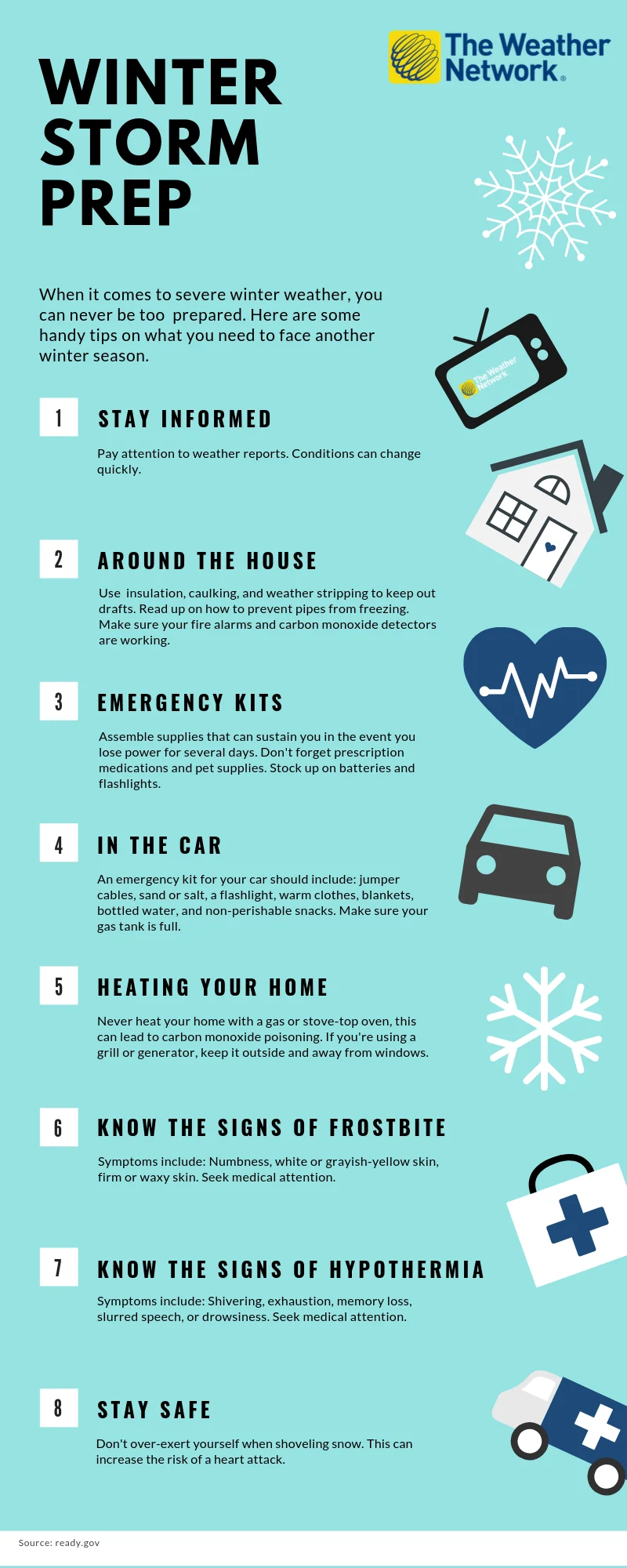
The time to prepare is now
When it comes to facing severe winter weather, you can never be too prepared. The infographic below has some handy tips on what you need to face another winter season.
Click here for a zoomable version of this graphic.
WATCH BELOW: Ontario's 2026 Winter Forecast: Get ready for a cold start to the season
Stay with The Weather Network for more information and updates on your weather across Ontario.