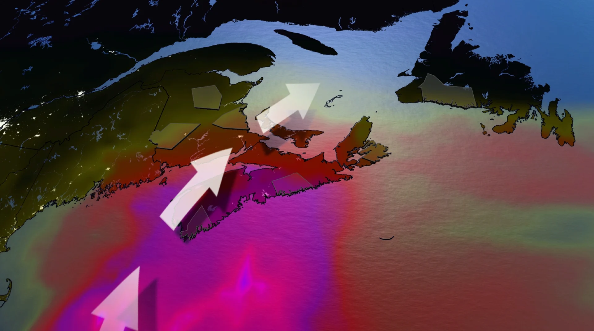
Localized flooding raised amid prolonged rainfall in Atlantic Canada

A slow-moving weather system is expected to bring a period of prolonged rainfall to Atlantic Canada, especially in Nova Scotia, for the first full weekend of November, increasing the risk of localized flooding
It’s been a dry start to November in Atlantic Canada, but a plume of subtropical moisture is quickly changing the narrative.
Multiple, developing, low-pressure systems are tracking into the region, bringing periods of widespread rain through the weekend and beyond. A potential for thunderstorms could enhance rainfall totals, increasing the threat of localized flooding.
DON'T MISS: Canada's Winter Sneak Peek: El Niño puts record warmth in play
Weekend rainfall of 50-80 mm is forecast in Atlantic Canada, with a storm maximum likely approaching 100 mm for a couple locations across the Maritimes.
Weekend: Soaking rains coming for Atlantic Canada
Moisture is streaming up from the Bahamas in a potent atmospheric river that will bring bouts of heavy rainfall and the risk of embedded thunderstorms across the Maritimes through early Sunday.
By Saturday, all of the Maritimes will be encompassed in the rainfall, which may be heavy at times.
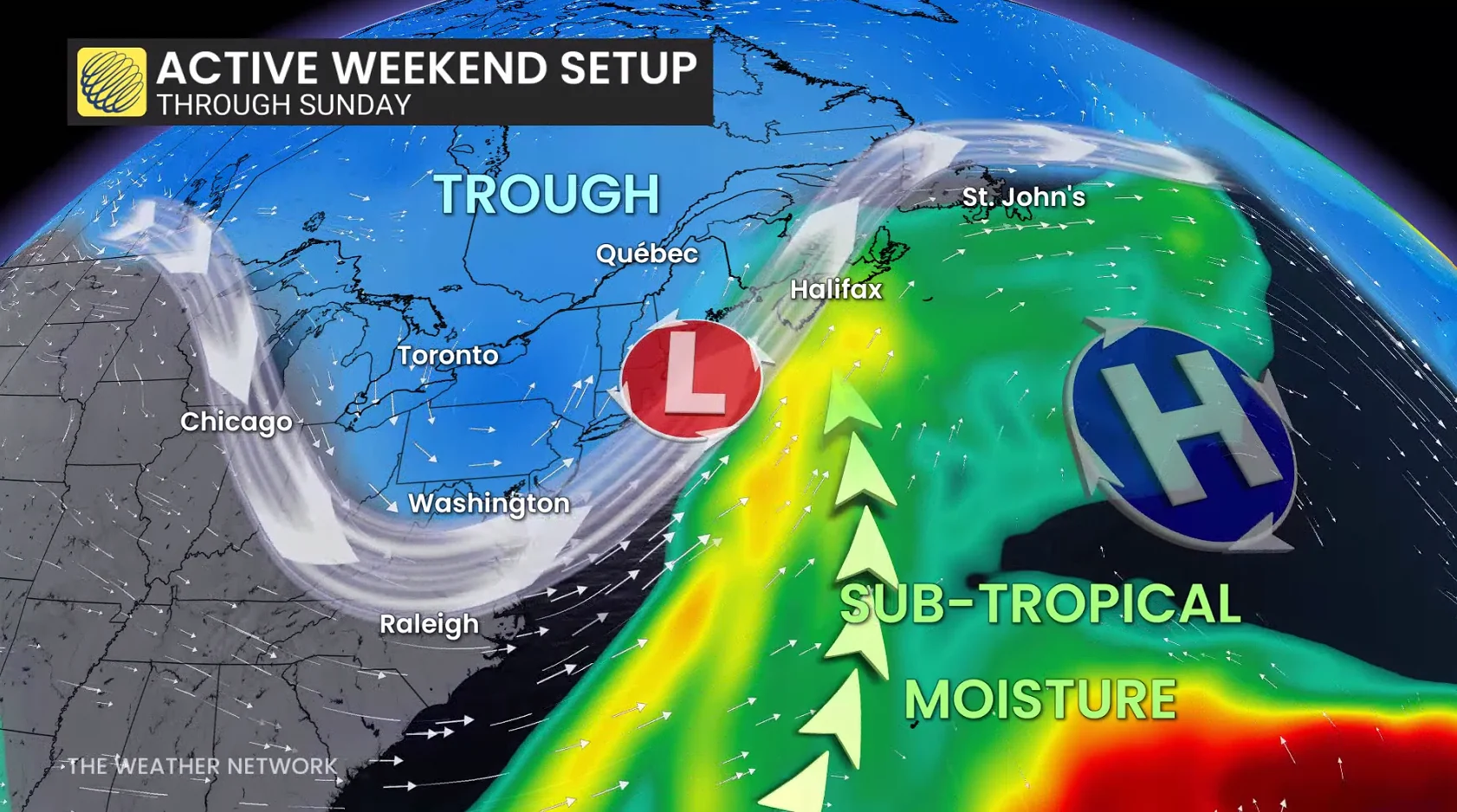
By Sunday, the rainfall should lift into Newfoundland, briefly encompassing all of Atlantic Canada before gradually easing across the Maritimes later in the day.
DON'T MISS: Winter has a few tricks up its sleeve for Eastern Canada this year
Rain totals will be quite substantial across much of the Maritimes, and into southwestern Newfoundland. Amounts of 50-80 mm are expected for much of Nova Scotia, southern New Brunswick, and the Burgeo shores.
Meanwhile, 30-50+mm are forecast for central New Brunswick and P.E.I.
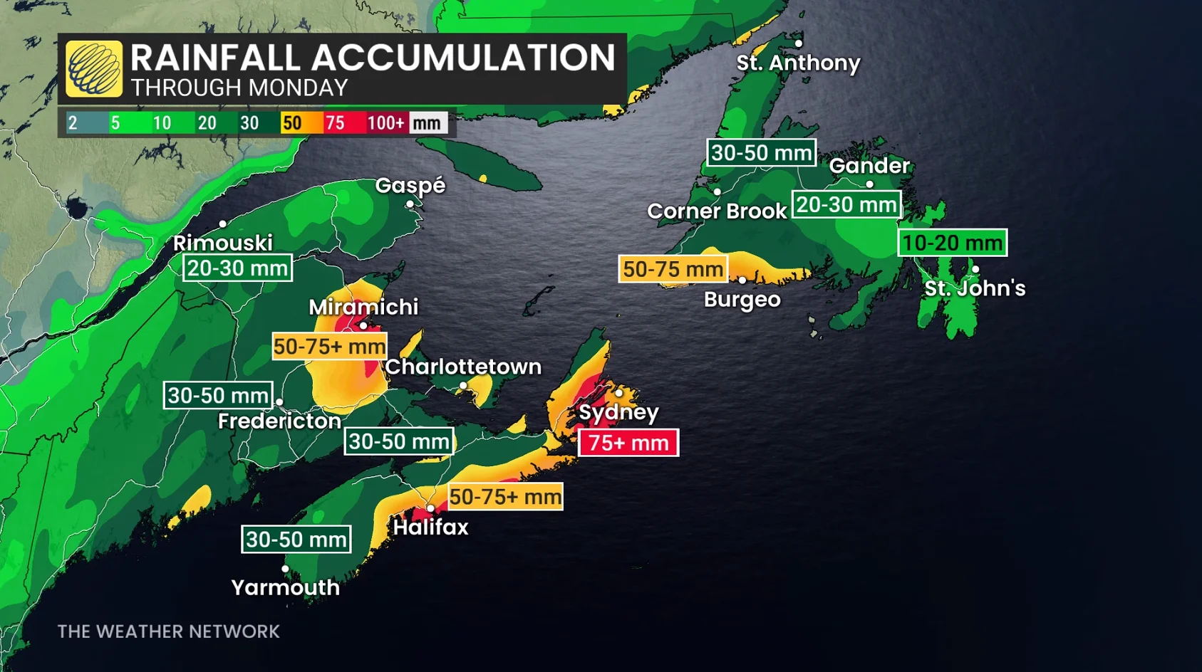
Peak rainfall rates could be up to 10 mm an hour under the heaviest downpours through Saturday night.
Winds are largely a non-factor, with maximum gusts staying below 50 km/h. Locally stronger gusts expected across southwestern Newfoundland, however.
WATCH: Yellow warning issued for rainfall in the Halifax region Saturday
Thunderstorms in November?
The atmosphere becomes unusually unstable across much of the southern Maritimes through Saturday, extending into the nighttime as the jet stream lifts across the area.
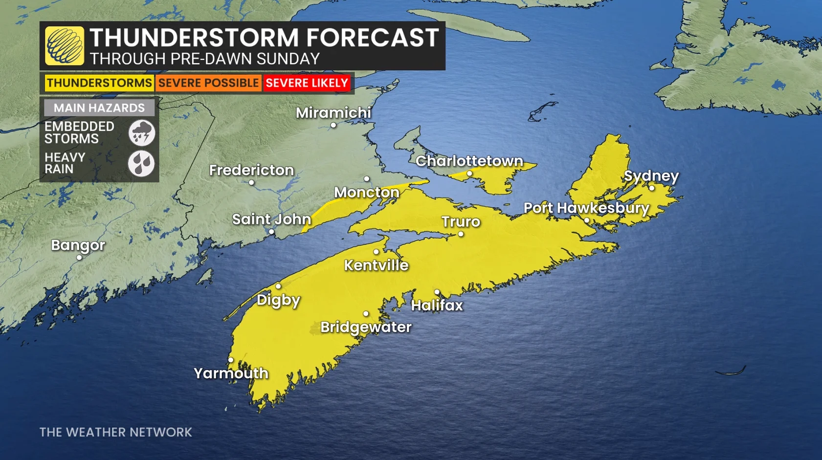
Elevated instability will allow the developing of thunderstorms across a big chunk of Nova Scotia, with heavy rainfall being the primary threat.
Once the subtropical air mass moves across Nova Scotia, overnight lows will staying in the mid-teens--a significant departure from normal (10 C above).
Although some rainfall is beneficial, it’s coming at a rate that will cause some localized impacts, including ponding, pooling and increased run-off, which will be detrimental.
Stay with The Weather Network for the latest updates and information on your forecast across Atlantic Canada.