A redo of stormy, potentially tornadic pattern on eastern Prairies and Ontario

The weekend trend for stormy weather has shifted east from the Prairies into Ontario. Severe storms threatened southeastern Manitoba Sunday, with the same threat covering parts of the province and northwestern Ontario heading into Monday.
--
The weekend trend for stormy weather has shifted east from the Prairies into Ontario. Severe storms threatened southeastern Manitoba Sunday, with the same threat covering parts of the province and northwestern Ontario. Monday could see more potent storms, but there is relief coming from the persistent pattern. More on Monday's severe storms, and what's beyond, below.
MUST READ: 5 essentials to take to the farmers’ market with you on sunny days
THIS WEEK: STARTS OFF STORMY, BUT PATTERN WILL BREAK AS TEMPERATURES RISE
Monday’s forecast features more of the same active weather for parts of Manitoba and northwestern Ontario. There is a thunderstorm risk along a frontal boundary.
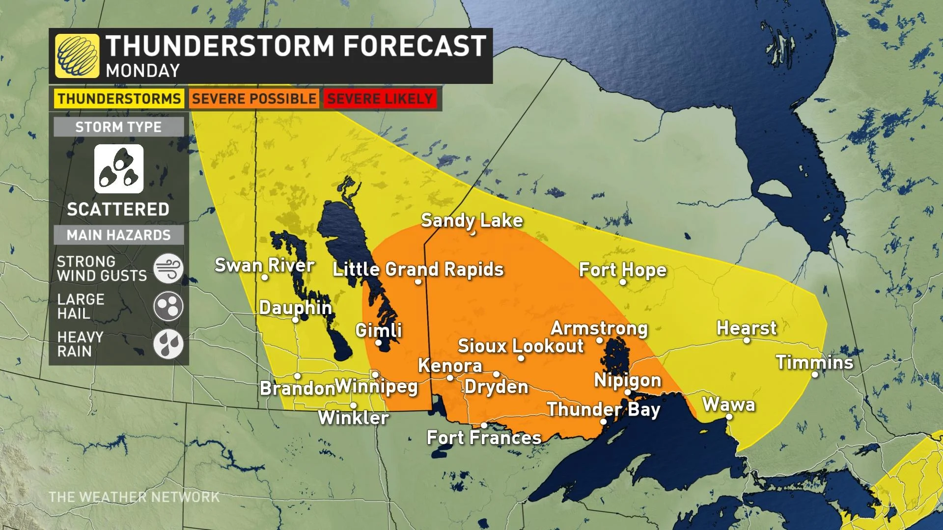
Storms could become severe in areas stretching from Winnipeg, Man., to Thunder Bay, Ont. Any that do reach severe limits will be scattered in nature, however, but could produce strong wind gusts, large hail and heavy rain.
Looking ahead, a strengthening ridge will bring heat to the region, especially early and mid-this week.
The hot weather will be especially felt by Wednesday with temperatures reaching the low- to mid-30s across southern Alberta and southwestern Saskatchewan, then spreading east.
As well, for this week -- beyond Monday -- some welcome news for those weary of the prolonged thunderstorm threats: A few days of quieter weather is expected for the Prairies.
WATCH BELOW: THREE CONSECUTIVE TORNADOES TOUCH DOWN IN SASKATCHEWAN ON FRIDAY
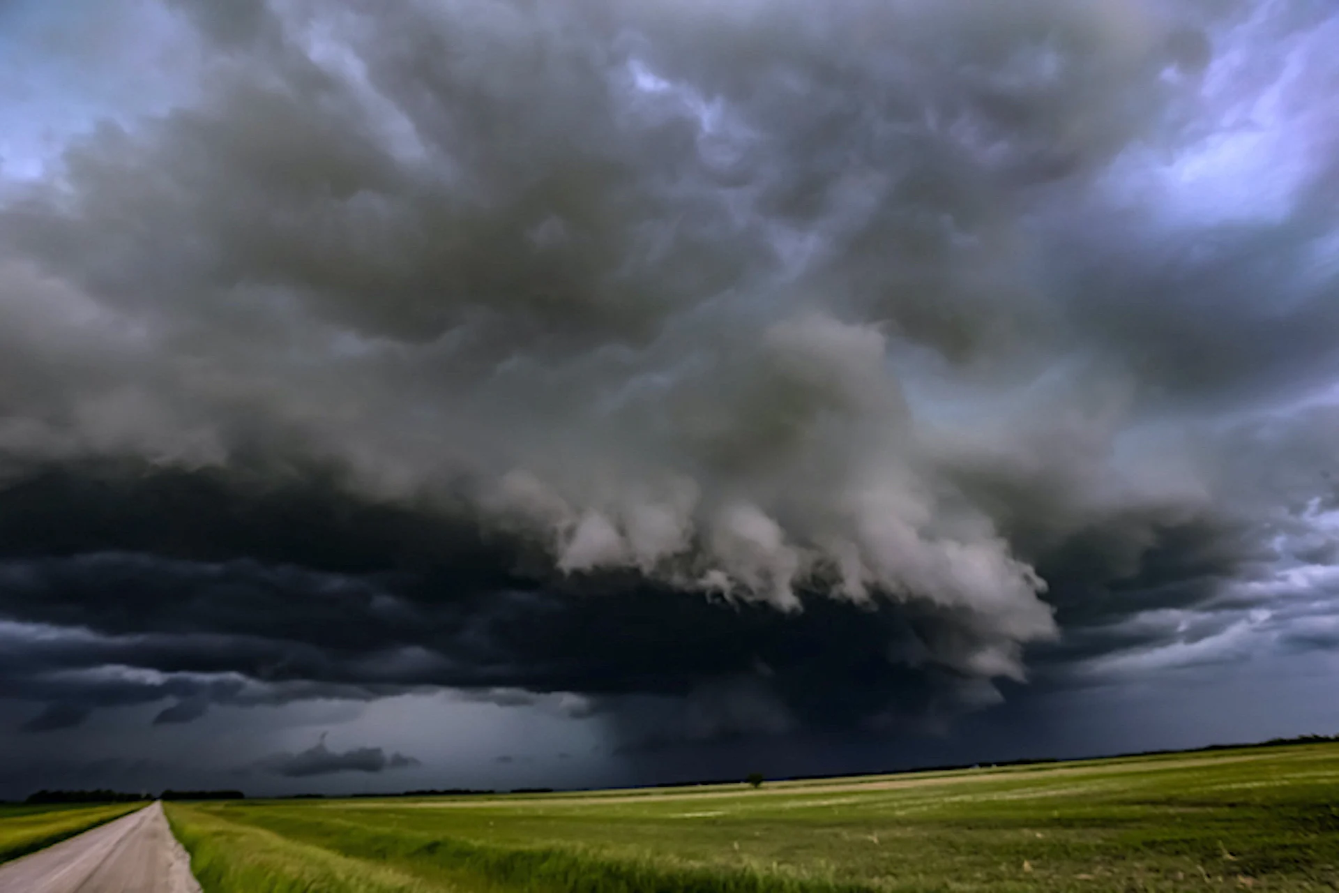
Thumbnail courtesy of Bob Ledoux, taken in Winnipeg, Man.
Be sure to check back for the latest updates on the storm threat across the Prairies.