Late-May winter storm hammering a major Canadian highway
Winter hasn’t let up yet for parts of Canada still dealing with snow and ice a week out from the beginning of meteorological summer
We’ve got just a week left in May and there are still winter storm warnings popping up on the board for some parts of the country.
Periods of freezing rain and accumulating snow will make travel difficult over the next couple of days for portions of a major highway that serves communities in the Far North. A winter storm warning is in effect.
DON’T MISS: Ominous signs for hurricane season as Atlantic swelters, La Niña looms
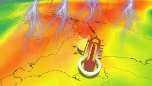
Few things remind us of Canada's sheer vastness quite like the weather. Snow and ice continue to hound parts of the country even as the nation’s capital cracked the 30-degree mark and severe thunderstorms roared on Wednesday.

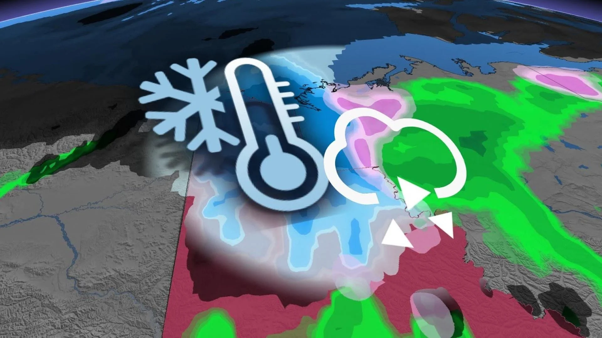
A broad trough over far northwestern Canada will create conditions favourable for winter weather across sections of the Dempster Highway in the northern Yukon Territory and into the Northwest Territories.
The wind chill forecast map for Friday shows the cold air over the Arctic Ocean funneling directly into the northern shores of the Yukon and N.W.T. toward Inuvik.
MUST SEE: Melting ice caps may set our clocks back one second by next decade
Environment and Climate Change Canada (ECCC) issued a winter storm warning for northern sections of the highway across the Yukon, as well as the N.W.T.’s South Delta Region around Ft. McPherson and Tsiigehtchic.
“A major winter storm is expected,” ECCC said in its warning for Ft. McPherson.

Freezing rain will begin overnight Thursday into Friday morning as precipitation meets cold air looming over the region. Some areas could see up to 5 mm of ice accretion before precipitation changes over to snow early Friday morning.
Snow will continue for many areas through the day Friday, leaving behind 10-15 cm of accumulation across the northern Dempster Highway by the evening hours.

Persistent snowfall combined with strong easterly winds gusting as high as 60 km/h will lead to blowing snow and severely reduced visibility along the highway. Dangerous travel is expected through the day Friday.
Conditions will improve for the region as the precipitation ends on Saturday.