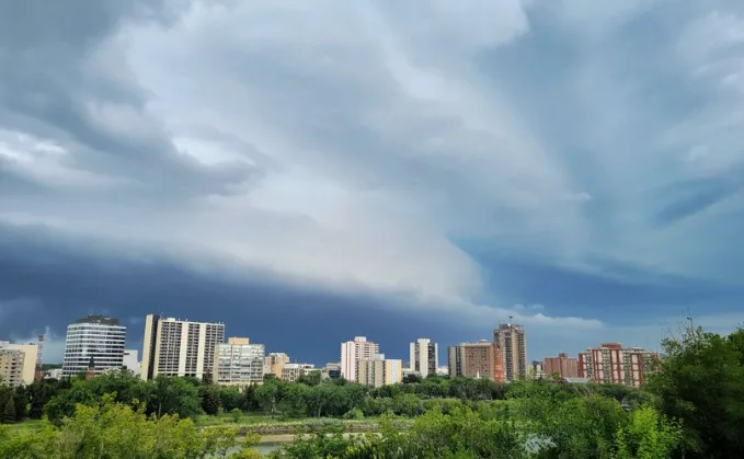
Last round of storms after multiple days of severe conditions on the Prairies
The new week begins with a new thunderstorm threat across parts of the Prairies after days of severe conditions and confirmed tornadoes.
After a stretch of thunderstorms and confirmed tornadoes from last week, the very active period of severe weather across the Prairies will have one last act on Monday. A lingering boundary across central Saskatchewan and Manitoba means there's a renewed risk of thunderstorms, possibly reaching severe criteria on across the far-eastern Prairies and parts of northwestern Ontario. In the wake of this active stormy stretch, a ridge of strong high pressure will bring a period of heat to the Prairies, but also keep the storm threat temporarily at bay. More on what's ahead, below.
--
THIS WEEK: STARTS OFF STORMY FOR PARTS OF PRAIRIES, BUT PATTERN WILL BREAK AS TEMPERATURES RISE
A very active period of severe weather across the Prairies will have one last act on Monday, as a surface trough draped across the region acts as a focus for a final round of storm development.
Unlike the last few days, the tornado threat on Monday will be minimal, but strong instability values may still fuel heavy downpours, strong winds, and large hail.

Though the storm threat stretches all the way to northern Saskatchewan, the severe threat will be mainly focused on southeastern Manitoba and northwestern Ontario, where instability values will be the highest.
Any storms that reach severe limits however, will be scattered in nature, but could still produce strong wind gusts, large hail and heavy rain.
HIGH HEAT SPREADS ACROSS THE PRAIRIES
In the wake of this active stormy stretch, a ridge of strong high pressure will bring a period of heat to the Prairies, but also keep the storm threat temporarily at bay.
The hot weather will be especially felt by Wednesday with temperatures reaching the low to mid-30s across southern Alberta and southwestern Saskatchewan, then spreading eastwards.
Don't get too comfortable with the brief lack of storms, however. The next atmospheric disturbance will be following close, bringing a renewed risk for storms to the region through mid to late week.
By Wednesday, storms become more widespread, spilling across most of Alberta and into Saskatchewan as a low-pressure system moves toward the Alberta and Saskatchewan border as upper-level energy streams across the Rockies from British Columbia.
11 CONFIRMED TORNADOES IN SEVERAL DAYS ACROSS THE PRAIRIES
The last several days including on the weekend, the Prairies were swamped with ongoing tornado threats, which lasted from July 4-10.
Confirmed tornadoes kicked off in Alberta and Sakatchewan, also bringing golf ball- and hen egg-sized hail.

A total of four confirmed tornadoes hit the region July 5, stretching from Madison, Sask. to Alliance, Alta.

While there haven’t been any reports of tornado damage from the region, one storm in Alliance was certainly impressive.
The Weather Network’s Kyle Brittain followed the storm as it reached its peak. Brittain documented the storm’s photogenic structure and resulting hail that covered the region.
By Friday, a round of severe thunderstorms fired up along the North Saskatchewan River, spawning multiple tornadoes that were confirmed by storm spotters in the area.

A 11th tornado was verified by Environment and Climate Change Canada (ECCC) on Monday. This time it occurred in Manitoba on Saturday.
On the evening of Saturday, July 9, a severe thunderstorm moved through parts of southern Manitoba. ECCC received a report of a brief tornado near Argyle. The agency gave it a preliminary EF-0 rating on the Enhanced Fujita scale.
WATCH BELOW: THREE CONSECUTIVE TORNADOES TOUCH DOWN IN SASKATCHEWAN ON FRIDAY
Be sure to check back for the latest updates on the storm threat across the Prairies.
