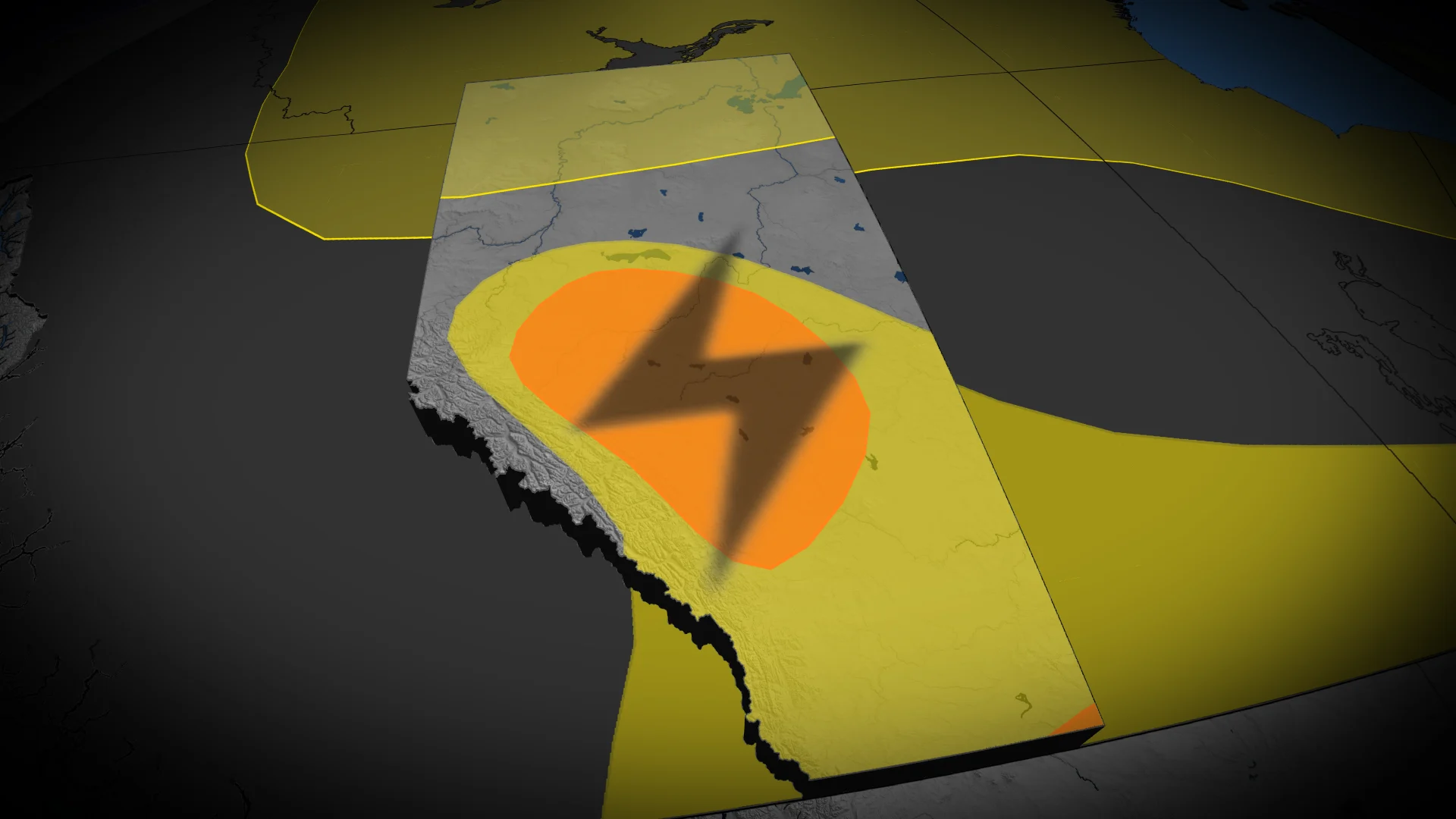
Large hail and winds: Multi-day severe storm risk builds over Alberta

Active weather is set to return Tuesday afternoon across central Alberta, bringing the risk of severe storms. The forecast includes a marginal potential for tornadoes in the region
Alberta faces a multi-day severe thunderstorm threat, with impactful storms expected Tuesday and Wednesday.
A developing low pressure system moving through the province on Tuesday will provide the necessary trigger to initiate severe weather.
DON'T MISS: Tornado warning safety: Here’s what you should do
Residents across impacted regions should monitor alerts, and be prepared for the quickly changing and deteriorating conditions.
Severe thunderstorm risk builds in Alberta Tuesday, with threats of large hail and isolated tornadoes
Thunderstorms are forecast to develop near the foothills and move toward west-central Alberta by late afternoon into the evening, impacting Edmonton and surrounding areas. Early in their lifecycle, some thunderstorms may evolve into supercells, supporting the potential for very large hail, possibly up to golf ball size.
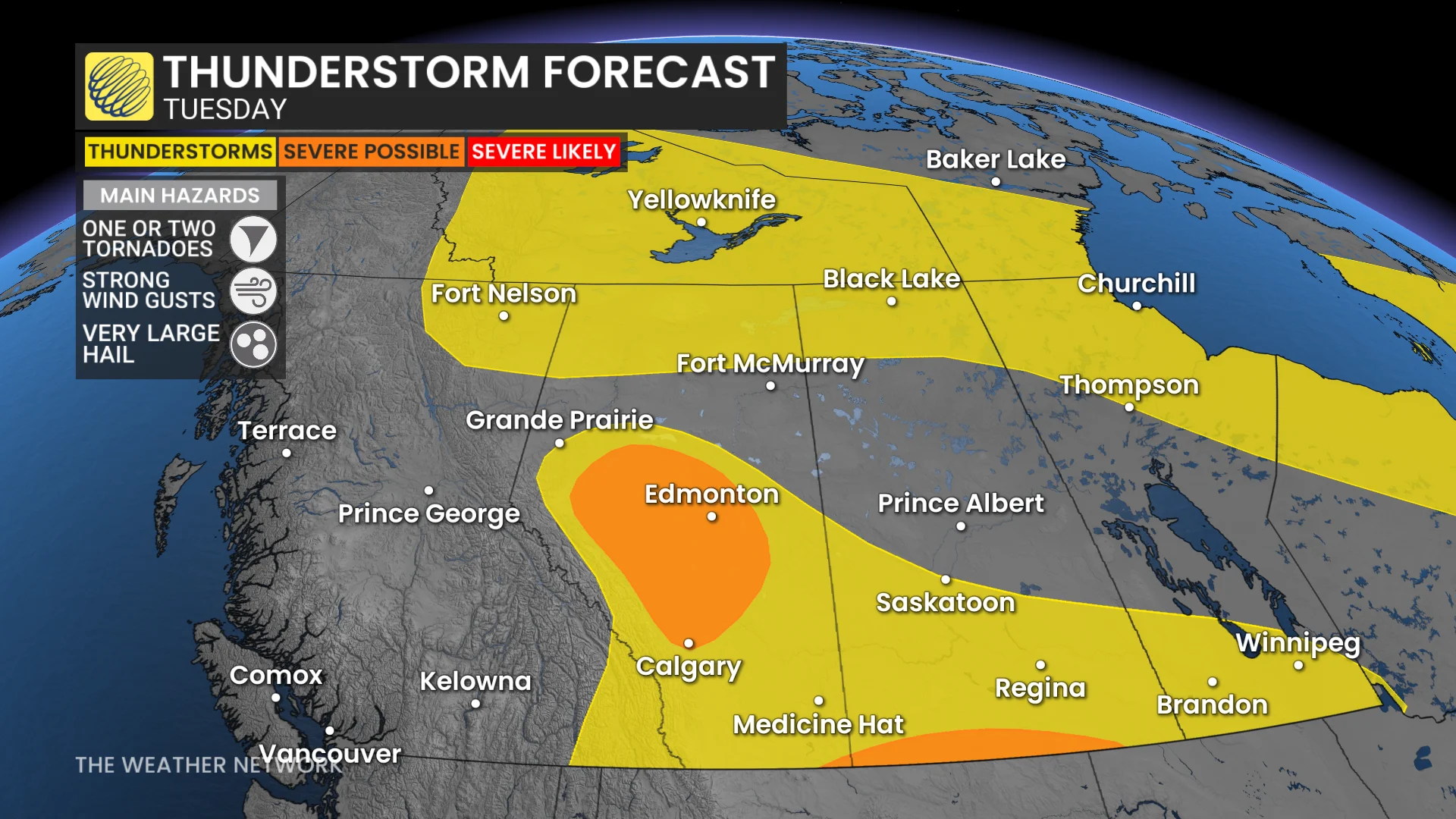
Embedded rotation may occur, and an isolated tornado cannot be ruled out, with central Alberta, particularly areas near Red Deer, facing the highest evening risk.
As storms track eastward, they may organize into clusters, extending the severe weather threat overnight.
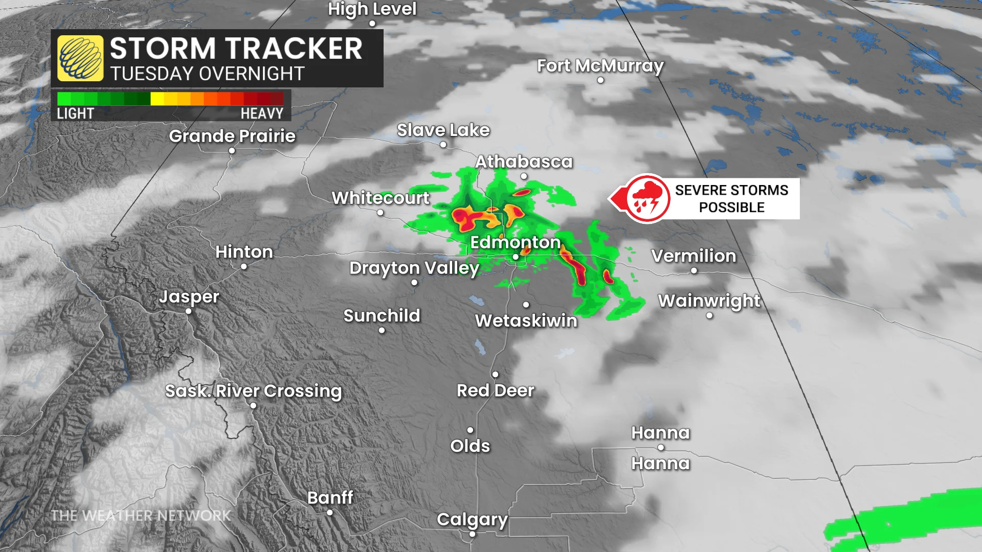
Hazards include large hail, strong wind gusts, localized heavy downpours, and high atmospheric moisture levels. While the tornado risk remains limited, conditions will be closely monitored.
RELATED: Tornadoes in Alberta already up more than 50 per cent from last year
Severe thunderstorm risk expands across Alberta and Saskatchewan Wednesday
The same slow-moving low pressure system will develop a trough by Wednesday, setting the stage for several pockets of severe thunderstorms across Alberta and extending into Saskatchewan.
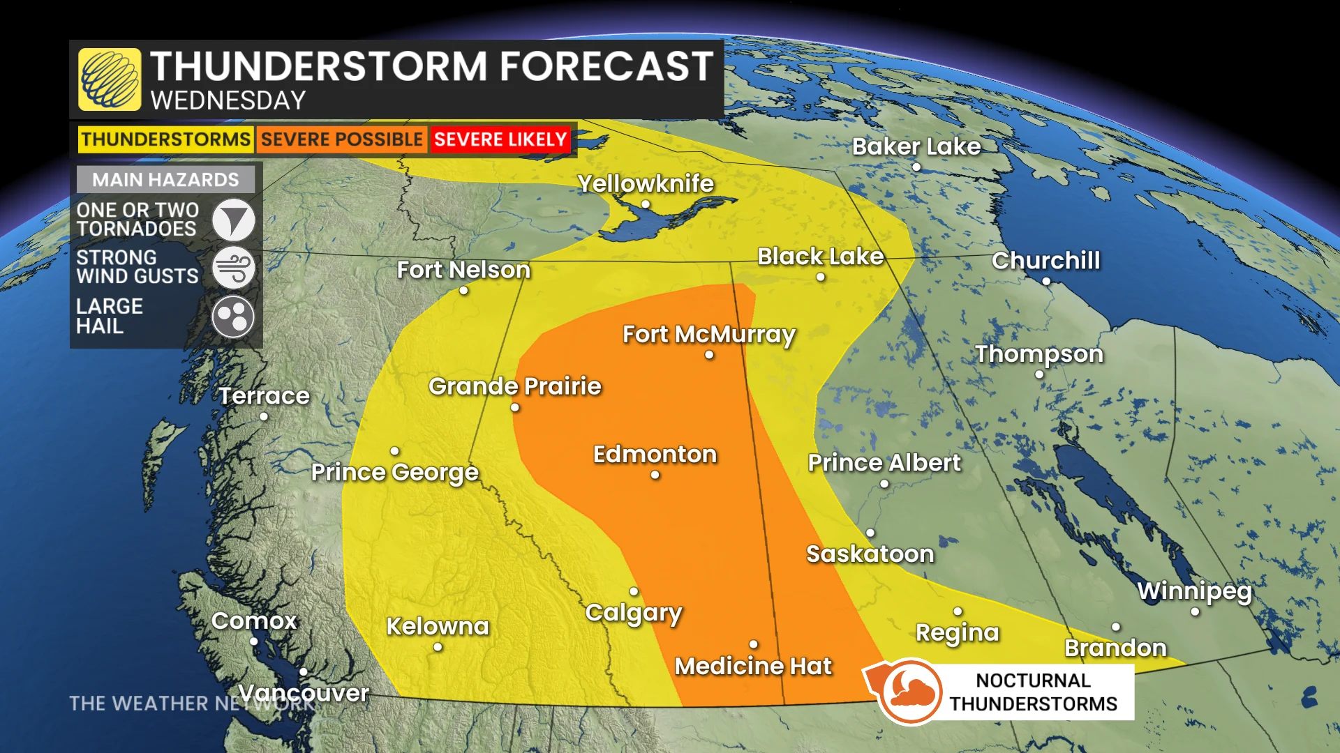
Severe storms are expected along the QE2 corridor north of Calgary, tracking northeast throughout the day. At the same time, multiple clusters of thunderstorms are forecast to develop across northern Alberta, bringing localized threats.
By late afternoon, severe thunderstorms will intensify across southern Alberta and Saskatchewan. These storms are expected to persist through the evening and into the overnight hours, with storm clusters forming a line as they track eastward across the Alberta-Saskatchewan border.
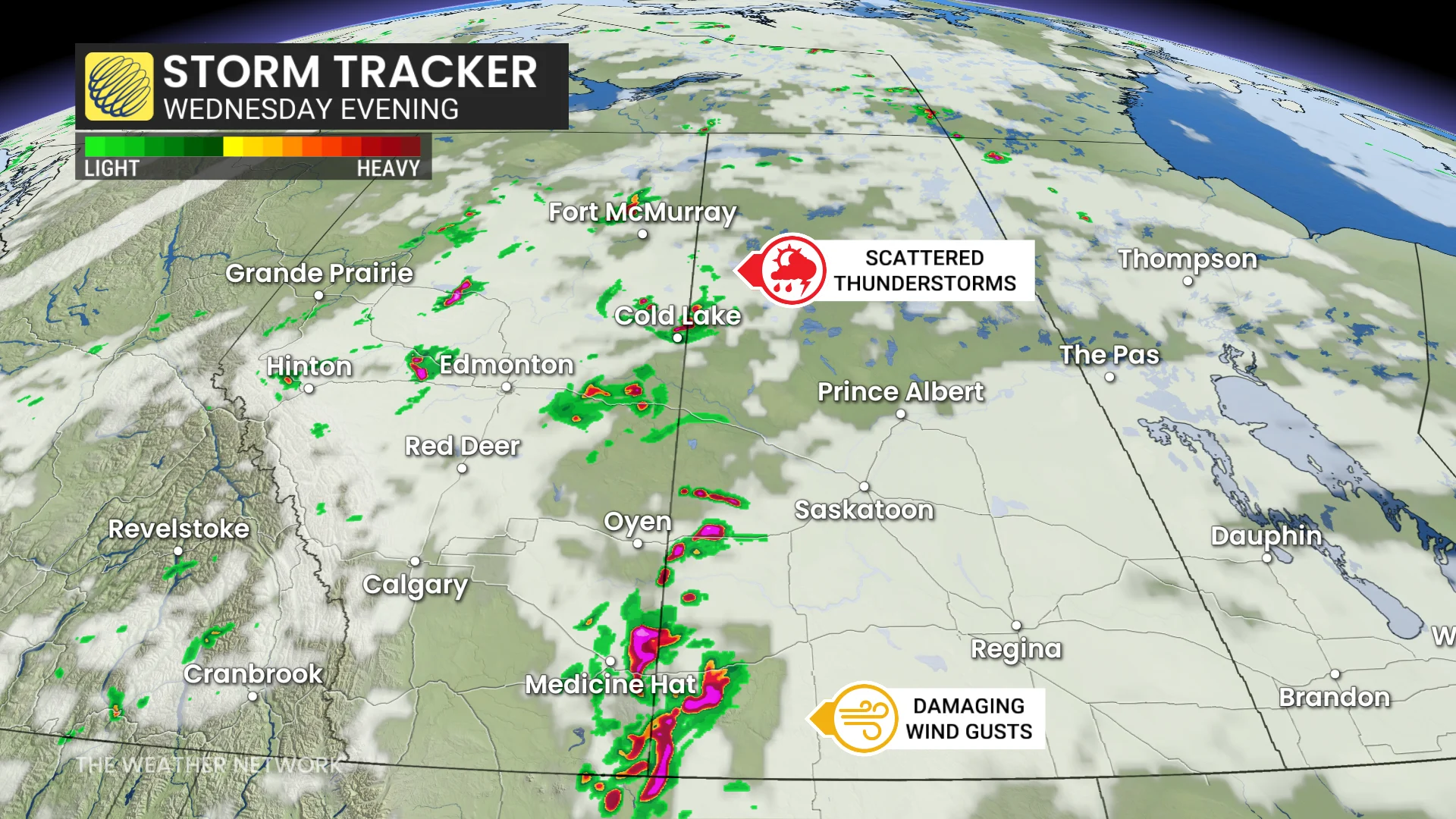
Favourable atmospheric conditions include elevated thunderstorm energy and strong upper-level winds, increasing the risk of large hail, damaging wind gusts, and the potential for an isolated tornado.
Residents are encouraged to monitor alerts and have safety plans in place for changing weather conditions.