Large hail, 90+km/h winds: Prairies face a new threat for severe storms
Beware a risk for severe thunderstorms on Saturday on parts of the Prairies, with a chance of large hail and damaging winds. A tornado can't be ruled out for some as supercells will be possible
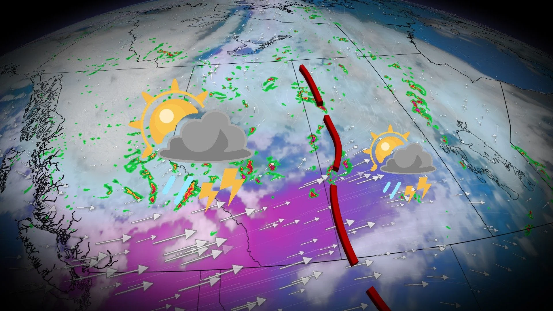
The Prairies are bracing for yet another round of severe weather on Saturday, a setup that's been ongoing in recent days.
Stay aware of severe weather watches and warnings in your area, especially if you have outdoor plans.
DON'T MISS: Ready or not, Canada expecting high-impact weather to finish June

Additional severe weather expected Saturday
A strengthening, low-pressure system and upper-level energy will trigger another active day of thunderstorms across the Prairies on Saturday.
Warm, humid air and favourable wind shear will create an environment capable of producing supercell thunderstorms, especially across Alberta and Saskatchewan.
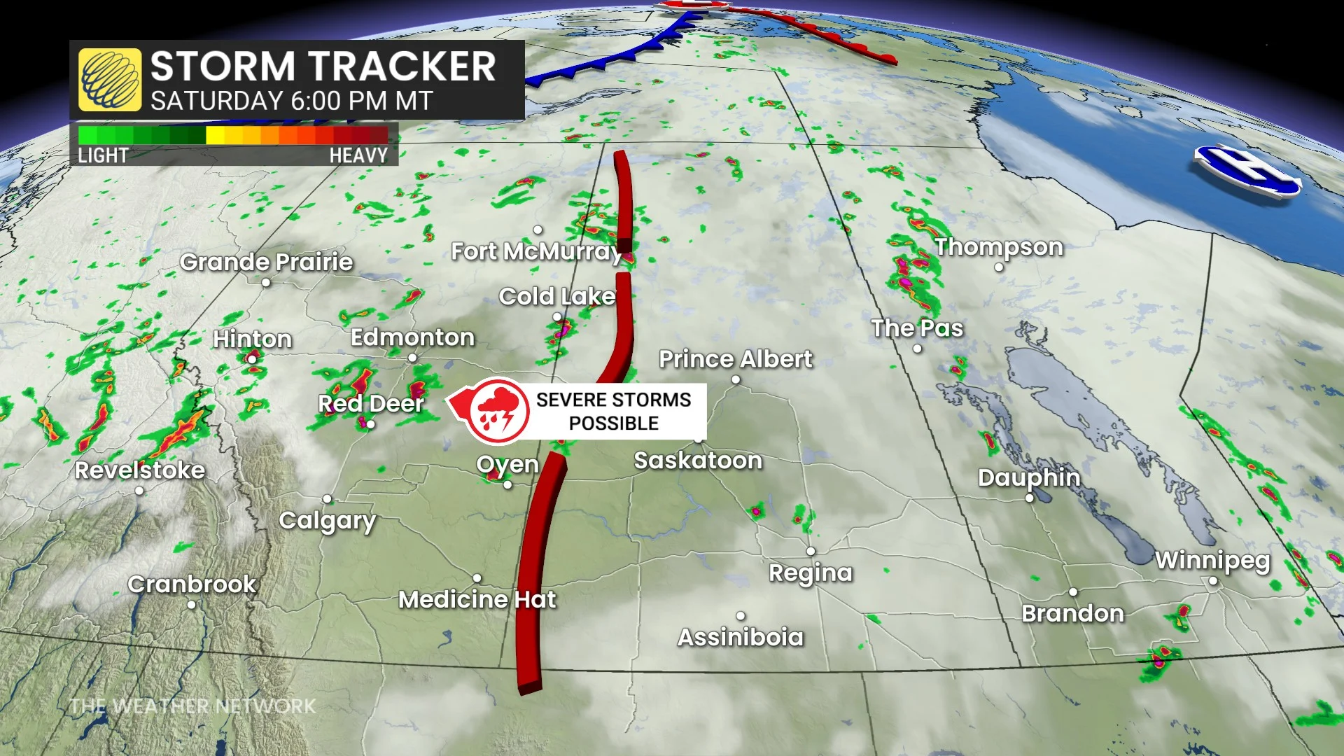
The greatest severe weather risk is across central and southern Alberta, spreading into central Saskatchewan through the afternoon and evening.
Storms may begin as discrete supercells before growing into larger clusters as they move east.

Large hail (up to ping pong ball-size or larger), damaging wind gusts of 90–100 km/h, and even a tornado are all possible, with the twister risk highest in Alberta.
Storms moving from Alberta into Saskatchewan will be fast-moving, increasing the risk of widespread, damaging winds and large hail.

Farther east into eastern Saskatchewan and western Manitoba, scattered, severe storms are possible later in the day. The primary threats will be large hail and damaging wind gusts, though storms may be more isolated than those farther west.
Stay with The Weather Network for all the latest on conditions across the region.