Lake-effect machine parked over Ontario may usher in heavy Thanksgiving rain
It’s rare for such a unique setup to unfold across Ontario for this long of a period. For perspective, if this event occurred in December or January, we’d be talking about more than a metre of snow instead of soaking rains.
Parts of southern Ontario are literally dodging a snowball or two over the next couple of days.
While areas to the north could see historical snowfall by Thanksgiving, communities farther south could see significant amounts of rainfall through Tuesday.
Both timing and temperatures will make the difference between 50-100 mm of rainfall and close to a metre of snow accumulating during this event.
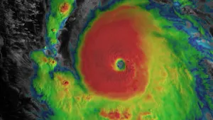
RELATED: Historic snowfall on the Thanksgiving table for parts of Ontario
It’s rare for such a unique setup to unfold across Ontario for this long of a period. For perspective, if this event occurred in December or January, we’d be talking about more than a metre of snow instead of soaking rains.
Lake-effect machine roars through mid-week
Areas: Southern Ontario
Timing: Monday to Wednesday
Weather: Lake-effect rain, local flooding.
This season’s first slug of Arctic air will overstay its welcome across the Great Lakes thanks to a stationary low parked over northeastern Ontario.

Water temperatures in the mid-teens will sharply contrast with air temperatures hovering just below the freezing mark, providing the instability needed to support convection over the lakes.
Steady, persistent winds out of the west-northwest will organize the rain squalls and lock them over a relatively small region.

MUST SEE: Giant Antarctic ozone hole grows 2.5 times bigger than Canada
Although Wiarton has seen snow in 49 of the last 75 Octobers, this will not be a frozen ordeal for the snowbelt. The snow will be confined to northeastern Ontario where the first white Thanksgiving could be in store for some.

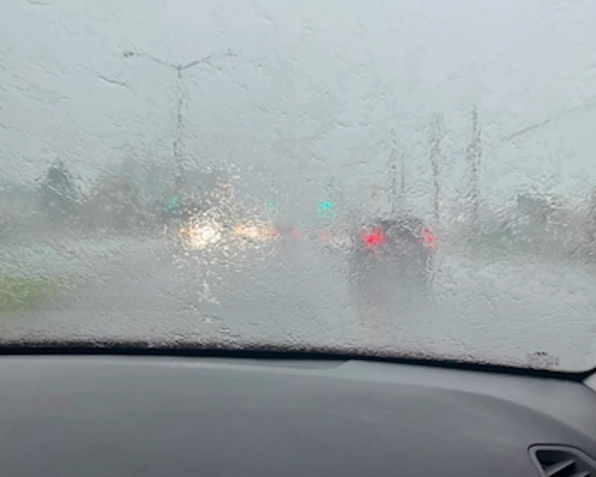
We could see hefty rainfall totals by the time all is said and done.
Folks across southern Muskoka, the Bruce Peninsula, and possibly the 401 corridor east of Kingston could see 75-100 mm of rain by the middle of the week.
Localized flooding is possible across areas that experience the heaviest rains. Avoid flooded roads if you have to drive through water-logged areas over the next few days.
Stay tuned to The Weather Network for the latest forecast updates in Ontario.