PHOTOS: Record rainfall floods streets, ice topples trees in southern Ontario

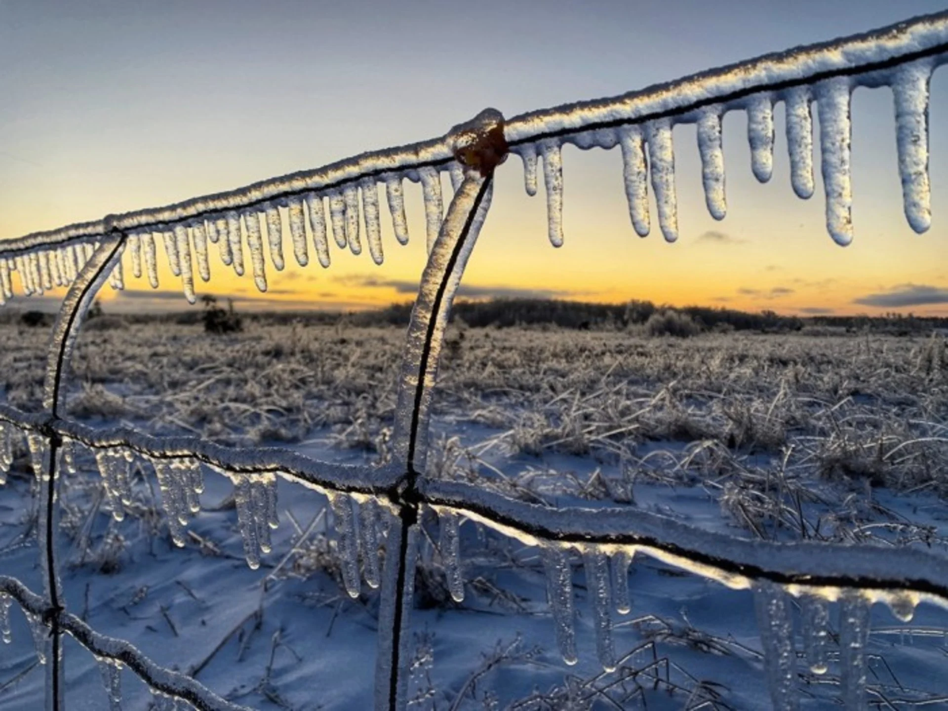
The storm has now exited most of southern Ontario, but it didn't leave without landing a few parting shots for parts of the region Sunday. Following a hours of freezing rain, more than 20 mm of ice built up on surfaces in places such as Shelburne and Hopeville, and locally heavy snow Sunday morning made a mess of area roads.
At 10 a.m. Sunday, Hydro One reported more than 11,000 customers without power, the majority of them between Kincardine and the northern GTA, but that number was down to around 3,000 by 7 p.m.

Enough rain fell earlier Saturday that it shattered rainfall records in some areas including at Toronto Pearson International Airport, which received close to 60 mm of rain.

With the colder temperatures Sunday, standing water froze across much of the province, and many spots that managed to avoid freezing rain Saturday saw icy scenes as flooded areas freeze over.
Some roads were closed as a result of the flooding Saturday including in Toronto, where officials shut down the southbound Don Valley Parkway from Bloor Street to the Gardiner Expressway. Though the situation was improving through the day Sunday, water levels remained high, with the London Fire Department having to rescue two people from the swollen Thames River.
Here are some of the latest photos and videos being circulated on social media.
Thumbnail courtesy of Mark Robinson.