Ontario bracing for ugly mix of snow, ice, and freezing rain

After an exceptionally warm and windy Wednesday, conditions will turn much cooler on Thursday, with a messy mix of rain, ice and snow spreading across parts of Ontario for Friday
Ontario looks to end the week with a crash back to reality as nature reminds us that it’s still the middle of winter despite the repeated spells of spring-like temperatures.
A low-pressure system sweeping north of the border brought warm and very windy conditions to much of southern Ontario on Wednesday.
Things will flip in a hurry on Thursday and Friday, though, as another system hot on its heels ushers in colder temperatures and a spell of wintry precipitation.
EXCLUSIVE: Runaway February thaw threatens records across Ontario
Texas low set to bring widespread messy wintry mix
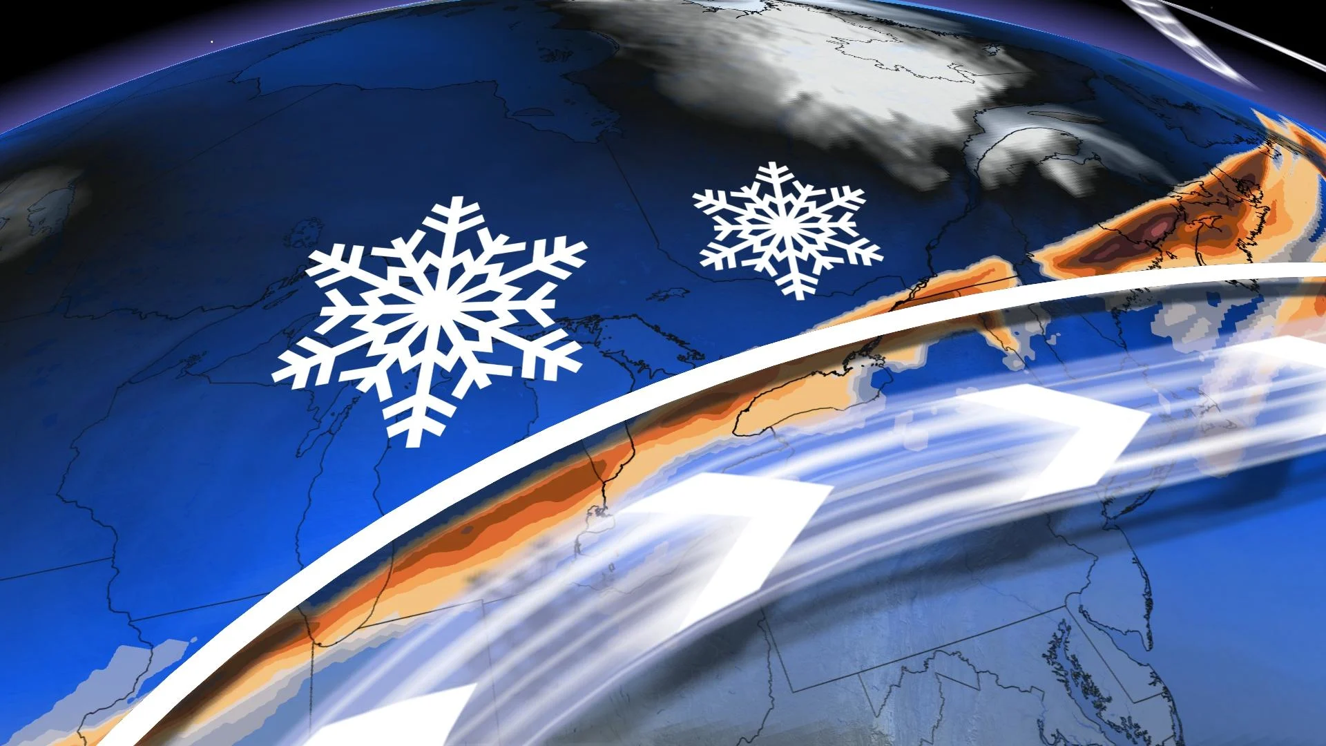
Ontario will lurch from spring-like warmth on Wednesday to the risk for travel headaches by Thursday as this secondary storm system pushes into the province.
The system will arrive on Thursday afternoon with snow, ice pellets, and freezing rain for much of the region. Icy conditions will become a concern Thursday night into early Friday morning across a large swath of southern Ontario. Snow will be the main concern for folks north of the Greater Toronto Area (GTA).

Across and south of the GTA, though, marginal temperatures through the atmosphere will make for a much dicier setup as precipitation falls in the form of ice pellets and freezing rain. The greatest risk for ice pellets will fall across and west of the GTA, covering communities like Kitchener and Guelph.
Farther south, there will be just enough warm air above the surface to allow for a period of freezing rain. The bulk of the freezing rain will fall on the Niagara Escarpment, as well as in southeastern Ontario around Kingston.

Residents should prepare to wake up to a slick start to Friday as the system pulls off towards the east, temperatures fall, and precipitation transitions to snow.
Behind this system, temperatures will also temporarily tumble to subfreezing values leading to a chilly start to the Family Day long weekend.
DON'T MISS: It may be mild, but the snowiest months are just ahead for these parts of Canada
Temperatures will quickly rebound back above seasonal for the rest of the weekend, however. Much colder weather will attempt to spread in for mid to late next week, but the very warm pattern over the eastern U.S. will also attempt to fight back. This should result in an active and unsettled pattern, with the potential for messy and potentially high impact wintry systems.
A colder and active pattern is expected to continue into early March.
WATCH: Icicle buildup could mean trouble for your home
Be sure to check back for the latest updates on the weather across Ontario.