Wild weather weekend for Ontario as warmth, heavy snow, ice bathe province

A classic early spring storm will sweep across Ontario this weekend with warm air in the south and significant snow and ice in the north.
We’re staring down a wild weather weekend across Ontario as a dynamic storm system approaches the Great Lakes. The province could see all of March’s weather jumbled into one messy weekend—heavy snow, ice accretion, warm temperatures, and even a few thunderstorms. Behind the storm, a wintry pattern will descend on the region. More on the turbulent weekend forecast and next week’s potential snowfall, below.
Visit our Complete Guide to Spring 2022 for an in-depth look at the Spring Forecast, tips to plan for it and much more!
A low-pressure system moving into Ontario and Quebec on Saturday will bring a wide variety of weather with it through Sunday. Here’s a region-by-region breakdown of what you can expect this weekend.
NORTHERN ONTARIO: SIGNIFICANT SNOWFALL EXPECTED, ADJUST TRAVEL PLANS ACCORDINGLY
Northern Ontario will see the worst of this storm as far as impacts go. Snow will start to move into the region on Saturday morning, but will pick up in intensity Saturday afternoon and continue through Sunday afternoon.
The heaviest snow will fall along the northern shores of Lake Superior and to the east, with a swath of 10-20+ cm expected from Thunder Bay to Timmins.

After a brief period of snow, areas along Highway 17 from Sault Ste Marie, to Sudbury, North Bay and Mattawa will see an extended period of freezing rain from late Saturday afternoon through Saturday overnight before temperatures warm up above freezing for early Sunday.
Some areas along Highway 17 could see 5-10 mm of ice accretion on cars, roads, sidewalks, and trees. This ice buildup could lead to slippery conditions, localized power outages, and even some small tree limb damage.
Widespread special weather statements are in effect warning drivers to adjust travel plans accordingly. A winter storm warning also covers Timmins and Wawa.
"Rapidly accumulating snow could make travel difficult over some locations," says Environment and Climate Change Canada (ECCC) in the warning. "Surfaces such as highways, roads, walkways and parking lots may become icy and slippery."
CENTRAL AND EASTERN ONTARIO: THREAT FOR SEVERAL HOURS OF FREEZING RAIN
Parts of central and eastern Ontario will see a few hours of light freezing rain Saturday overnight and into early Sunday morning. Temperatures will warm up fast enough behind the warm front on Sunday that the ice shouldn’t pose too much of a disruption across the area.

However, as with any freezing rain, there is still the chance for slippery conditions. A glaze of ice could accumulate on road ways, cars, and objects.
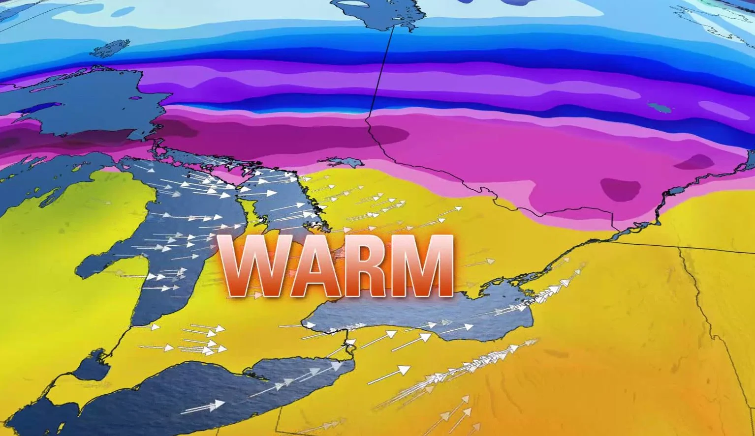
SOUTHERN ONTARIO: WARMEST TEMPERATURES OF THE YEAR SO FAR, BUT WITH GUSTY WINDS
As the centre of the low-pressure system will track through northern Ontario, much of the south will remain in the warm sector of this storm, eliminating the risk for snow and freezing rain this time around.
Rain is set to move into southern Ontario late Saturday overnight, with periods of rain showers continuing on Sunday and even the risk of a rumble of thunder or two.
Wind gusts are going to be at their strongest through the late morning and afternoon hours, with widespread gusts of 60-80 km/h likely. Some areas along the lake shores could reach up to 90 km/h.
Watch the animation below to see how the gusty winds will progress across southern Ontario this weekend.
Sunday’s going to be an otherwise pleasant day if you can overlook the winds. Temperatures will be warmer when you wake up on Sunday morning than they were when you went to bed on Saturday night.
Daytime highs will climb well into the teens for most areas away from the Huron shores. Many communities in southern Ontario are on track to experience their warmest temperatures since the middle of December.
If there's some extra sunshine, and the cold front doesn't speed up, some places may even have the potential to reach the 20-degree mark.

This taste of early May however, will be extremely brief, snapping right back into reality as soon as Sunday night as cold weather pushes back into the region.
LOOK AHEAD: SIGNIFICANT SNOWFALL POTENTIAL FOR SOUTHERN ONTARIO EARLY NEXT WEEK
Significant snowfall is possible for southern Ontario early next week, though exact totals are still uncertain and will depend on the storm track. This system does have the potential to bring 10+ cm of snow to parts of the region, including the 401-corridor, the same area which will have just seen the May-like temperatures on Sunday.
An active pattern is expected to continue through the third week of March as this region will be the battleground between widespread Arctic air across Central Canada and very mild weather across the eastern U.S.
Be sure to check back for the latest updates on the forecast in Ontario.