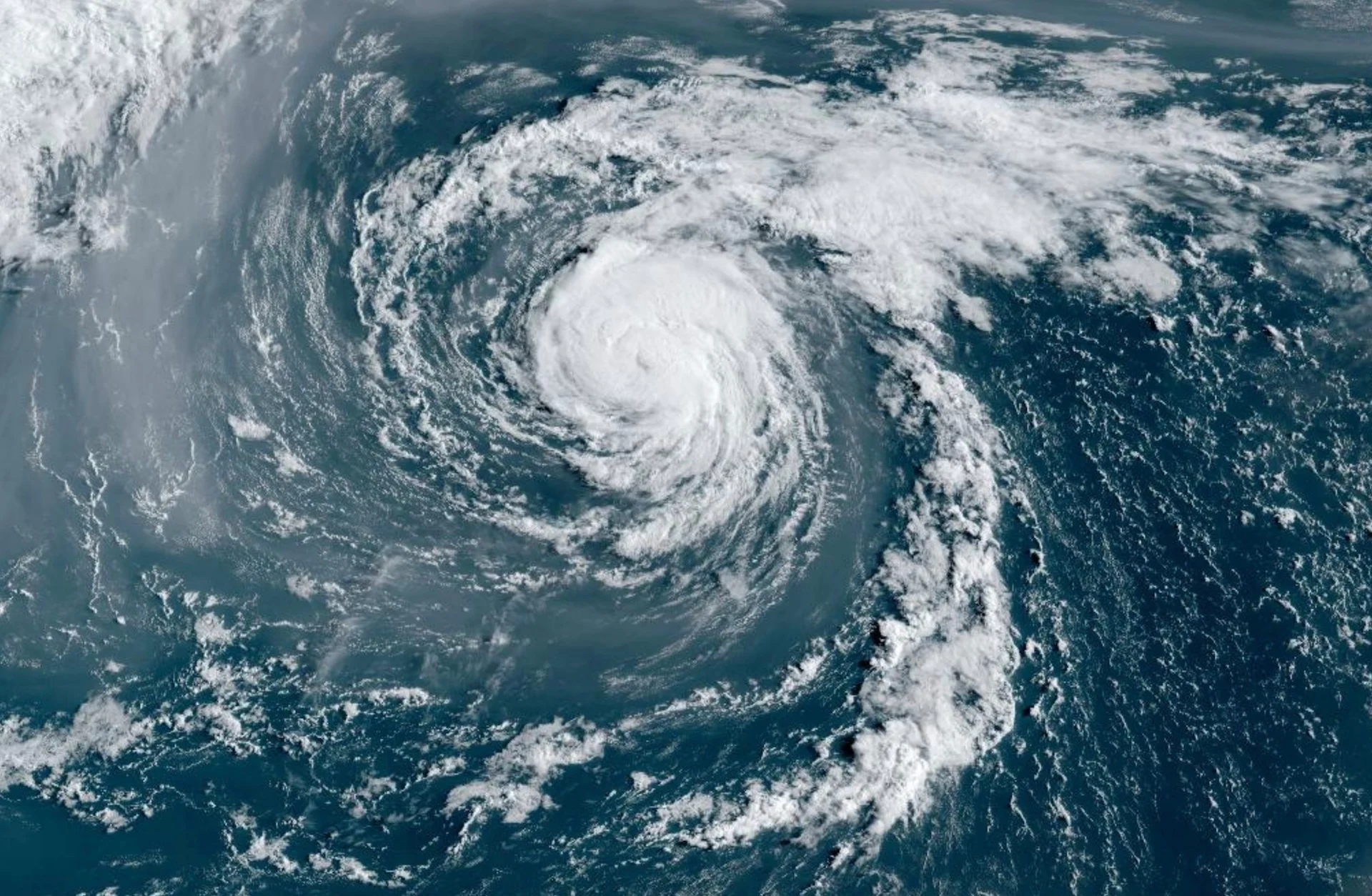
Rain, surf and wind impacts from Ernesto to be felt in Newfoundland Monday
The tropical storm continues to move slowly northward towards Canadian waters after making landfall in Bermuda on Saturday
After Hurricane Ernesto made landfall on the tiny island of Bermuda early Saturday, the storm has lost some strength as it heads north toward Canadian waters.
Ernesto, now a tropical storm, is slowly heading toward Canadian offshore waters, and is still expected to track well southeast of the Maritimes on Monday. Only Canadian impacts expected are moderate to heavy surf along the Atlantic coast of Nova Scotia, and some rain and moderate winds to extreme southeastern Newfoundland. Large waves can be expected there later in the day on Monday.
Keep up with all the latest news and information throughout hurricane season at The Weather Network’s hurricanes hub.
The latest forecast shows Ernesto remaining well southeast of Nova Scotia during the day Monday.
“The only expected impacts for Nova Scotia will be moderate to heavy surf conditions with a risk of rip currents along the Atlantic Coast of the province today and Monday,” the Canadian Hurricane Centre (CHC) said in a statement on Sunday morning. Rip currents are a common and deadly hazard for beachgoers.
Models have come into better agreement that Ernesto’s future track will bring some impacts to Newfoundland. Here’s what we know about the forecast so you can prepare for the potential effects of rain and wind on the island.
Eyes on Canadian impacts
Ernesto is slowly pulling away from Bermuda after hitting the island with high winds and drenching rains overnight Friday into early Saturday.

The storm will continue moving north Sunday before curving in a more northeasterly direction. Following this projected track, Ernesto’s centre will pass close to Newfoundland’s Avalon Peninsula late Monday night.
RELATED: Hurricane Ernesto leaves half of Puerto Rican customers without power
Ernesto will be transitioning into a post-tropical storm as it passes south of the Avalon Peninsula later Monday. It may pass close enough, however, to bring some rain and wind to portions of the Avalon Peninsula, and to a lesser extent, the Bonavista and Burin peninsulas.

"Given the large size of the storm, long-period ocean swells have already reached the Atlantic coast of Nova Scotia and will begin affecting southwest-facing coastlines of southeastern Newfoundland tonight into Monday," the CHC said in its latest statement.
These swells will bring hazardous surf and possible rip currents, and beachgoers and sight-seers are encouraged to exercise caution. For southeastern Newfoundland, large waves will arrive and build from the southwest Monday night, and will diminish on Tuesday.
There will be large, breaking waves giving a risk of some coastal flooding for the southern Avalon and Placentia Bay. There could be some minor damage to docks and coastal structures.

Based on current projections, wind gusts upwards of 100 km/h are expected across the southeastern Avalon Peninsula, with 70-80 km/h gusts expected for St. John’s.
Highest winds occurring south of the storm track are not likely to be a concern for the island. It is important to stay up to date with forecast updates in case the storm tracks farther north.
Rainfall won’t be particularly intense with this storm, with model guidance ranging from 30-60 mm depending on the system’s precise track through the region. The storm’s swift forward motion would limit the duration of rainfall to a few hours.
Continue to check back as the storm evolves and the details become clearer on this potentially impactful forecast across Newfoundland.
Header image courtesy of NOAA.
Stay tuned to The Weather Network for all the latest on Hurricane Ernesto.
