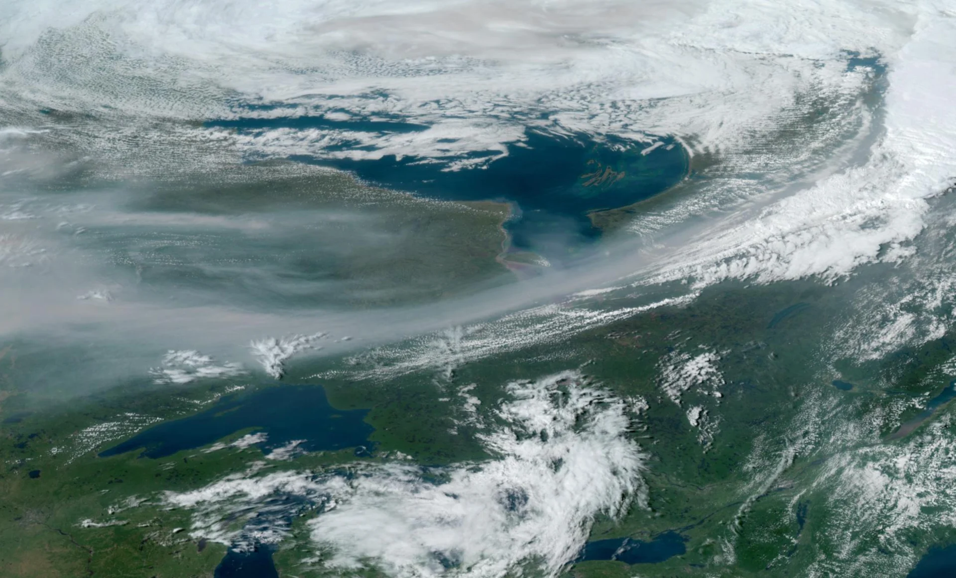
Humidex records fall as intense September heat broils northern Ontario
A ridge of high pressure bringing unusually hot weather to much of Ontario this Labour Day weekend looks to set all-time monthly records for communities up north
A hefty ridge of high pressure building over the Great Lakes will bring the summer’s hottest conditions to much of Ontario as we head into the first full week of September.
It’s not just folks across typically balmy sections of southern Ontario expecting this heat.
Unusually hot conditions are spreading all the way toward Hudson Bay, where communities are on track to see daytime high temperatures coming in 15-20 degrees above seasonal for the beginning of September.
SEPTEMBER OUTLOOK: Warm or cool? Reversing patterns to dominate Canada in September
We could break some all-time heat records in places like Moosonee, a community where the seasonal high over Labour Day weekend typically hovers somewhere around ‘light sweater’ territory.
The jet stream is unusually wiggly and jutting awfully far to the north this week. We’d normally see this band of swift winds starting to dip south toward the U.S. as fall approaches, which allows those refreshing gusts of fall to begin seeping south along with it.

As the jet stream lifts north toward the Arctic, a large ridge of high pressure has taken hold across the Great Lakes and Ontario. Upper-level ridges foster sinking air, which warms up as it descends toward the ground.
GET THE LATEST: Ontario rolls into Labour Day enduring summer’s boldest heat
The combination of bright sunshine, sinking air, and humid southerly winds will allow the heat to build toward record territory for much of northern Ontario through the first half of this week.

We already saw the heat start to build over northern Ontario during the day Sunday. Thunder Bay, Kapuskasing, and Moosonee all climbed above 30°C on Sunday afternoon.
It’s already so hot and humid in Thunder Bay that they measured a humidex reading of 42 at one point on Sunday, beating out a sweltering day in 1998 to secure a spot as the highest humidex ever recorded there in the month of September.

It’s only going to get worse on Monday and Tuesday. That old tropical hotspot of Moosonee is on track to tip the scales with a whopping 34°C high on Tuesday, with a feels-like value potentially cracking 40.
Things will revert back toward September-like territory in a hurry as the ridge weakens and a powerful cold front slices through the heat parked over Ontario.
The temperature in Moosonee will crash from 34°C on Tuesday afternoon down to a raw, gloomy, and below-seasonal 12°C on Wednesday. The feels-like value will drop from 40 on Tuesday to just 10 on Wednesday.
WATCH: What longer, hotter, and more frequent heat waves means for your health
Stay tuned to The Weather Network for the latest on conditions across Ontario.
