Complex storm to hit Central Canada with a myriad of wintry threats

The incoming storm is a multiple-part series that includes intense, potentially impactful winds Wednesday and a heightened flood, ice and snow threat Thursday. This will be capped off by a drop in temperatures and rapid freeze into Friday morning.
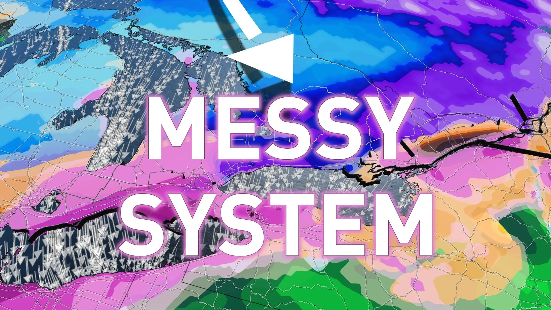
Southern Ontario and Quebec are in for an interesting and impactful second half of the week. A complex storm is knocking on Central Canada's doors, beginning Wednesday with a surge of warmth that could see the warmest temperatures of the year so far. But there will be intense winds developing, potentially strong enough to down trees and knock out power. That will serve as the appetizer for what's to come Thursday, with heavy rain bringing a localized flooding risk into part of the day, while the second half could see a wintry-mix cocktail of freezing rain, ice pellets and snow, depending on where the boundary ends up positioning itself. To cap it all off, temperatures will plummet for Friday morning, likely leading to a rapid freeze of any standing water and ice on already slippery surfaces. More on what we are watching through Friday and the possible challenges to commute times expected, below.
DON’T MISS: Here's how to stock your vehicle's emergency kit, BEFORE you get stranded
WEDNESDAY-FRIDAY: TEMPERATURES SOAR, INTENSE WINDS, WINTRY-MIX COCKTAIL, RAPID FREEZE AFTER TEMPERATURE DROP
Widespread special weather statements are in place in southern Ontario and Quebec ahead of the inbound storm.
On Wednesday, temperatures will soar well above freezing with a gusty southwest wind, as daytime highs rise into the high single digits. For some areas, this could actually be some of the warmest weather for 2022 so far.

While temperatures won't be quite as warm in southern Quebec, they will still remain above seasonal and hover above the freezing mark.
The warmth comes with a price. Intense southerly wind gusts are expected to develop Wednesday morning. Widespread gusts of 60-80 km/h are forecast, with the potential for up to 90 km/h along lakeshores and higher terrain. Needless to say, there is the risk of power outages and downed trees.
At the same time however, Arctic air will slowly start sliding south as a strong cold front crosses through, setting up a boundary over northern Ontario and Quebec first. This will be the beginning of a battleground of temperatures over the region, which will complicate the storm track and the precipitation types it brings.

Snow will spread across northern Ontario and Quebec overnight Tuesday and into Wednesday morning, continuing through the afternoon hours, as well.
Rain will also begin to fill in across central Ontario Wednesday evening, then sliding south and reaching the Greater Toronto Area (GTA) by the overnight hours. Periods of moderate to heavy rain are forecast to continue across southern Ontario and Quebec through Thursday afternoon.

The system could produce some localized flooding since the ground is still largely frozen.
As colder air forces itself south, rain will transition to ice pellets, freezing rain and snow across the Nickel Belt and the Huron Shores.
WATCH: LATE-WEEK FLOOD THREAT LOOMS FOR SOUTHERN ONTARIO
CONFIDENCE DECREASES WITH PRECIPITATION TYPES BY THURSDAY, RAPID FREEZE ON FRIDAY
Thursday afternoon is where confidence starts to decrease with the storm and its associated precipitation types as temperatures begin to drop. The exact position and timing of the front is still uncertain, which will be the key to what areas will see primarily rain versus a more extended period of ice and snow.
"There is uncertainty in how much warm air aloft is still present through the day on Thursday, or how quickly the cold air from the north pushes south. This is where two scenarios are possible and will ultimately determine the overall impacts," says Kelly Sonnenburg, a meteorologist at The Weather Network.

With scenario one, warm air aloft is still present through a large part of the day for parts of southern Ontario, which would lead to a very icy forecast of ice pellets and freezing rain along the 401 corridor from Windsor through Toronto towards Montreal and along the St. Lawrence.
In scenario two, while there is still the chance for seeing some freezing rain and ice pellets, colder air is more prominent and the low pressure system tracks further south, leading to a more snowy outcome along the same route of the 401 corridor and the St. Lawrence.
"Regardless of the scenario outcome, we know behind this system, much colder air will move its way in, leading to a rapid freezing and the threat for icy, slick roads and surfaces by Friday," Sonnenburg warns.

As temperatures drop significantly Thursday overnight into Friday morning, there will be a threat of a rapid freeze of any standing water will make for extremely slick surfaces such as sidewalks and roads. Travel is likely to be impacted Thursday and Friday.
While conditions remain well below seasonal on Friday, a warming trend is expected throughout the weekend and into next week, possibly bringing multiple days of very mild, even spring-like weather.
Looking ahead further, we're watching the potential for a taste of early spring at the end of February and into the beginning of March for southern Ontario and Quebec. However, keep in mind it is highly unlikely we are completely finished with the winter weather just yet.
Subscribe to 'This Day in Weather History': Apple Podcasts | Amazon Alexa | Google Assistant | Spotify | Google Podcasts | iHeartRadio | Overcast'
Check back for the latest forecast across Ontario and Quebec.


