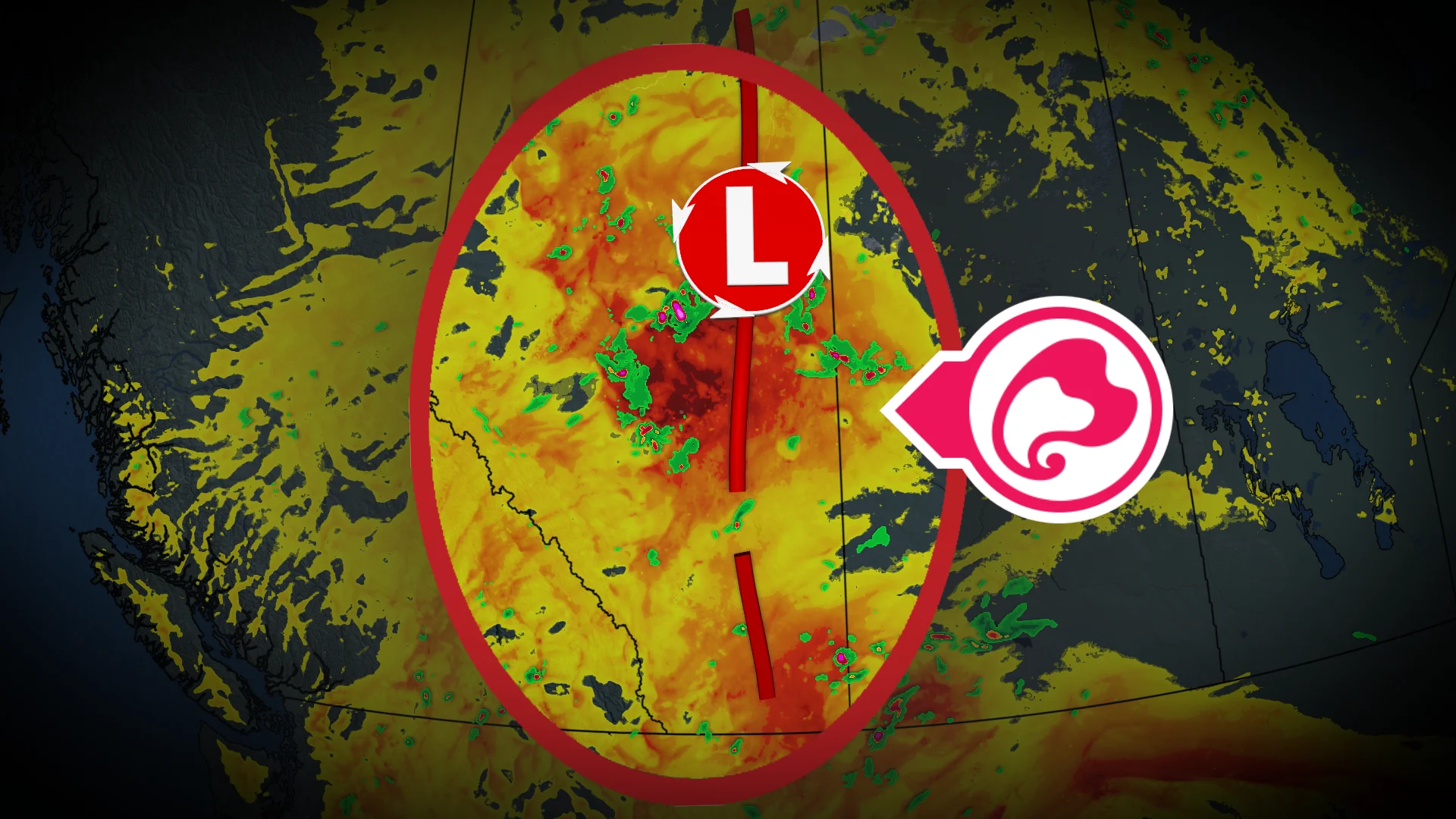
High thunderstorm energy with severe risks continue over Alberta

Alberta's forecast for Wednesday and Thursday includes a significant risk of thunderstorms, supercells, very large hail, and a potential for tornadoes, particularly in central regions
A prolonged severe weather event is forecast to affect Alberta. On Wednesday and Thursday, central regions face a heightened risk of thunderstorms, with potential development of supercells. These storms may bring very large hail and an elevated risk of tornadoes.
Residents across impacted regions should monitor alerts, and be prepared for the quickly changing and deteriorating conditions.
DON'T MISS: Tornado warning safety: Here’s what you should do
Wednesday: Widespread severe thunderstorms
A slow-moving low pressure system north of Edmonton on Wednesday, combined with a surface trough along the Alberta-Saskatchewan border, is expected to trigger several pockets of severe weather.
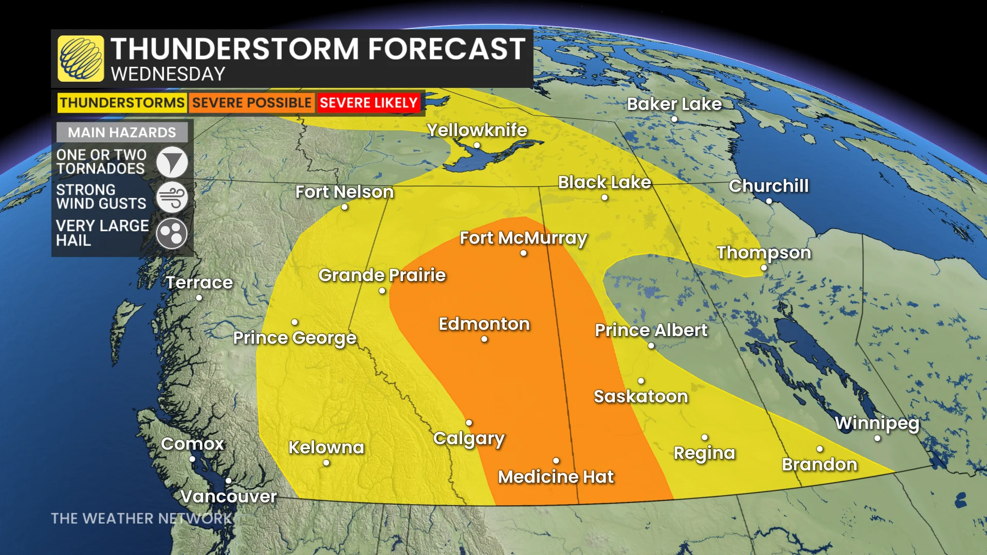
Southern Alberta faces widespread severe thunderstorms that will move east into Saskatchewan. Isolated thunderstorms are also expected in central and northern areas, including Edmonton and sections of the QE2 corridor.
Storm activity is forecast to peak by late afternoon and evening, with moderate CAPE values in the south and higher CAPE near Edmonton. Conditions are favourable for supercells, which may bring very large hail, potentially up to golf ball size, damaging winds, and a low tornado risk.
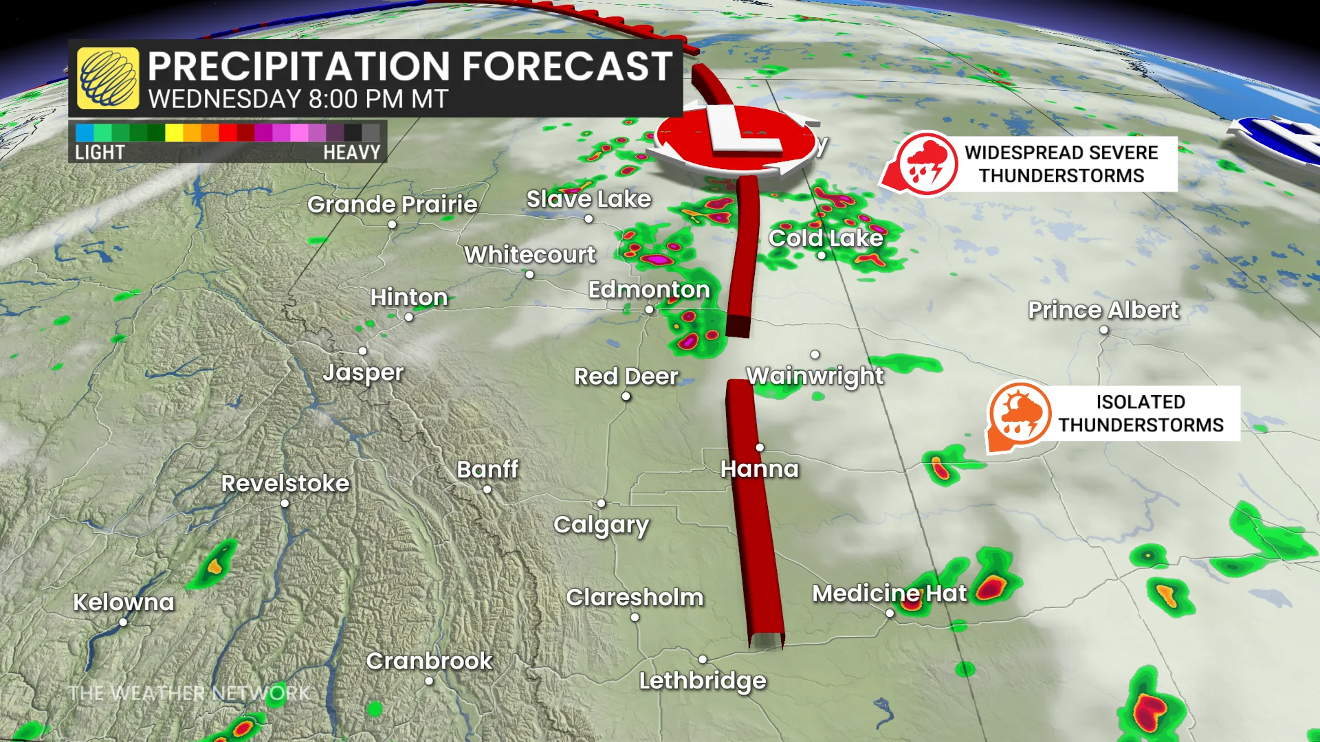
In southern Alberta, storms carry threats of large hail, strong winds, and heavy rainfall.
RELATED: Tornadoes in Alberta already up more than 50 per cent from last year
Thursday: Severe thunderstorm potential rises
Thunderstorm activity is expected to intensify Thursday as widespread storms develop under high CAPE conditions. A low pressure system positioned over northern Alberta and Saskatchewan, combined with a lingering surface trough along the Rockies, will fuel storm development.
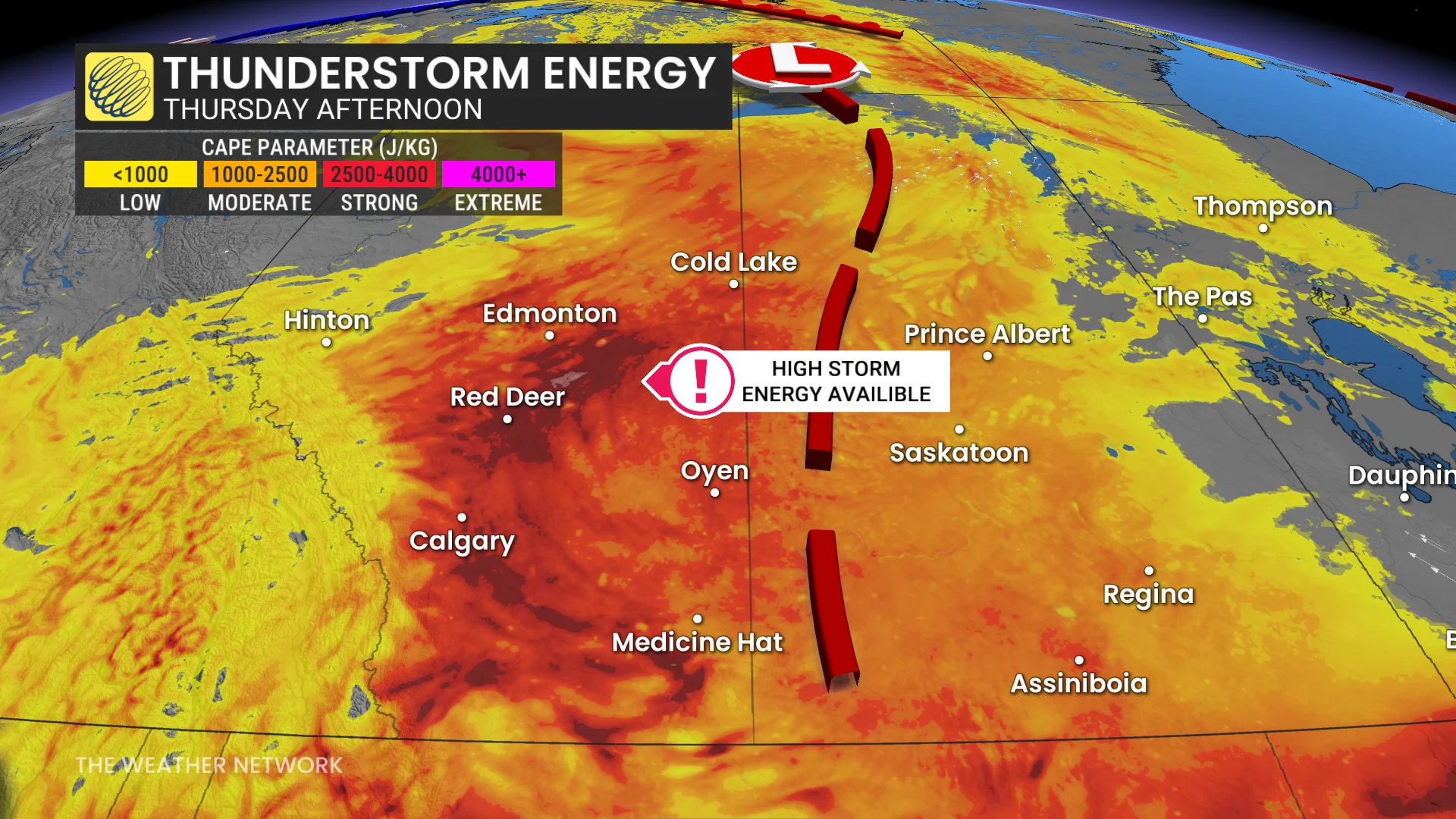
Severe thunderstorms are likely to stretch from the foothills to northern Saskatchewan. While storm intensity and exact locations remain uncertain, large hail, strong winds, and localized heavy rain are possible.
Residents are encouraged to monitor alerts and have safety plans in place for changing weather conditions.