High-impact winter storm set to bring ice, snow to southern Quebec
Prepare for dangerous travel conditions beginning Sunday and lasting into Monday across much of southern Quebec
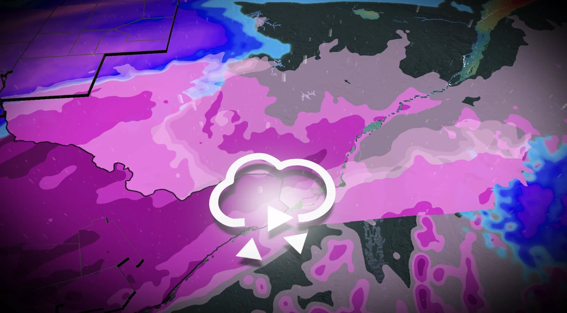
A powerful Colorado low will bring a dangerous spell of mixed precipitation to southern Quebec to end the weekend.
Freezing rain warnings blanket Metro Montreal, Monteregie, and the Eastern Townships where impactful ice accretions are in the forecast.
Prepare for likely travel delays and potential power outages as this system affects the region late Sunday into the day Monday. Be sure to stay up-to-date with the latest weather alerts, and check current highway conditions before heading out.
DON’T MISS: Freezing rain and ice pellets are dangerous winter hazards
Wintry precipitation arrives on Sunday
This major winter storm will begin pushing into Quebec on Sunday night with impacts lingering into Tuesday for some areas.

A warm front tracking into southern Quebec on Sunday night will produce several hours of a wintry mix, with a risk for freezing rain throughout the Montreal area.
Ice accretions of 5-10 mm are in the forecast before Montreal and the Eastern Townships change over to rain early Monday afternoon.
Meanwhile, heavy snow in Quebec City will begin mixing with ice pellets as the storm wears on.

Travel impacts are likely Sunday night into the Monday morning commute with ice-covered roads across the region. Isolated power outages are also possible.
Precipitation in Montreal will change back over to periods of locally heavy snow with gusty winds as the low-pressure system departs the region.
Stay with The Weather Network for the latest forecast conditions across Quebec.