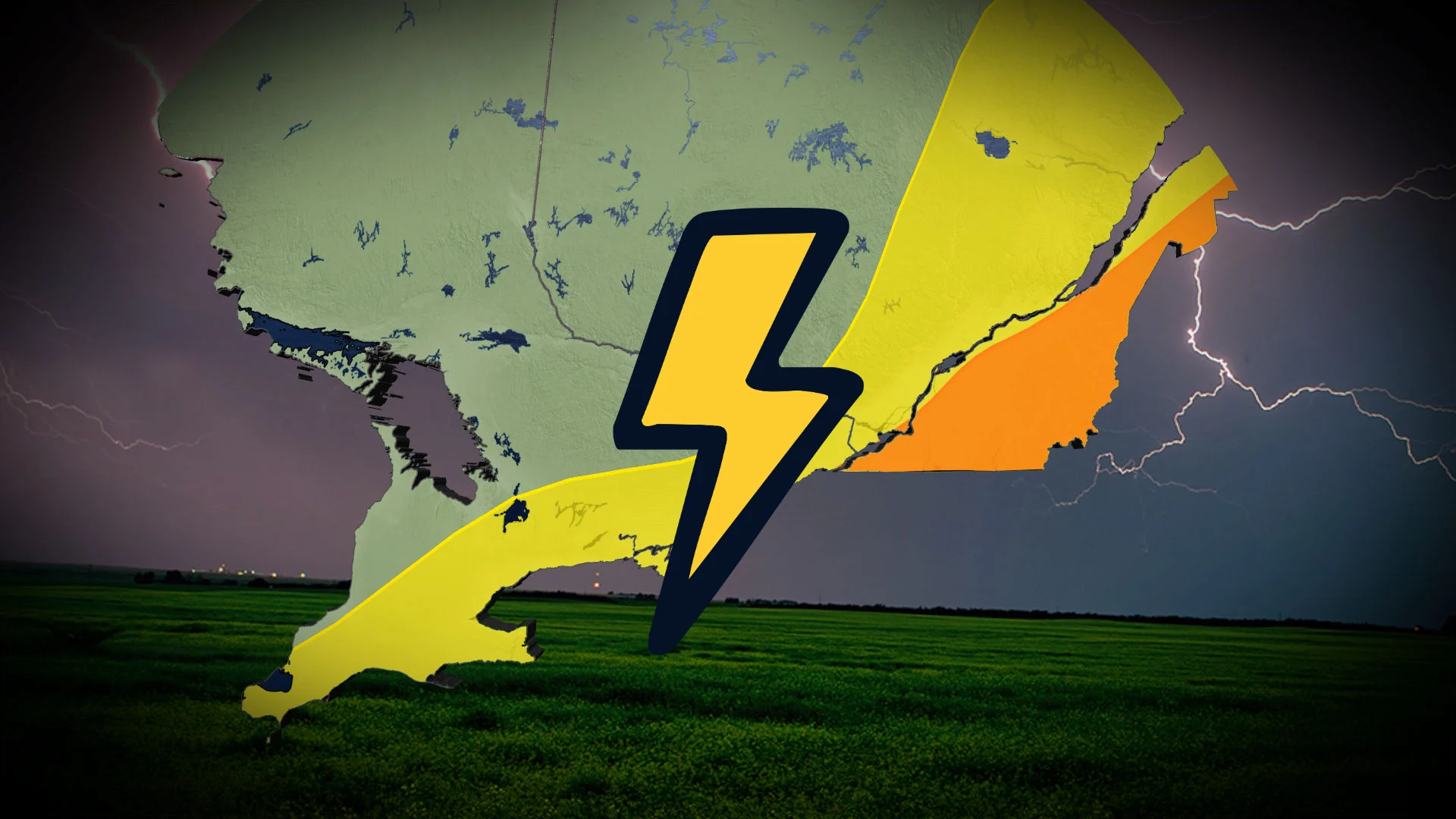
Heavy storms possible Sunday as summertime instability builds
Stay prepared to head indoors in a hurry as a risk for strong to severe thunderstorms brews across parts of Ontario and Quebec
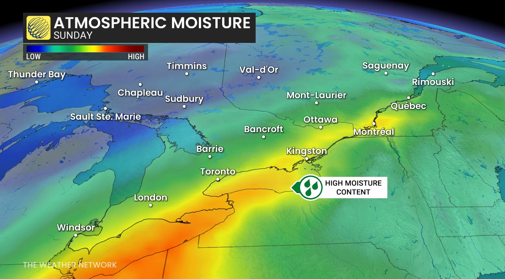
Sunday will feature a stormy summertime pattern across parts of Ontario and Quebec as instability and ample moisture stream over the region.
Heavy rainfall could lead to flooding in some areas. The strongest storms could produce high winds, large hail, and heavy rain. Rotation is also possible in spots.
DON'T MISS: The wait is over: El Niño is officially here and it may make history
A combination of rising instability and a rich reserve of moisture aloft will fuel a round of thunderstorms throughout portions of southern Ontario and southern Quebec on Sunday.
Downpours within showers and thunderstorms around Lake Erie and Lake Ontario could lead to fast-moving waterways and localized flooding across urban areas.
Up to 50 mm of rain is possible for regions that see intense, repeated downpours along the lakes and northeast of Lake Ontario. Conditions in the Greater Toronto Area are forecast to dry out after 4-5 p.m. on Sunday.
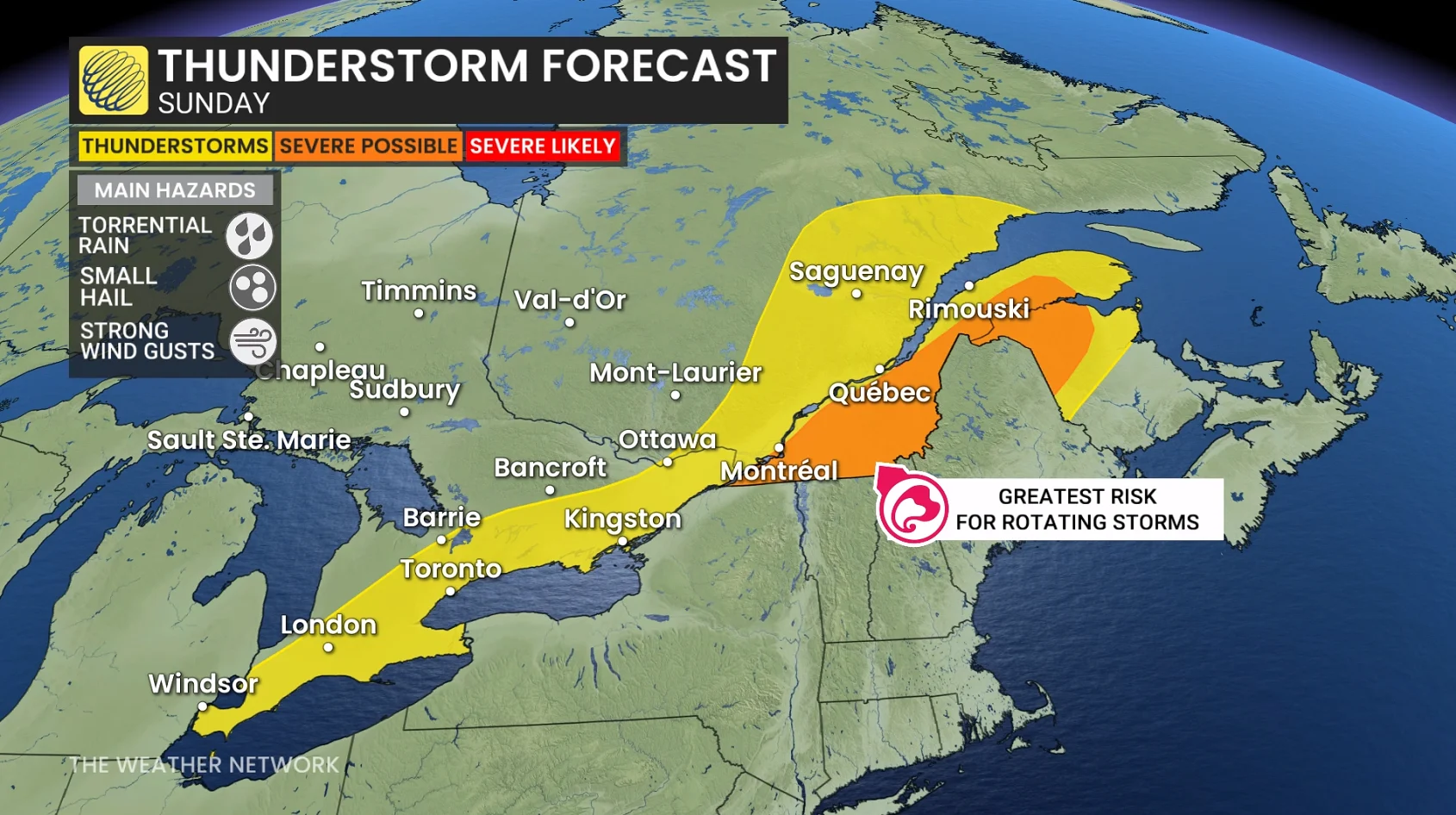
Farther northeast, the environment will become more favourable for rotating (supercell) thunderstorms east of Montreal. We’ll see this potential maximized through the mid-afternoon hours before storms become disorganized on Sunday evening.
The greatest risk in any severe storms across southern Quebec will be hail around 2 cm in diameter, along with torrential rainfall and strong wind gusts.
Stay with The Weather Network for all the latest on conditions across the region.