Heavy snow hits Atlantic Canada, risk for up to 40 cm
A potent winter storm threatens 20-40 cm of snow across Atlantic Canada, disrupting travel and schools
Spring has officially sprung, but a major winter storm is impacting Atlantic Canada early this week.
Two merging low-pressure systems are driving the snowfall, which arrived in the Maritimes on Sunday and is expected to spread to Newfoundland by Monday.
DON'T MISS: Weather lore: Does 'borrowing days' indicate a stormy end to March?
Totals of 10-40 cm are expected across Atlantic Canada, with parts of Newfoundland seeing the heaviest amounts. Expect hazardous travel as winds and snow will make for reduced visibility and slippery roads. The deteriorating conditions prompted school closures and early dismissals across parts of Nova Scotia on Monday.
Schools close, travel disruptions likely through Monday
Southern Nova Scotia will continue to see snowfall through Monday, with accumulations of 5 cm expected in the southwest, 5-10 cm near Halifax, and 5-15 cm in southeastern areas.

The northern Avalon and eastern Newfoundland should prepare for a significant snowfall event.
Flurries will begin late Monday evening in southeastern Newfoundland as a low pressure system moves northeast of Sable Island.
The associated warm front lifting across Newfoundland will bring intense snowfall, with rates of 3-5 cm per hour likely during the pre-dawn hours of Tuesday.

Impacts from this system are expected to be significant, with widespread school and business closures likely Tuesday morning.
RELATED: Some schools in N.S. closed, closing early due to heavy snowfall
WATCH: Snowplows are busy after March snowfall in Nova Scotia
Heavy snow and strong winds continue over Newfoundland Tuesday
Snow is expected to transition to a wintry mix across the Avalon and southern Newfoundland by Tuesday morning between 8 and 11 a.m.
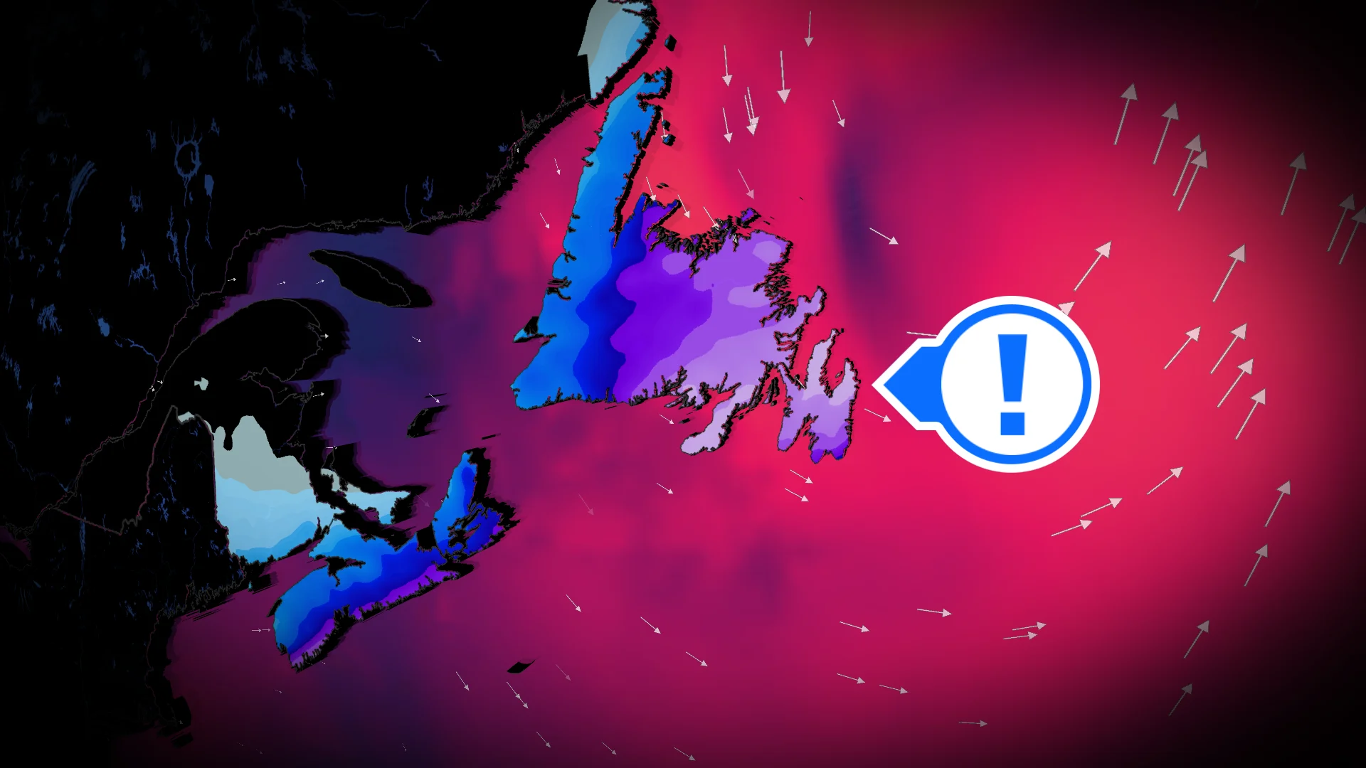
As the low pressure system deepens and moves northeast of Newfoundland on Tuesday afternoon, strong winds will raise concerns for blowing and drifting snow across the province.
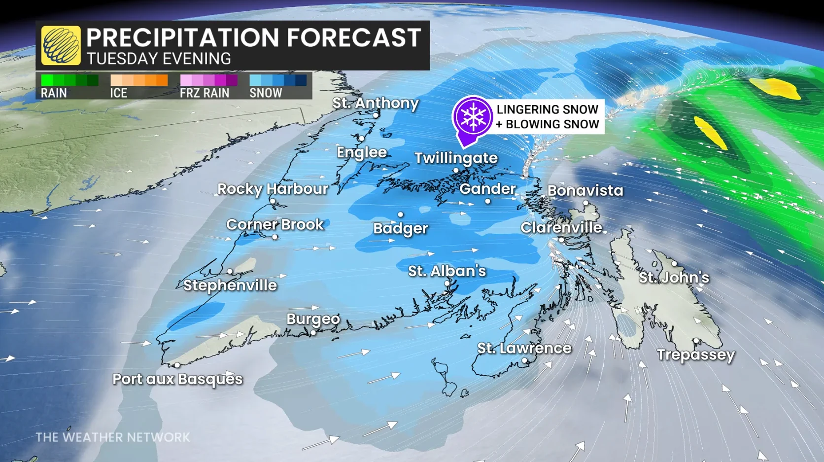
Most of the Avalon Peninsula could briefly switch to rain showers within the system's warm sector, while a wintry mix and snow persist across central and western Newfoundland. The low is forecast to deepen to 980 hPa as it moves across the province, triggering strong wind gusts.
Wind gusts are expected to reach 70-90+ km/h through Tuesday, with northern coastal areas of Newfoundland potentially experiencing gusts exceeding 100 km/h.

By Tuesday night, the precipitation is set to taper off as the low tracks north of the region.
RELATED: Thundersnow is a rare and electrifying experience
Beyond, there will be the chance of another high-impact and messy system late next week.