Ontario facing multi-day storm risk as intense heat moves in

The sizzling heat will spread across southern Ontario on Monday and will be accompanied by a widespread thunderstorm risk.
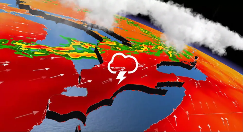
Scorching conditions will once again impact southern Ontario due to heat and humidity building in the region. The uncomfortable weather also comes with the risk of thunderstorms that could bring torrential downpours and small hail. The good news is that forecasters say the stifling conditions will dissipate by mid-week. Details and timing, below.
Visit our Complete Guide to Summer 2021 for an in-depth look at the Summer Forecast, tips to plan for it and much more!
MONDAY: HEAT, HUMIDITY RETURN BRIEFLY WITH STORM RISK
Heat will briefly build into the region on Monday with temperatures soaring into the upper 20s and into the mid-30s for some. The humidex will also be on the climb, sitting in the upper 30s for eastern Ontario and surpassing 40 throughout the Golden Horseshoe including areas south to Windsor.

Monday overnight won’t provide relief from the heat either with Toronto forecasted to feel like 30, which has prompted many heat warnings across southwestern Ontario.
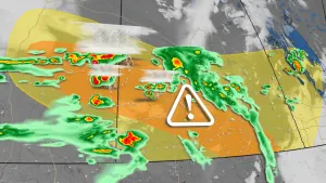
A cold front will continue to progress southeastward through Monday. Thunderstorm energy will be very high throughout the province, helping to fuel severe thunderstorms that will form later in the day for central Ontario, possibly reaching the northern GTA by the evening hours.

The areas at risk of seeing severe thunderstorms will be centred around northern Georgian Bay, including Sudbury, extending to eastern and southwestern areas. Northern sections from Timmins to Moosonee also have the potential to see severe weather. The main hazards will be heavy rain, strong wind gusts, and small hail.
Thanks to the front's failure to cross southern Ontario on Monday, a second day of humidex values pushing 40 and high thunderstorm energy will grace southern Ontario on Tuesday. Severe thunderstorms are possible through Windsor, London and Niagara Falls into Tuesday evening. As well, a second area of interest for Tuesday will be from Perth to Ottawa and then east into Cornwall.

LOOK AHEAD: MID-WEEK COOLDOWN, MORE UNSETTLED WEATHER POSSIBLE
After a cold front swings through Tuesday, temperatures will be considerably cooler for Wednesday and Thursday with highs only in the lower 20s.
Forecasters are also watching a system that is expected to track south of the region late week, but it could be close enough to bring unsettled weather. There is also the chance for temperatures to be even cooler if conditions remain cloudy.

Near seasonal or a few degrees below seasonal are expected as we head into and through next weekend.
Be sure to check for the latest updates on the weather in your area.