Humidity begins to wane in southern Ontario, though with lingering storm risk

The thunderstorm threat lingers across Ontario into Wednesday, as hot and steamy conditions hang on through mid-week.
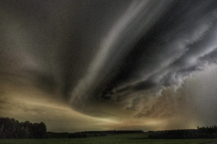
Tuesday's severe storm risk delivered in spaces across much of southern Ontario through the afternoon and evening hours. Storms featuring torrential downpours and strong winds rolled across the southwest and through the GTA, prompting severe thunderstorm and rainfall warnings. The unsettled pattern will continue into Wednesday before giving way to more comfortable conditions in time for the holiday weekend. The cooler than seasonal conditions will continue for the first few days of July. More on when the persistent heat returns, below.
Visit our Complete Guide to Summer 2021 for an in-depth look at the Summer Forecast, tips to plan for it and much more!
INTO CANADA DAY: SOME RELIEF FROM THE OPPRESSIVE HEAT
There is some relief in sight from the heat and humidity of recent days, but not before one more day of it Wednesday.
Daytime highs look to stay in the upper 20s across the board, feeling like 30 or hotter for locations. While not quite as intense as Tuesday, there'll be enough of the humidity left to fuel storm risk once again, though with reduced severe risk compared to Tuesday's cracklers. The day won't be a complete washout, though, with periods of sunshine expected as well.

SEE: B.C. sets new Canadian record for hottest temperature ever recorded
While the mugginess will begin to taper off later in the week, some unsettled weather could affect outdoor plans for Canada Day on Thursday.
"Scattered showers and thunderstorms are likely during the afternoon and into the evening, but most of the day will be dry and the threat for showers will diminish towards sunset," says Dr. Doug Gillham, a meteorologist at The Weather Network.

BEYOND: TEMPERATURES DIP BELOW SEASONAL
The first few days of July actually look to be a touch cooler than seasonal, with some shower risk here and there but otherwise largely dry.
"Still a tricky call for the weekend, with the potential for a system south of the border that could bring showers to southern parts of the region," Weather Network meteorologist Dr. Doug Gillham says.
Near seasonal temperatures beckon for next week, though forecasters are watching the potential for very warm weather to return for the second half of next week.
Be sure to check for the latest updates on the weather in your area.