Sub-zero freeze poses health risk on the Prairies, record in jeopardy

By the weekend, potentially dangerous cold will be locked tight on the Prairies, with many locales experiencing extremely cold temperatures in the -20s, possibly dropping as low as the -30s, with wind chills of -30 or -40.
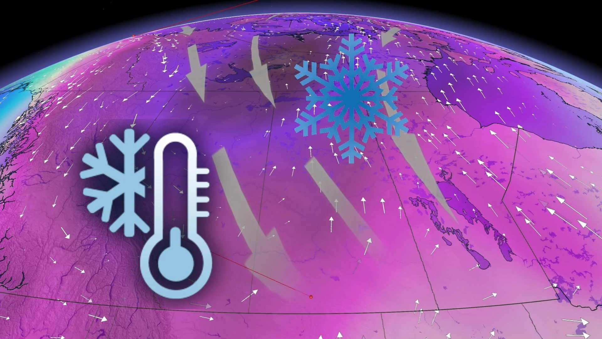
An extremely cold and potentially dangerous air mass from Siberia will descend on Western Canada this week, including the Prairies. Many locales will see daytime highs reaching the upper minus 20s, potentially hitting the -30s in a few spots. With the wind chill, it will feel like -30 or -40 on the weekend. Christmas Day has the potential to be record-breaking for Edmonton, Alta., which may feature the coldest air on Dec. 25 in 50 years. Overnight lows will be even colder, reaching or surpassing -30°C. Meanwhile, the region will see quick bursts of snow this week, with some locales potentially seeing 5-10+ cm through Thursday. More on the timing, below.
Visit our Complete Guide to Winter 2022 for an in-depth look at the Winter Forecast, tips to plan for it, and much more!
WEDNESDAY/THURSDAY: SHOTS OF SNOW, TEMPERATURES REMAIN FRIGID
A couple of systems will parade through the Prairies this week, coating the region with dustings of snowfall. A warm front will continue to track eastward across the Prairies Wednesday.
Snow will stretch from Hinton to Edmonton, stretching along the northern foothills, as well. There is 10-15 cm of snow forecast for the aforementioned regions through Thursday and higher totals are possible in Jasper and the Rocky Mountains. Calgary will also see some snow, with 5-10 cm possible.

Snowfall from the front will then push into southern Saskatchewan in the afternoon Wednesday, with heavier amounts for Saskatoon and Regina in the evening, roughly 5-10 cm. This swath will then push into Brandon and Winnipeg, bringing in accumulations of 5-10 cm.
DON'T MISS: Five terrible things extreme cold does to the human body
Meanwhile, Alberta and Saskatchewan will see a second round of light snow on the backside of the low on Thursday afternoon. It will bring a coating of ~10 cm, primarily north of the Yellowhead Highway.

Temperature-wise, severe cold will dominate the Prairies for the rest of December, especially around and during Christmas.
LOOK AHEAD: POTENTIAL FOR RECORD-BREAKING CHRISTMAS COLD
Hazardous cold with a dangerous wind chill will plunge south and east across the Prairies behind the system. The air mass could potentially bring the coldest Dec. 25 on record for a few places including Edmonton as cross-polar flow delivers dangerous cold weather directly from Siberia.

Many regions will have temperatures into the mid- and upper -20s, and wind chills of -30 or -40 on the weekend. Overnight lows will be even chillier, potentially reaching or exceeding the -30s.
In fact, there is the potential for a record-breaking Christmas Day chill for parts of the Prairies, possibly featuring the coldest air on Dec. 25 in 50 years. The City of Edmonton's current forecast is for -27°C, close to the current record of -28.9°C in 1917.

Edmonton airport, also with a forecast daytime high of -27°C, may top its previous record, as well, which dipped down to -27.8° in 1971.
It's important to be mindful of signs of frostbite and limit time spent outdoors during this time. Extreme cold puts everyone at risk, so be sure to take the plummeting temperatures seriously.
Check back as we continue to monitor this frigid Prairie forecast.


