Greater Toronto Area braces for a snowy Friday commute
Lake enhancement could beef up snowfall totals across parts of the western Greater Toronto Area through Friday
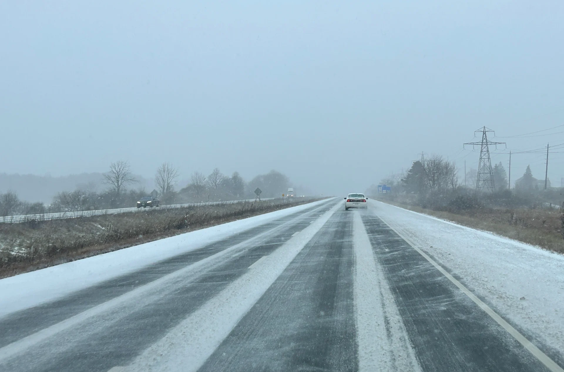
Commuters should brace for slick roads and slow commutes through Friday morning as a wintry system skirts through the region.
A widespread 2-5+ cm is possible through Friday, with some higher amounts likely for the western Greater Toronto Area (GTA) due to some lake enhancement.
DON'T MISS: Toronto’s frigid weekend could score a surprisingly rare feat
Immediately following this system arrives a noticeable temperature drop into the negative digits. This frigid air will bring the coldest air of the season.
Through Friday: Snow before much-colder temperatures arrive
A clipper from the Prairies moving into the southern Great Lakes will result in an all-snow event across southern Ontario through Friday.

A widespread 2-5 cm of snow is expected, but parts of the GTA could see some higher totals with help from Lake Ontario.
The system will track south of Ontario, forcing an easterly wind off Lake Ontario. This setup could bring a stronger band of snowfall to places like Burlington, and to the west end of the GTA, where locally over 5 cm may fall.

This blast of snow could affect Friday travel along major routes including the QEW, Don Valley Parkway (DVP), and the Gardiner Expressway, so make sure you brace for slower commute times.
Coldest weather of the year follows the snow
This weekend will bring our coldest weather of the season thus far as Arctic air is forced eastward. Saturday and Sunday wind chills will be in the negative teens in the GTA, and down to the -20s in cottage country.
SEE ALSO: Canada’s magic number: What exactly makes for a 'white Christmas'?
Next week will feature quite a warming trend.

Rain or snow for Christmas?
We are closely watching a relatively weak system and warm front, which is expected to impact the region during Christmas Eve and possibly into Christmas Day. This will not be a major storm, but the timing relative to Christmas makes this a more interesting story.
This could bring us a coating, perhaps a few centimetres, of wet snow, but there is also a significant risk for a changeover to rain as temperatures rise above freezing, especially for more southern areas.
Mild temperatures will dominate the final week of December with the potential for a couple of low-pressure systems that will bring rain, or possibly a messy mix of precipitation. However, winter is not over. A colder pattern is expected to develop during the first week of January and dominate through the middle of the month.
WATCH BELOW: Toronto Airport breaks an all-time precipitation record
Be sure to check back for all the latest on conditions across Ontario.