Get ready for a slick Sunday across southern Quebec, Montreal
Quebec may be missing the worst of the spring storm in Ontario over the weekend, but that's set to change on Sunday when Montreal gets an icy taste.
While Ontario battles a raging spring storm that is dumping up to 50 cm of snow across the north and dense ice to the east, just a couple hundred kilometres northeast in Montreal, all has been eerily quiet.
Southern Quebec has been sitting on the northern edge of the system, so far missing the worst of what the storm has to offer.
Visit our Complete Guide to Spring 2025 for an in-depth look at the Spring Forecast, tips to plan for it and much more!
However, during the pre-dawn hours on Sunday, we are going to see the icy boundary over Ontario lift northward, pushing the messy mix of precipitation into Montreal and the rest of southern Quebec.
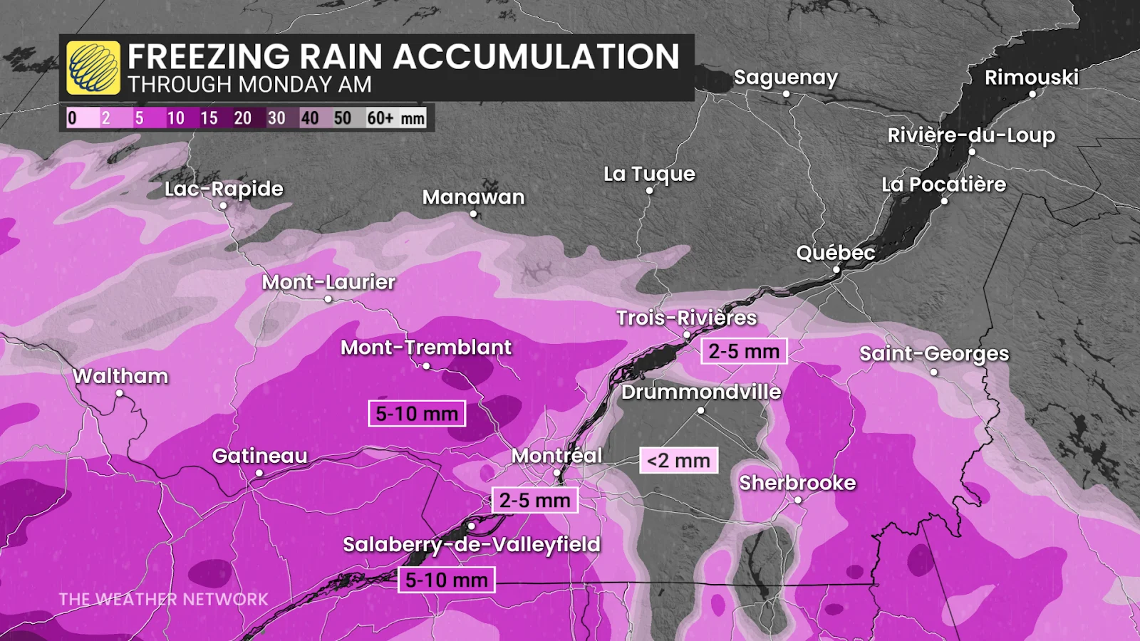
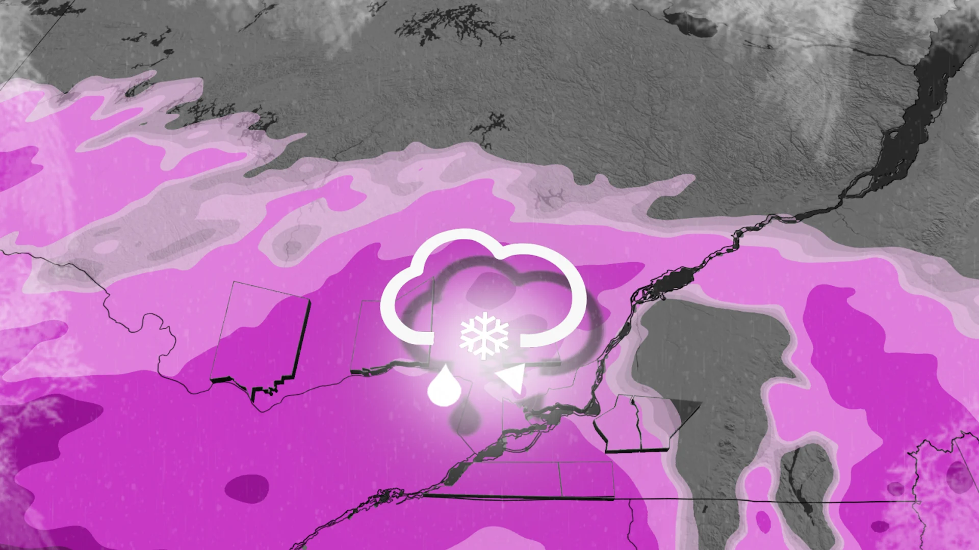
Ice pellets and freezing rain will move into the Montreal region early Sunday morning, giving outdoor surfaces an icy shell to start the day. Luckily this will be the worst of it for Montreal as temperatures warm up throughout the morning and afternoon. We will see the icy precipitation transition into rain in the afternoon, although the freezing rain may persist around Gatineau through the afternoon hours.
SEE ALSO: From drips to disasters: How to flood-proof your home
As the system continues to push north, we will see some light snow falling around Trois Rivieres and Quebec City. We're looking at a hefty 10-15 cm of snow around the provincial capital and even higher amounts just north of the city.

Be cautious of slippery roads when heading out on Sunday, and be sure to check local weather alerts and highway conditions. Ice buildup on trees and power lines could also lead to localized power outages in the region.