From summer heat to sweater weather: Ontario sees a plummet back to spring
Get out the sweaters, pants and jackets, southern Ontario, as a sharp cooldown arrives by Wednesday morning, sending temperatures into the low double digits and even single digits for some areas
After a flirt with summer heat and humidity, and severe, damaging thunderstorms, southern Ontario will be taking a step back into spring with a drastic cooldown for Wednesday.
RELATED: PHOTO: Powerful, tornado-warned thunderstorms charge through Ontario
By the time folks wake up Wednesday, temperatures will be more reflective of early May for places such as Toronto, and more like mid-April for locales such as Barrie.
The cooler air will be accompanied by gusty winds and a very different feel than the summer-like warmth experienced earlier this week.
Dramatic cooldown follows the front and storms in Ontario
A sharp cold front will move through Tuesday evening, and as a result, send temperatures plummeting with the winds shifting to the northwest.
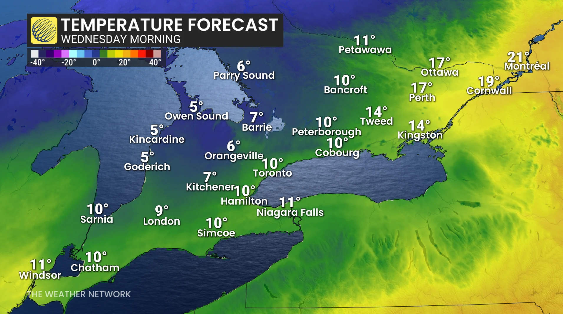
The warm, humid air mass will be replaced overnight with temperatures returning to the single digits in some locals.
The wedge of warmer air ahead of the cold front will be across extreme eastern Ontario, and Quebec.
Some communities may experience temperature drops of more than 20 degrees in less than a day.
Barrie is forecast to fall from around 28°C Tuesday afternoon to near 6°C by early Wednesday, while London could drop from near 30°C to roughly 7°C overnight.
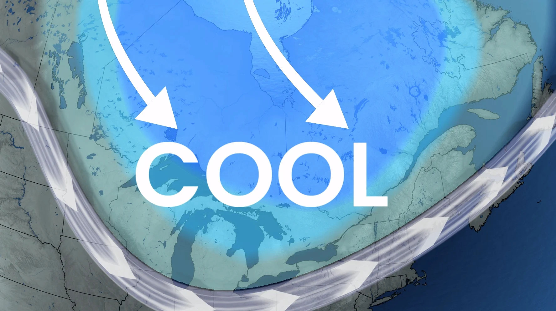
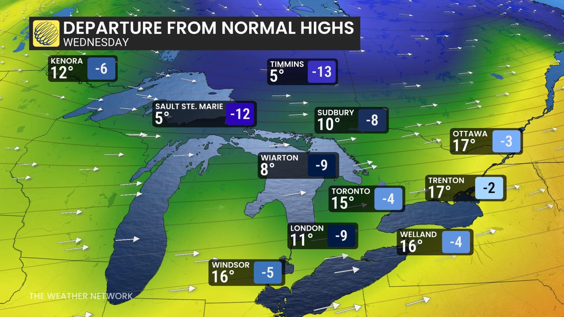
For now, the pattern continues to hold on as an upper-level trough will continue to keep our temperatures below normal.
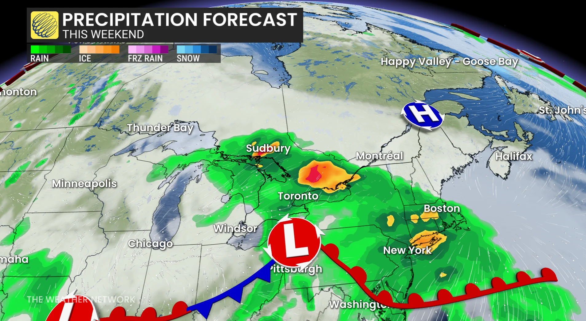
Temperatures of five to 10 degrees below seasonal will be the trend until this weekend as unsettled weather makes a return.
Stay with The Weather Network for the latest across Ontario