From late spring to late winter: Alberta sees season rewind with snow return
Snow and colder temperatures return to southern Alberta this week after some of its warmest readings of 2025 so far
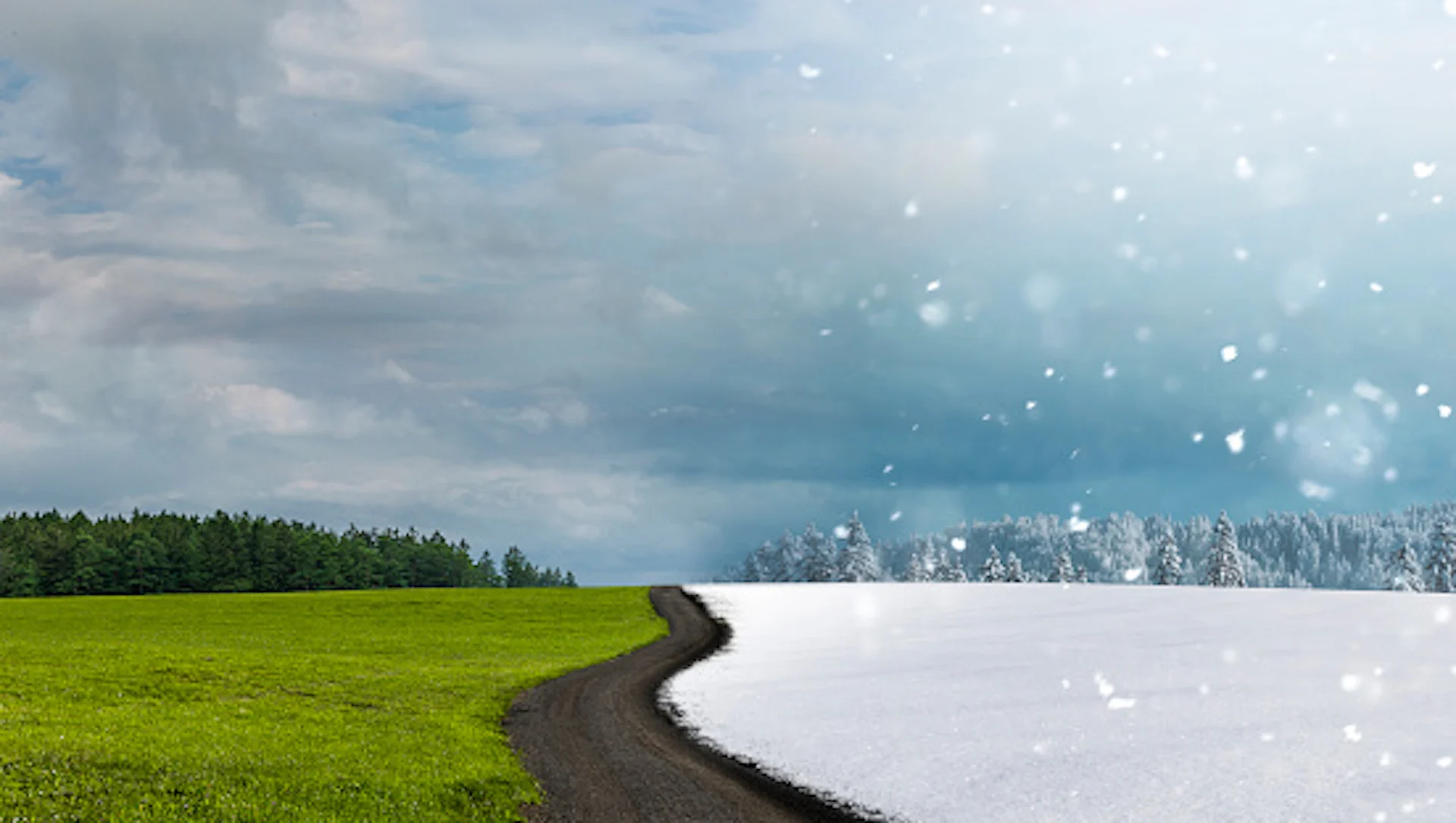
It was nice while it lasted, Alberta, but all good things must come to an end, especially when we're about to enter a season of transition.
Lethbridge, Alta., recently saw its warmest day of the year so far on March 1 when the thermometer reportedly reached 18°C–– a value we wouldn't normally see until mid- or late spring. The temperature is the highest Canada has seen so far in 2025. That was all thanks to an influx of warm Pacific air that pushed in over the Rockies.
MARCH 2025 OUTLOOK: Canada to see March madness as winter transitions to spring

But now, we get back to reality in the Western Canadian province as Alberta returns to near-seasonal temperatures and its first chance of snowfall in weeks. While no excessive amounts are expected, the snow might come as a bit of shock to drivers on the roads after the recent warmth, so be mindful when travelling.
As well, western Alberta's backcountry is currently under a special avalanche warning as dangerous conditions are possible through to Monday, March 3, 2025. A snow slab 30-100 cm thick is sitting on weak snowpack layers, elevating the avalanche risk, Avalanche Canada said on social media.
From remarkable warmth to snow: Alberta falls back to reality this week
Alberta bids adieu to the above-seasonal temperatures in the teens as they make their way out, and get replaced to more reflective values for this time of the year.

A cold front moving through the Prairies will send Alberta back to near-normal temperatures, which may be a bit of a shock to the system for some folks, and bring the chance for snowfall.
As for how far temperatures will drop? Well, you will be needing more than just a T-shirt and you can put the shorts away. Expect 0°C to 2°C daytime highs by Monday across the province.
That is a considerable plummet from the reported 18°C in Lethbridge Saturday, the warmest reading documented this year in Canada so far.

SEE ALSO: Warmth meets big air as Team Canada Olympic hopefuls compete in Calgary
With the much-cooler temperatures comes the snow chance. A burst of the white stuff is forecast along the northern foothills Sunday night, spreading south by Monday morning.
Some impacts could be felt along Highway 22 and QE2 on Monday, but expect slower commutes at the very least due to the slippery roads.
Snowfall accumulation will range by location, with higher amounts expected closest to the Rockies and about 3 cm from Red Deer and Calgary to areas west.

However, totals are uncertain right now given how warm the ground has been as snow may initially melt on contact, leading to lower totals. This could be Calgary's first snowfall that exceeds 1 cm since Feb. 14.
The snow lingers through Monday before quickly clearing Tuesday as high pressure moves in. But, don't expect a return to those double-digit temperatures just yet.
Mid-March temperatures will trend closer to seasonal, even possibly colder than seasonal at times, especially for western areas of the Prairies. No major storms are expected during the early part of March, but the pattern should become more active heading into the middle of the month.
Thumbnail courtesy of Getty Images/by-studio/1742461562-170667a.
Stay with The Weather Network for more forecast information and updates on your weather across Alberta.