Flooding threat as Saturday storm risk rebuilds in Alberta

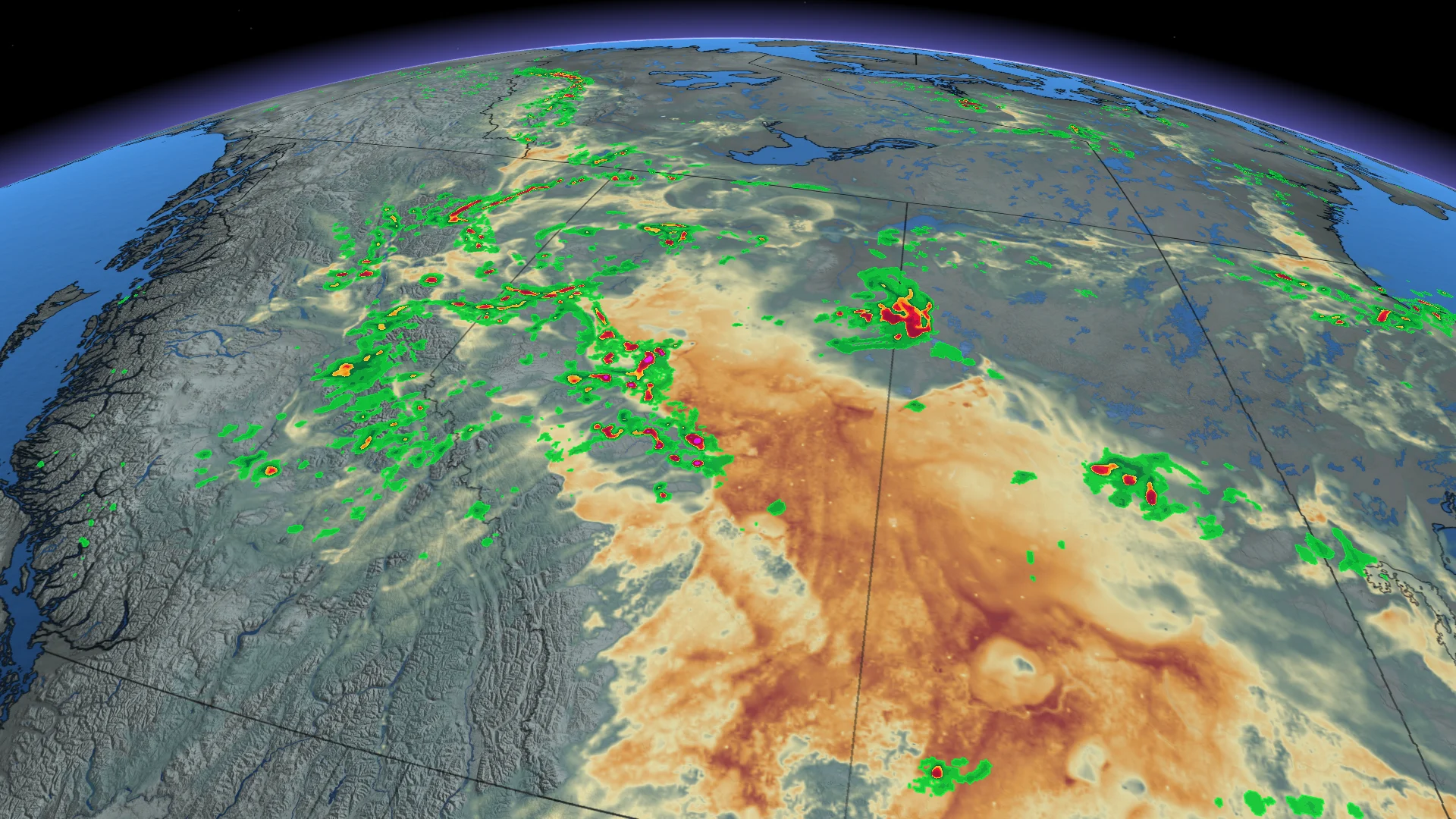
Plenty of instability should fuel another batch of strong to severe thunderstorms across Alberta to kick off the weekend
A busy week on the western Prairies rolls into the weekend as another risk for severe thunderstorms develops across portions of Alberta into the day Saturday.
Some of the storms will be slow-movers, increasing the potential for localized flooding.
DON’T MISS: How to decipher ECCC’s new colour-coded weather alerts
Saturday storm risk develops in Alberta
Plenty of instability will build across the province heading into the start of our weekend.
The focus for the strongest storms will exist north of the Yellowhead during the afternoon and evening hours, though storms off the northern foothills could still impact Edmonton by the evening.
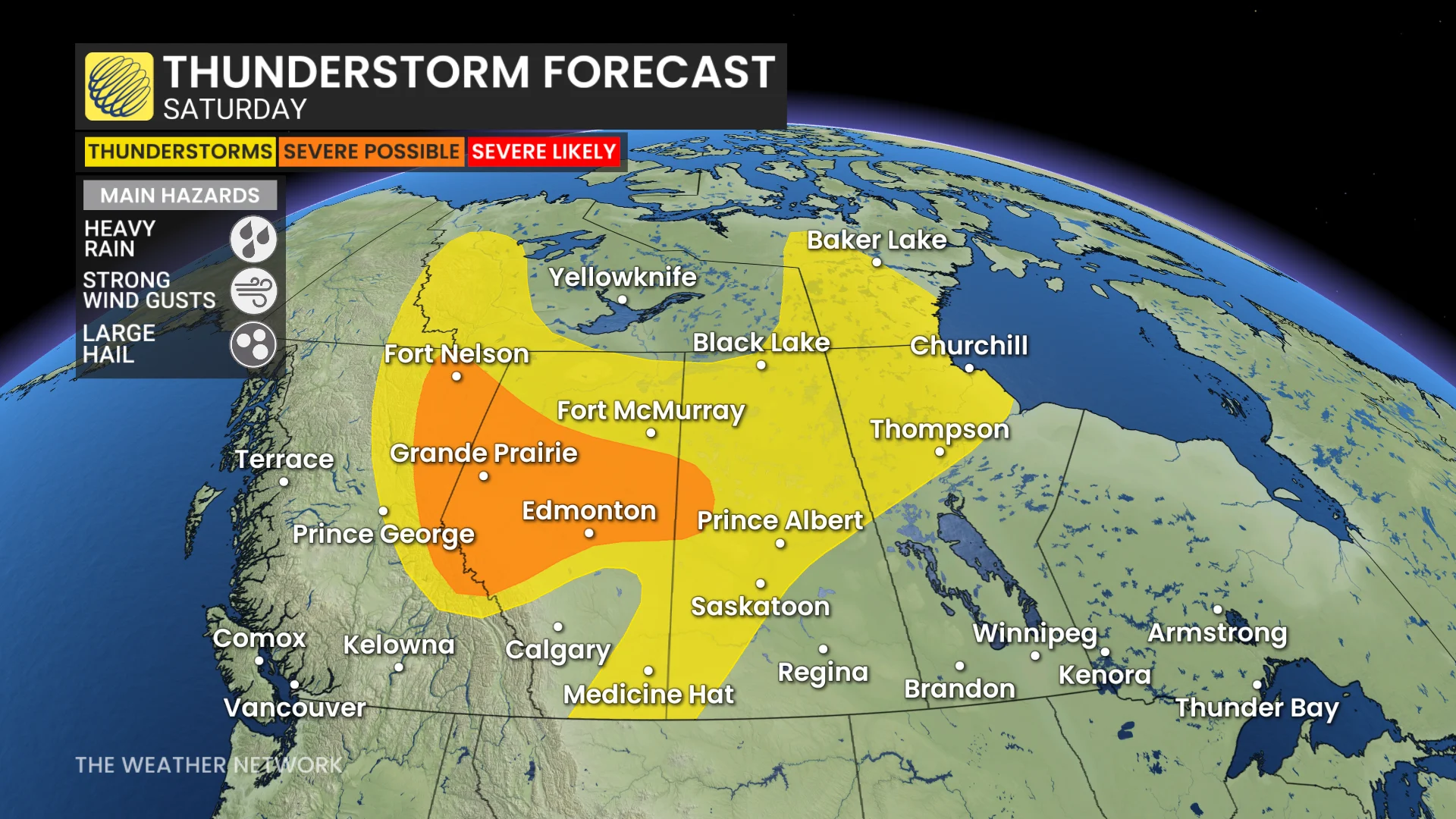
Clusters of storms east of the low-pressure system will bring the risk for strong wind gusts to northeastern Alberta and northern Saskatchewan.
Additionally, slow-moving storms in northwestern Alberta and northeastern British Columbia will carry the potential for localized flooding. Remember, never try to drive across a flooded roadway. It’s impossible to tell how deep the water is until it’s too late.
Stay with The Weather Network for all the latest on conditions across Alberta.