Soaking rains and Ontario storm risk but a cooldown and snow threat follows
Multiple periods of rainfall will make for a wet part of the week for southern and eastern Ontario, followed by a cooldown that will even bring snow chances into parts of the province.
It's been a roller-coaster of a spring across Ontario. The ride isn't done just yet, either.
We're watching rainy systems move across northern and southern Ontario early in the week. Folks across the province may also see a few dreaded snowflakes fall from the sky behind each system.
SEE ALSO: After Alberta's April snowstorm, can we say goodbye to snow in May?
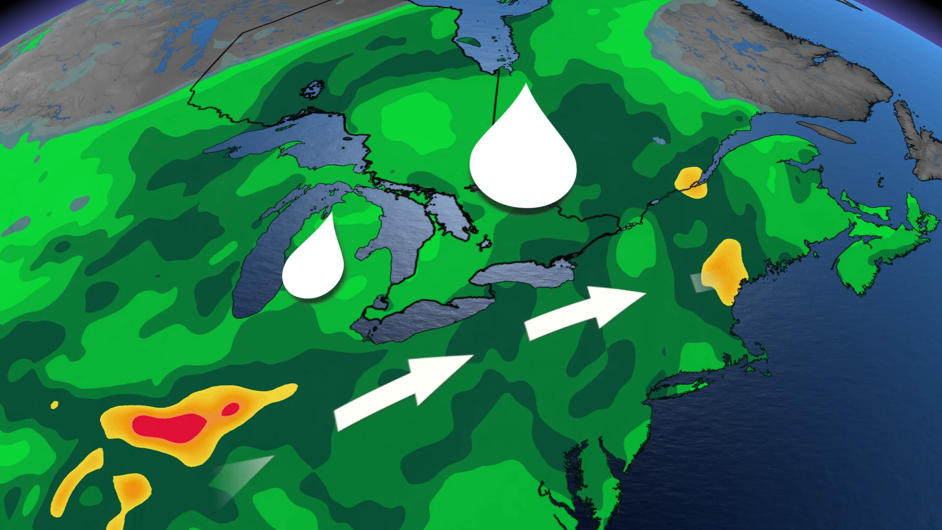
Stay alert for any localized flooding or flood alerts as the widespread rains trek across the province this week.
Weather highlights:
Parts of southern Ontario could see some thunderstorms embedded in the rain early Tuesday morning
Winds pick up early Tuesday, with 50-70+ km/h wind gusts
Eastern Ontario could see 30-50+ mm rainfall from Wednesday evening to Thursday morning
Cooler temperatures move in mid-to-late week
Tuesday: Rain, thunder, and gusty winds spread southeast
With the snowpack finally melting across northern Ontario, many communities are seeing an increased flood risk. Much of northeastern and eastern Ontario remains under widespread flood warnings, while the Thunder Bay and Wawa-Sault Ste. Marie areas around Lake Superior are under flood watches.

In northern Ontario, ongoing rainfall, heavy at times, will continue through Tuesday morning. Rain and snow will then push towards northeastern sections by the afternoon. Totals of with 10-20+ mm are expected.
Travellers should keep an eye out for any new flood alerts or highway/road closures, as much of the region is under a flood warning due to the spring snowmelt.
The rains will also make their way into southern Ontario early Tuesday morning, along with some scattered thunderstorms embedded in the rain. Locally heavy rain at times is possible.

DON'T MISS: Dramatic spring pattern split spawns fires and floods
The rain will taper off into scattered showers through the morning, and we'll see the rainfall risk become isolated to the Greater Toronto Area (GTA) by the afternoon as the system's front moves into eastern Ontario.
Winds are also forecast to pick up during the pre-dawn hours on Tuesday, with gusts between 50-70+ km/h, and stick around throughout the morning and early afternoon.

Temperatures are at least forecast to stay fairly mild, but that will come to an end on Wednesday as below-seasonal air moves in behind the system.
Wednesday: Up to 50+ mm rain for parts of Ontario, with snow risk creeping in for some
A second low will follow on Wednesday, tracking south of Lake Erie and Lake Ontario.

Showers begin for the Lake Erie shores, the Golden Horseshoe, GTA and Niagara region Wednesday morning. Rain will spread east through the day.
The system intensifies Wednesday evening as rain moves across Kingston and Ottawa. There will be more atmospheric moisture available, leading to a heavy rain threat across eastern Ontario.
Totals of 30-50+ mm are possible in eastern Ontario by Thursday morning.

Even cooler air will wrap in behind this second system, raising the chances of seeing some snow across cottage country, as well as eastern Ontario and maybe parts of southern Ontario.
Stay with The Weather Network for more information and updates on your forecast across Ontario.