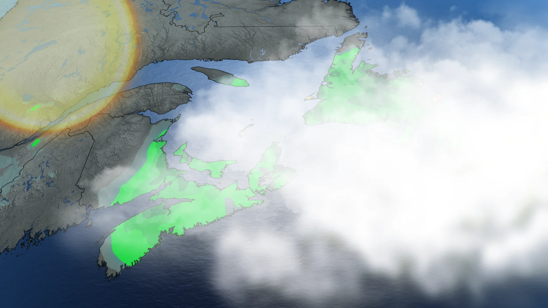
Rain eases across Atlantic Canada after soggy weekend

Flooding and road damage remain concerns as conditions gradually improve
A moisture-laden storm moseying through Atlantic Canada will linger into our Labour Day on Monday, though skies will begin to clear across areas that could use the sunshine.
High rivers and saturated ground will make additional road damage a continuing concern for the next few days.
Our centre of low pressure will pass by Newfoundland through the day Monday, sparking some scattered showers and thunderstorms across the island.
The storm gradually pulling away from the region is good news for rain-soaked communities in the Maritimes.
CHECK OUT: How the weather could be influencing your music taste
Parts of Nova Scotia saw more than 200 mm of rainfall through this weekend, leading to flooding and road washouts across Cape Breton. Power has been restored to virtually all of the 38,000 customers who lost electricity on Saturday.
A state of emergency has been declared in parts of Cape Breton as residents continue to deal with flooding and storm damage.
Isolated showers will linger over parts of Prince Edward Island and Cape Breton, though certainly not to the extent we’ve seen in recent days.
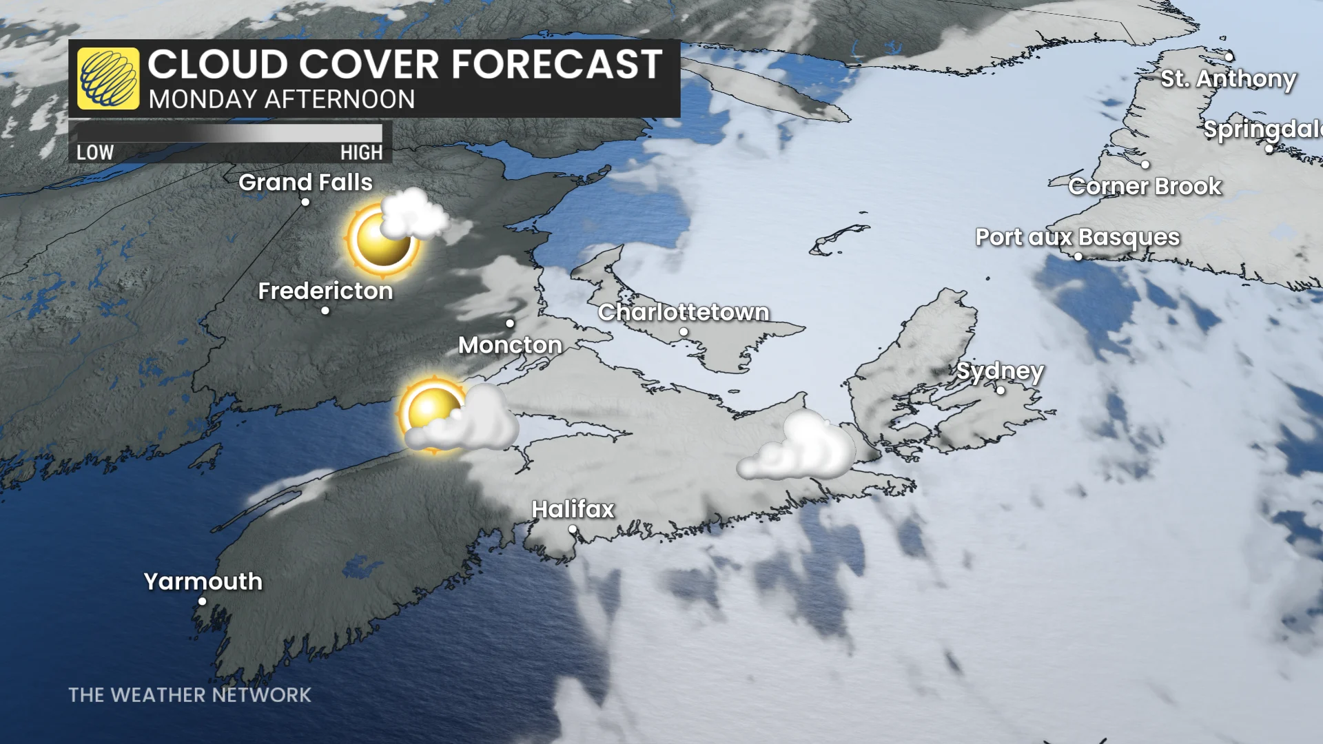
New Brunswick will enjoy a good amount of sunshine on Monday, though P.E.I. and Nova Scotia will have to wait the majority of the day for breaks in the clouds.
Bouts of sunshine won’t last long. Clouds will return on Tuesday with a cold front as it moves from north to south through the day.
Stay with The Weather Network for all the latest on conditions across Atlantic Canada.