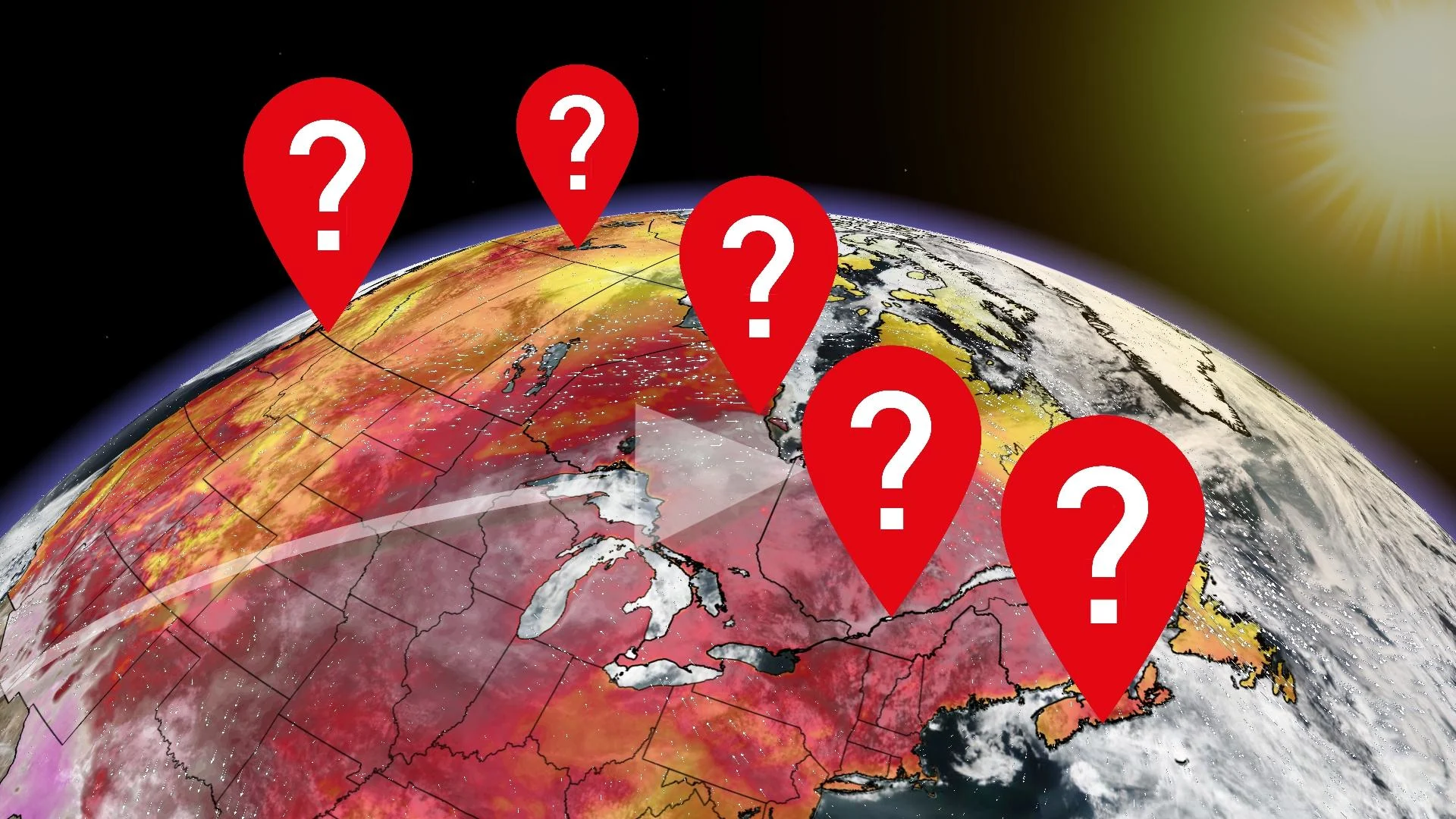
Find out what Canadian region heats up warmer than the tropics
A ridge of high pressure continues to build, and it’ll work to pump in exceptionally mild air from as far south as Mexico
A highly unusual Canadian hot spot will be crowned this week, potentially even for multiple days. The temperature trend across Canada will be particularly unusual.
A ridge of high pressure continues to build across northeastern Ontario, and it’ll work to pump in exceptionally mild air from as far south as Mexico.
This heat wave in Northern Ontario is due to a very bizarre high-pressure system that has settled in, trapping warm air and preventing the cooler air from moving in. How unusual are the temperatures?
The temperatures forecast along the shores of Hudson and James Bay are forecast to be over 15 degrees above normal for this time of year, with a couple of stations closer to 20 degrees above the average daytime high.

Locations that could exceed 30 degrees Celsius include Peawanuck, Attawapiskat, Fort Severn, and Moosonee.
Has this happened before?
Yes, and in fact, recently in June 2020.
We may be even a degree or two warmer than these values recorded just three years ago. It’s still unlikely to reach all-time temperature records, which sit at 38.1°C for Peawanuck back on June 29th, 2002.
ALSO READ: Upside-down weather pattern shifts Canada's hot spot to Northern Ontario

While northern Ontario is not typically considered a tropical destination, the water temperatures certainly aren’t very tropical. Recent data highlights that water temperatures are just a few degrees above freezing, so severe hypothermia would be likely within just several minutes of exposure.
An upper trough is further south, so temperatures across southern Ontario and the eastern U.S. are cooler in comparison.
If you fly down to Florida, Cuba, or even Jamaica — it’ll still be warmer along the shores of Hudson Bay this week.
