Quick return of wintry weather looms over southern Ontario's warmth
Southern and eastern Ontario will enjoy another day of mild temperatures Tuesday before the return of some snow and other wintry weather through the midweek
The first noticeable snowmelt in southern and eastern Ontario this winter kick-started this week, accompanied by gusty, southerly winds that helped the mercury soar to above the freezing mark.
Monday brought temperatures above 5°C for the first time this year at Toronto's Pearson airport, the second-latest occurrence of the initial 5-degree day on record, but tying 1977 and 1958. The latest was on March 14, 1978. Hamilton, Ont., also reached 9.4°C, making it the warmest temperature Ontario has seen so far this year.
DON'T MISS: As tall as a giraffe: Snow total nears record levels in Canadian city

The mild weather will continue Tuesday, but it won't be an entirely pleasant day to be outside. With the mercury sitting above zero again, there will be a chance of showers in the Greater Toronto Area (GTA) and other areas in the southern Ontario. With the rise in temperatures, the concern over flooding in some locales increases with the snowmelt.
However, snowfall will return to the region by Wednesday, with eyes on the next system to bring a coating of the white stuff.
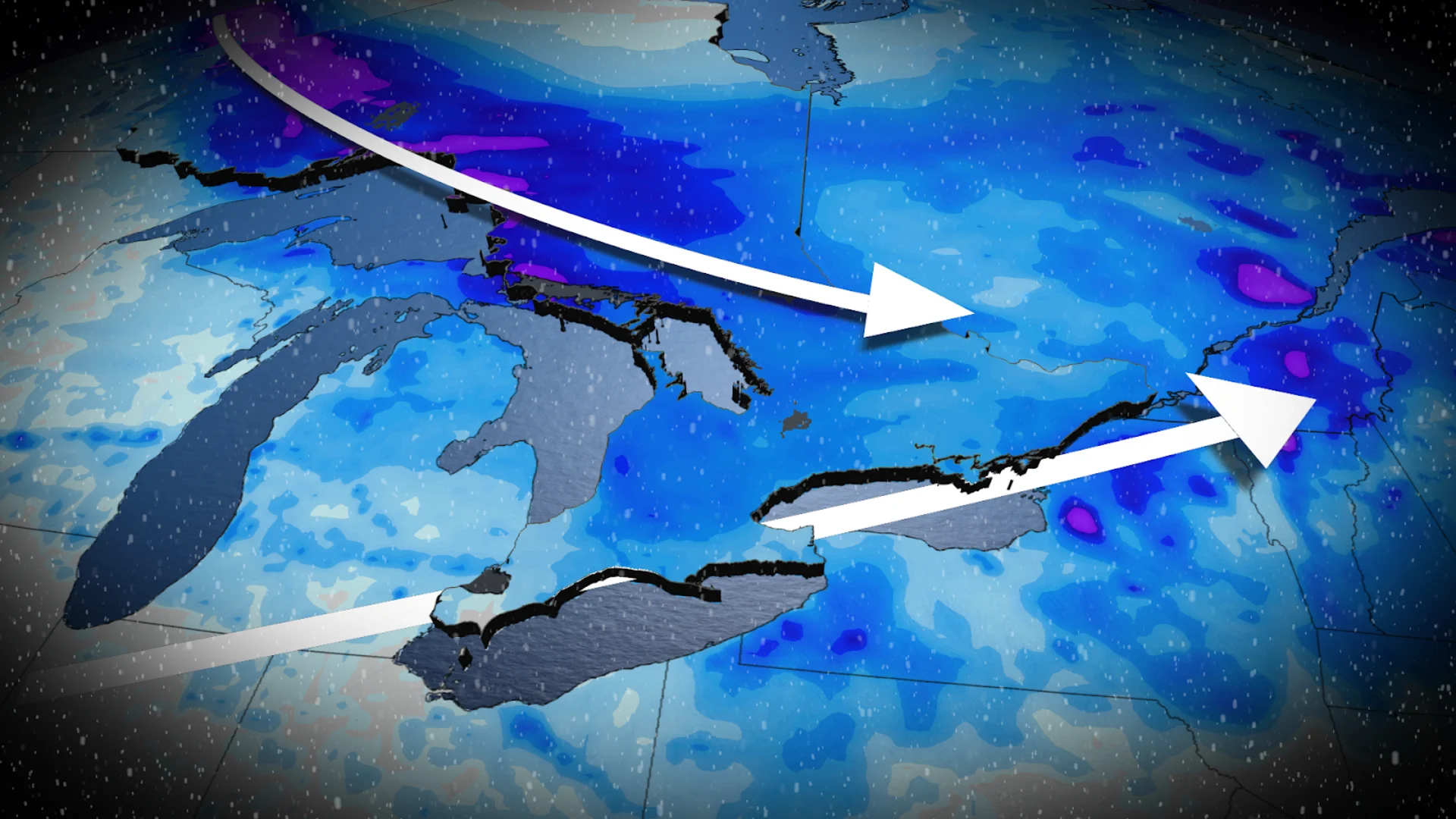
WATCH: The snow is melting, but that brings up a safety issue
Tuesday: Warmth continues across southern Ontario
A system tracking north opened the door for mild temperatures to start off this week in southern Ontario.
DON'T MISS: Risk of flooding as temperatures rise in southern Ontario
With this week's rainfall, it's worth mentioning that Pearson airport has only reported less than 5 mm of rain so far this winter, well below the normal of the 57.7 mm that typically falls.

DON'T MISS: Ready for a tease of spring? Thaw to spread across Canada
Tuesday could see similar temperatures as Monday for Toronto, with daytime highs set to hit around 6°C in Toronto. The normal for this time of year is closer to 1°C.
The warmth will be greeted by unsettled weather on Tuesday as the rain chances begin to move in, though it'll be a hit and miss kind of day. Regardless, the recent daunting snow piles and snowpack will begin to melt.
Wednesday and Thursday: Rain and snow chances increase, but temperatures will play a role
A weak low-pressure system will track in on Wednesday afternoon across southwestern Ontario, reaching the GTA by the overnight, and Ottawa Thursday morning.

As well, some areas will have the risk for some freezing rain and freezing drizzle Wednesday overnight.
RELATED: Great Lakes have the most ice in years amid prolonged cold spell
Across the southwest, Lake Erie shorelines and through the Niagara region, precipitation will be a rain-snow mix to start the event, but will be quickly followed by rainfall.
Meanwhile, those north of the GTA will likely see some wet, heavy snow in the 5 cm range. It won't take much of a change in temperature, however, for snow totals to increase or decrease.

A snowy commute can be expected across eastern Ontario and the Ottawa area Thursday morning, especially between Kingston and Cornwall.
Eastern Ontario will also be in the track of a second low that will make its way into the region from northeastern Ontario on Thursday afternoon and into the evening. This weak low will reinforce the unsettled weather and flurries in cottage country and the snowbelts.

Forecasters are also keeping a close eye on the weekend as a duo of clippers could sweep into the province on Friday and Saturday.
The warm spell currently over southern and eastern Ontario will also dissipate by the weekend, with temperatures dropping back to below normal.
Winter's not finished, yet: Cold weather returns as we kick off March
Colder weather is expected to return for the weekend, with a more wintry pattern likely to dominate for the first 10-15 days of March. Temperatures will be changeable, but overall colder than normal.
DON’T MISS: La Niña’s last hurrah? Pattern could disappear by this spring
Also, we will have a jet stream pattern that will bring a heightened risk for winter storms, but it is too early to have confidence in the exact storm track, as it could stay south and east of the region.
Be sure to check back on Friday, Feb. 28, for The Weather Network's official March Outlook.