End is near for extreme heat, persistent storm risk in southern Ontario
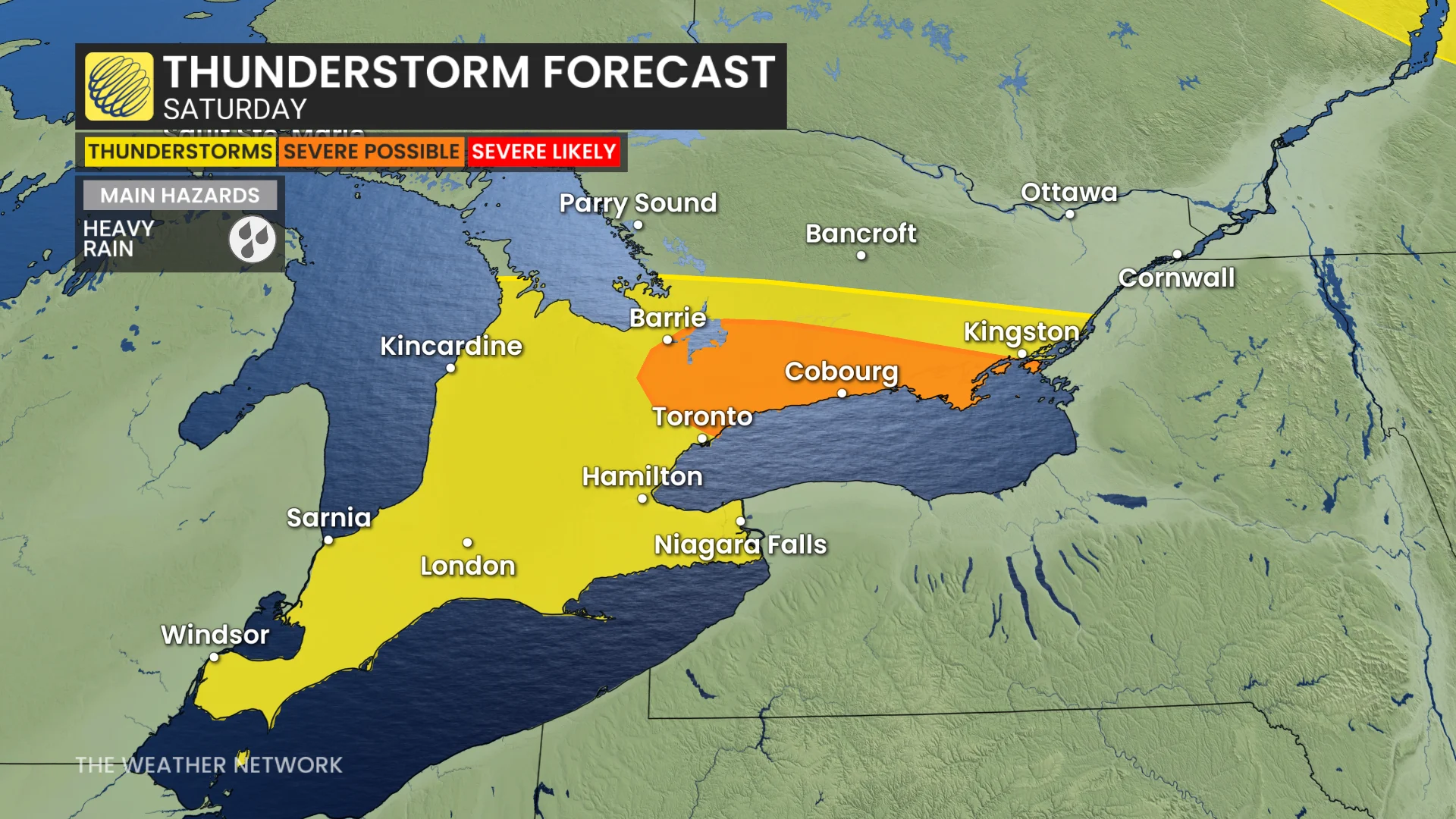
With one more day of potential thunderstorms on Saturday in southern Ontario, watch out for heavy rain and strong winds before a more stable pattern arrives on Sunday.
A persistently stormy pattern draped across southern Ontario continues on Saturday with another threat, but it will be the final risk for the next few days at least as a more stable pattern arrives Sunday.
Be ready to alter any outdoor plans in case threatening weather approaches your location. Remember, if you can hear thunder, you’re close enough to be struck by lightning.
DON’T MISS: Canada’s July outlook holds a major flip-flop across the country
Storm threat reappears on Saturday, heat and humidity to relax
A very weak cold front on Friday night knocked the edge of the humidity and temperatures down for central Ontario and the Greater Toronto Area (GTA) but southwestern areas will still feel like 40 on Saturday.

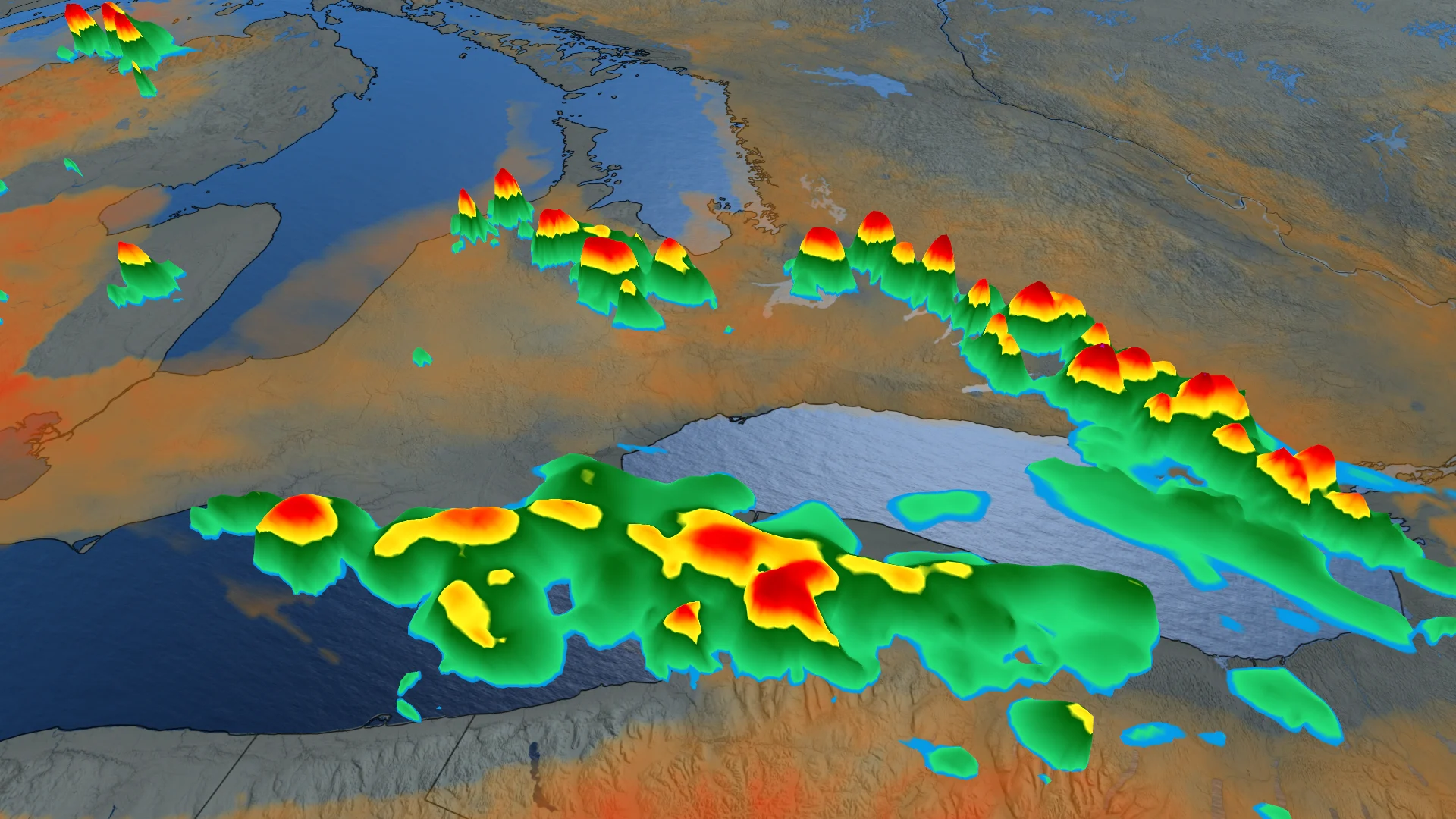
Another round of lake-breeze storms north of Lake Ontario will develop, with the potential for localized flooding due to training storms.
Southwestern Ontario is less confident as lake breezes may struggle to form near the stalled cold front, which could trigger storms over Michigan, potentially crossing the border.
The threat of storms will be mostly non-severe, but an area from Lake Simcoe and Highway 400, across to eastern Lake Ontario, could see severe storms develop.
Temperatures and humidex values will continue to drop into Sunday and Monday.