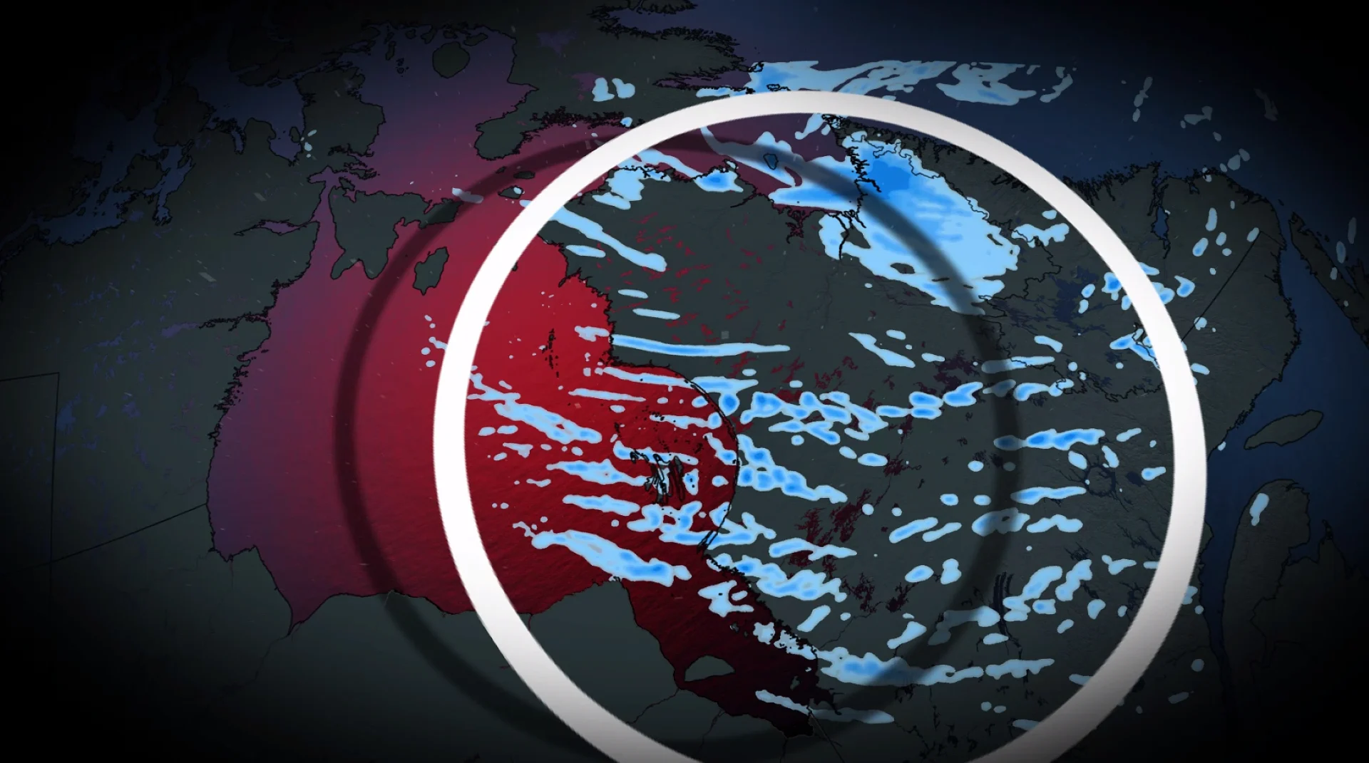
Eastern Canada had its first fall blizzard warning. Here's where it happened

A province in Eastern Canada experienced its first blizzard conditions of the fall season on Monday. Here’s where and how impactful it was
Summary:
An initial blizzard warning was issued by Environment and Climate Change Canada (ECCC) on Monday morning for the Salluit area in Nunavik, Que.
Visibility dropped to as low as 400 metres, with winds exceeding 50 km/h
Snow squalls are possible around Hudson Bay
Accumulations of 10 to 20 cm are expected in some areas by Tuesday.
SEE ALSO: A strange shift is happening in Antarctica, but it's not all bad
Visibility severely reduced in Salluit
Winter is approaching. Environment Canada issued its first blizzard warning of the season for the far north section of Quebec--including Salluit, Que.,--covering the period from Sunday night into Monday.
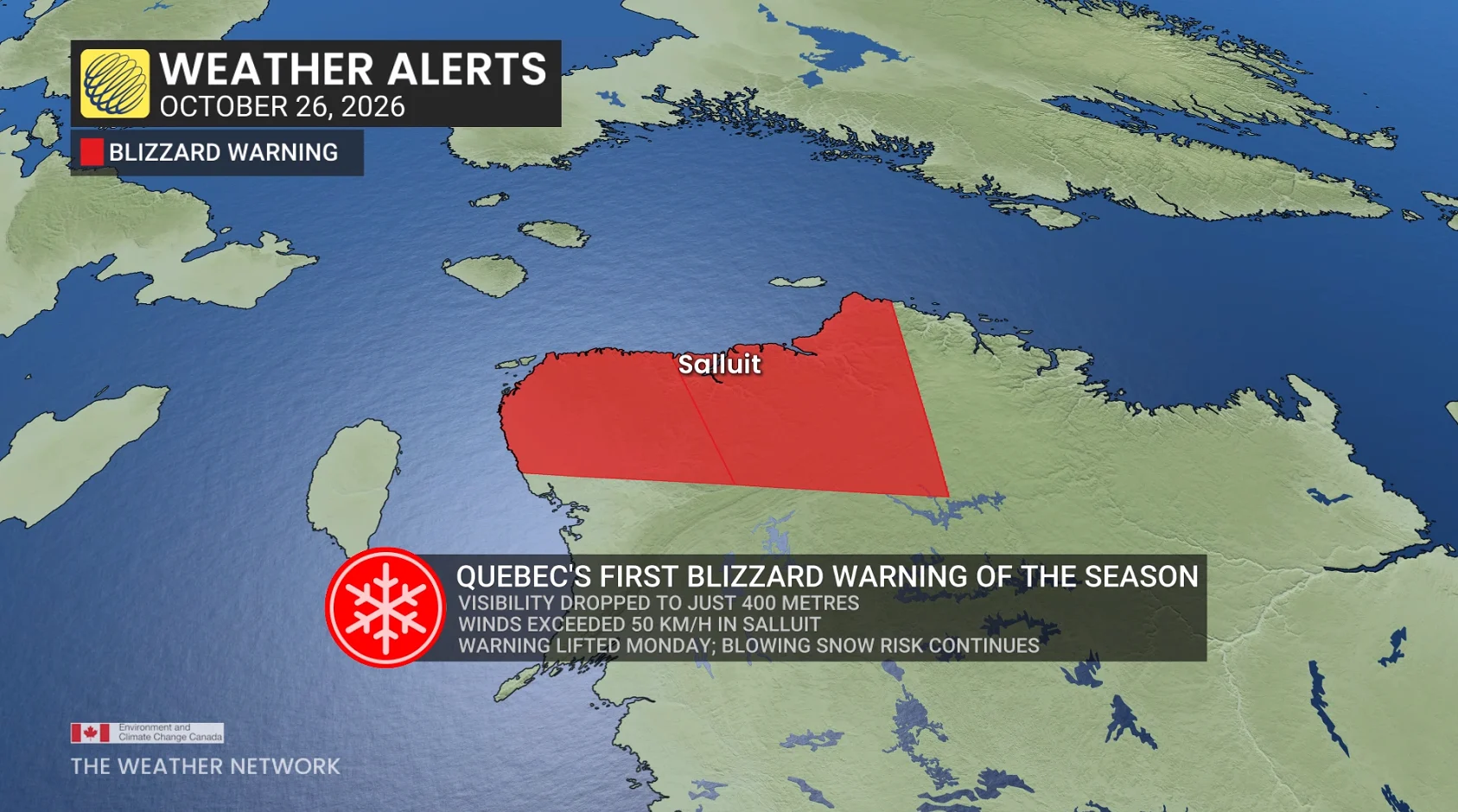
For conditions to be classified as a blizzard, visibility must be severely reduced, exactly what was observed on Monday morning. "At times, visibility was reduced to 400 metres," says Bertin Ossonon, a meteorologist at MétéoMedia.
With the temperature at -4°C and winds exceeding 50 km/h, blowing snow also became a factor, as evidenced by footage captured in Salluit.
Tornado occurred near Salluit this summer
An interesting factoid about Salluit is the recent confirmation of a tornado passing south of the area on July 21, verified by the Northern Tornadoes Project (NTP).
It is the northernmost tornado recorded in Canada since 1980, according to meteorologists at The Weather Network.
Risk of snowsqualls between now and Tuesday
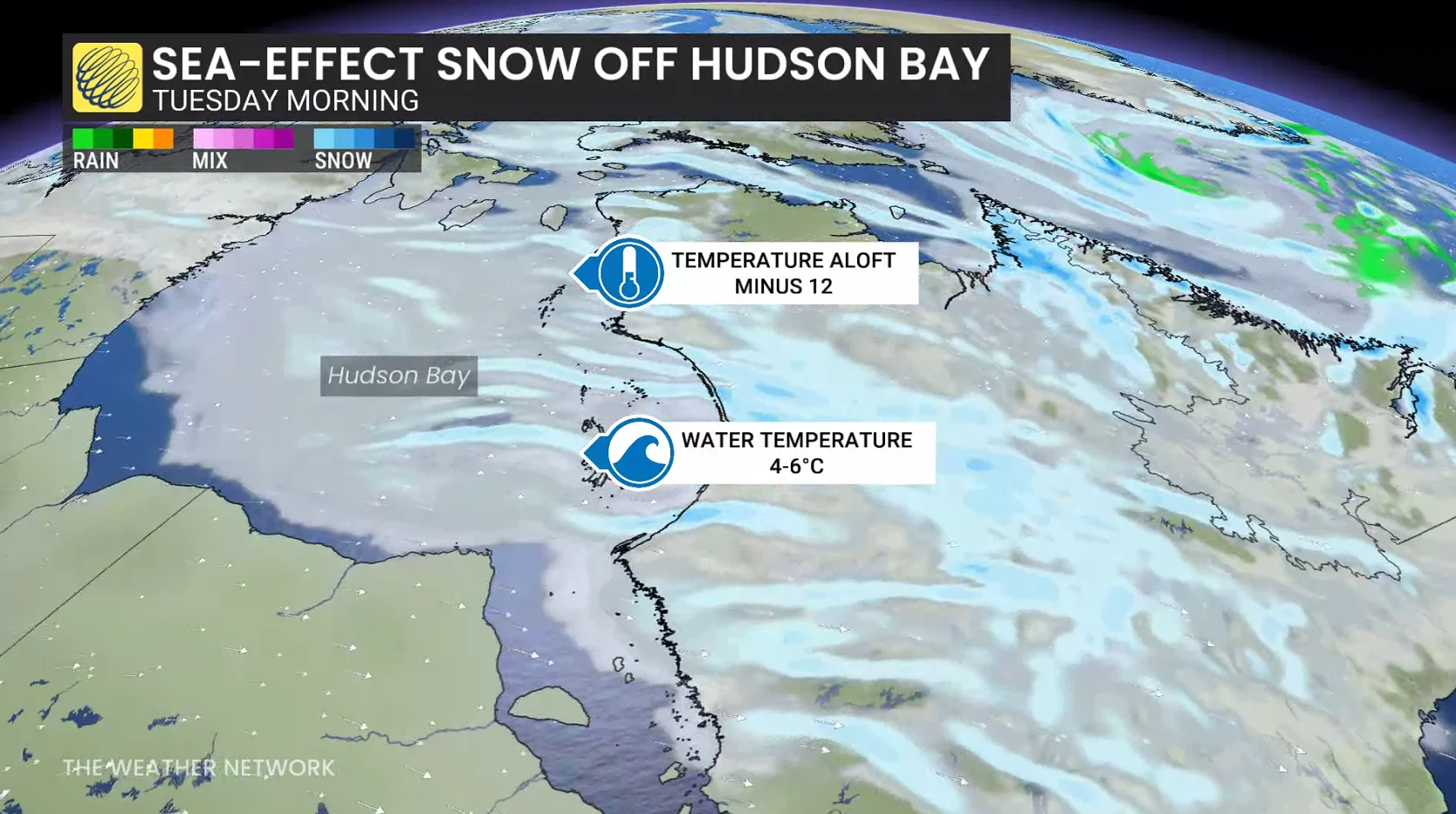
Although the blizzard warning has since been lifted, this winter weather event is not over, yet. By Tuesday, the activity will spread toward the Hudson Bay coastline, where snowsqualls are possible in the wake of a cold front.
"The necessary conditions are in place, specifically, [for] a mass of cold air passing over waters that are still relatively mild in the Hudson Bay area," explains Ossonon.
This temperature contrast promotes the formation of intense snow bands.
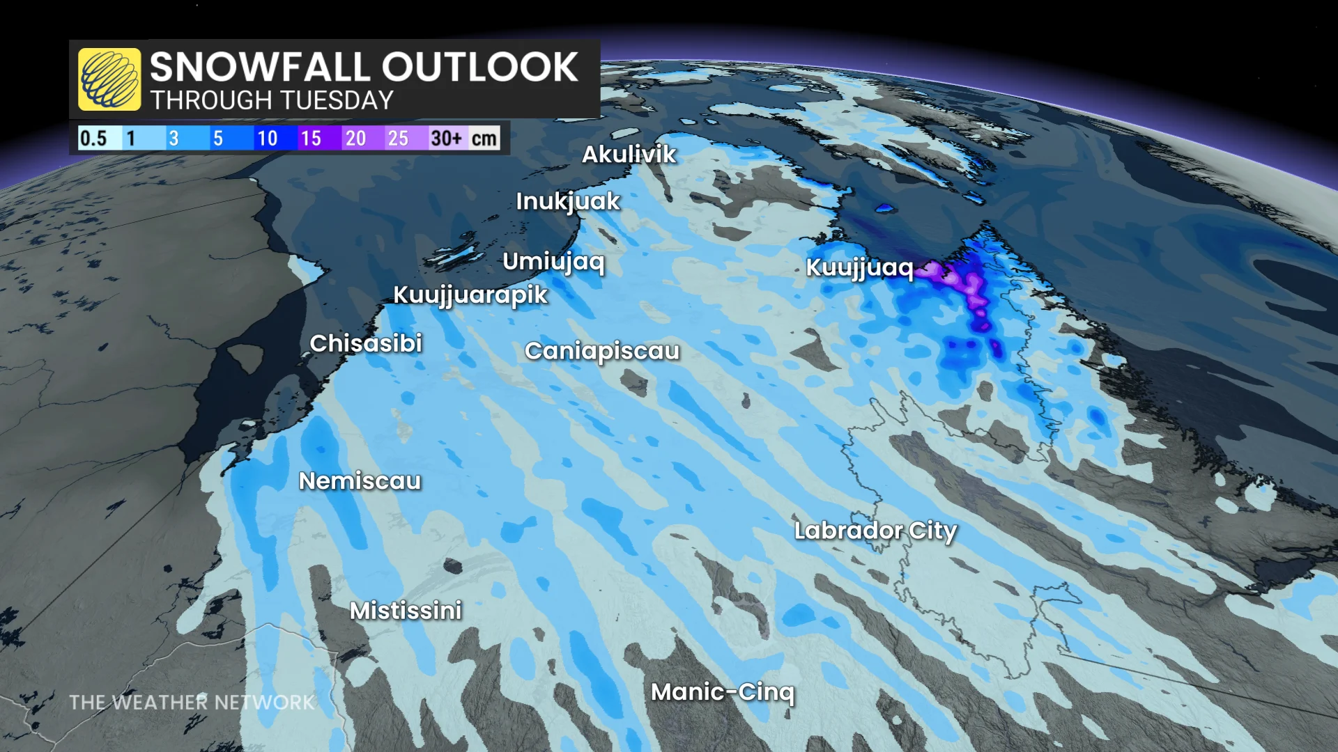
By Tuesday evening, 5 to 15 cm of snow is expected along Hudson Bay, 15 to 20 cm in Salluit, and more than 20 cm is forecast in some areas of eastern Nunavik.
With strong winds expected to persist in some areas until Tuesday, a risk of blowing snow and reduced visibility will remain.
With files from Bertin Ossonon, a meteorologist at MétéoMedia, and digital writers at The Weather Network.
Editor’s note: This article has been translated from French to English for The Weather Network, originally published by MétéoMedia. Read the original article, written by Dominic D. Matthews, here.