Early winter wallop buries parts of Ontario in 100+ cm of snow

Parts of southern Ontario saw a quick, and harsh, snap right into the heart of winter as powerful snow squalls buried some regions in more than 100 cm this weekend
Intense and powerful snow squalls targeted several areas of southern Ontario over the weekend, with some of the hardest-hit regions buried in 100+ cm of snow. It was part of the same dangerous lake-effect set-up that slammed western New York, and prompted travel bans for Buffalo and Erie County ahead of the busy Thanksgiving holiday week. More than 200 cm was reported in parts of Buffalo by Monday morning.
MUST SEE: Snow squalls large enough to bury cars in Buffalo, N.Y.
Squalls began blowing in from Lake Erie and Lake Ontario on Thursday, producing the first major snowstorm of the season for many communities a good month before the official start of winter. Even an epic round of thundersnow was captured amid an "electrically active" snow squall.
"With the relatively warmer than normal lake temperatures, and the favourable winds aligned in the atmosphere -- with little to no directional wind shear -- squalls were able to set up and unload heaps and heaps of snow to several areas this past weekend," says Kelly Sonnenburg, a meteorologist at The Weather Network.
The setup was conducive for "super-snow squalls" to develop, measuring an impressive 500+ km in length at one time. Winds initially targeted the squalls to areas east of the Great Lakes, but as wind directions moved to be more out of the northwest through the weekend, the squalls followed suit.
Dangerous driving conditions were expected on many major roads over the weekend, including the QEW between Hamilton and Niagara, and the 401 between Cobourg and Kingston. Squalls completely snarled traffic in the Niagara region early on Saturday.
Widespread winter warnings were in effect and Environment and Climate Change Canada (ECCC) had urged drivers to consider postponing non-essential travel until conditions improved.
RELATED: Buried: Why the Great Lakes produce some of the world’s heaviest snow

Parts of the Bruce Peninsula took the cake when it came to the most impressive snowfall totals of the event from Thursday through Sunday, with totals topping over 100 cm.
Wiarton reported a whopping 124.6 cm of snow! Sunday broke an all-time daily snowfall record with 53.4 cm recorded for the day.
PHOTOS: Snow squalls large enough to bury cars hit Buffalo, N.Y.
On Monday, ECCC released a summary of snowfall totals from other centres across Ontario -- recorded from Thursday evening into Monday morning. Coldwater received 43 cm, Orillia saw 40 cm, Brockville documented 35 cm, Port Colborne got 34.4 cm and Thornbury was buried under 33.5 cm.
There were also higher totals documented by ECCC's volunteer, CoCoRaHS Network. Markdale recorded 63 cm, Flesherton saw 57.9 cm, Milverton received 42.2 cm and Oro Park was buried under 41.5 cm.

By way of comparison, Toronto only picked up 3 cm of snow, which perfectly epitomizes how localized lake-effect snow can really be.
While this event has wrapped up, winter driving skills will still be put to the test if you are traveling in some of the harder hit areas through Monday, as strong winds and blowing snow remain an issue.
Over the weekend, the snowfall and the sheer astonishment was in full swing on social media, where many exclaimed that they had never seen anything like this before. Here's a closer look at how this potent wintry blast played out:
WATCH: Thundersnow caught on camera as dangerous squalls target Buffalo
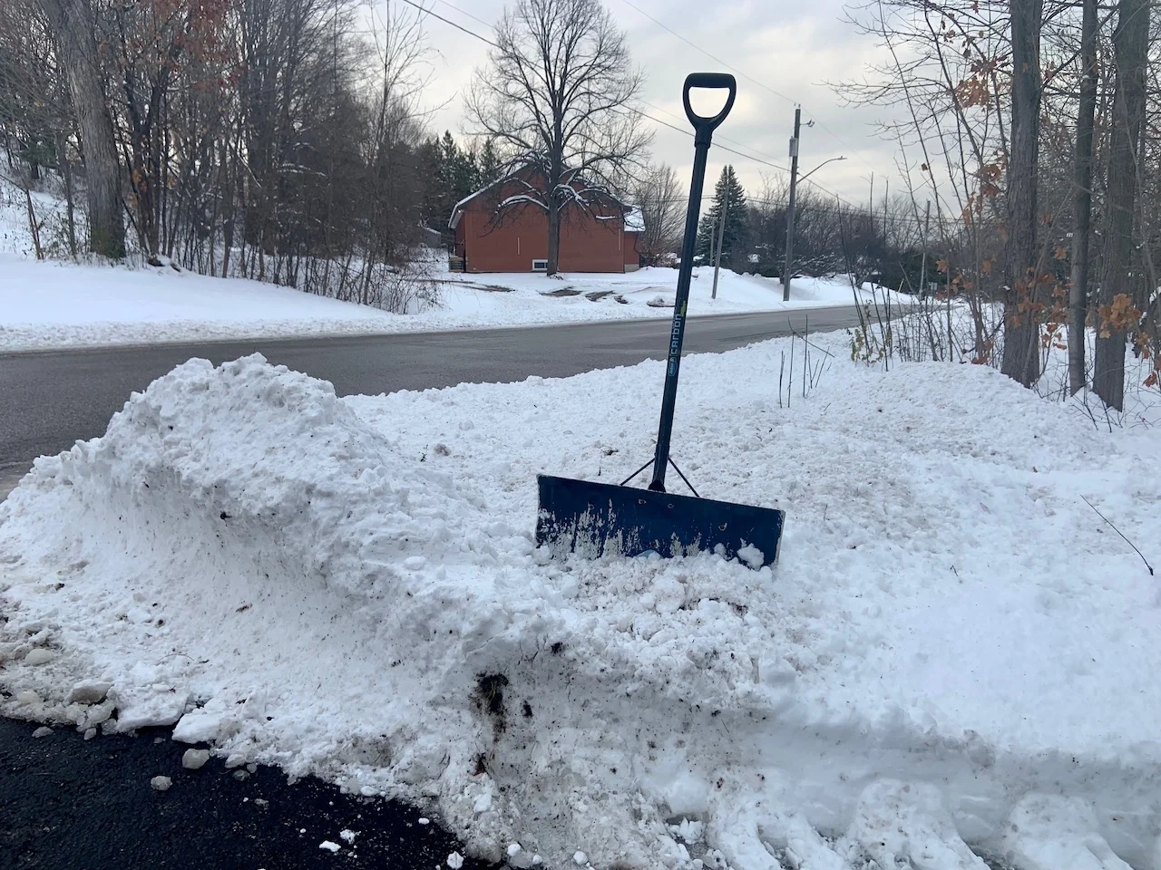
Thumbnail image courtesy: April Walker - Owen Sound, Ont.