Double trouble: Two typhoons targeting Japan could impact Canada's weather
A powerful typhoon and another developing storm are expected to merge over Japan in the coming days. The eventual path of the storm could eventually track over the Pacific, reinforcing Canada’s weather patterns
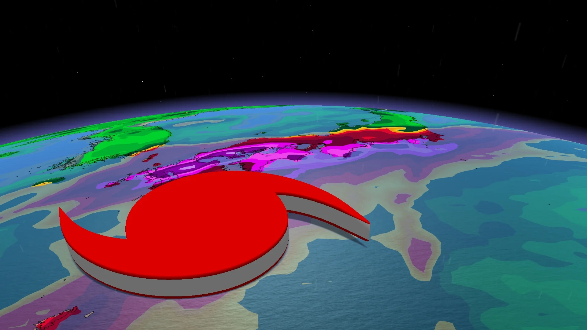
Typhoon Mekkhala is attracting attention east of the Philippines and could seriously complicate the weather in Japan in the coming days.
The storm’s track appears to move into Japan through the weekend, tracking just off the coast. Heavy rainfall will target the south coastlines, with more than 100 mm forecast, with tropical-storm force winds.
Meanwhile, what will eventually become Typhoon Higos is organizing and strengthening, with a named storm expected by late week. The storm track is highly uncertain, but will likely track towards Japan.

The typhoon's paths could cross over Japan and eventually track over the Pacific, reinforcing Canada’s weather patterns.
This weekend
This weekend, the two tropical systems will be present in the same area, and a Fujiwhara-type interaction becomes possible. Essentially, when they are close enough to each other, two vortices can influence each other and alter their trajectories.
This kind of interaction doesn't necessarily mean they will merge, but it can be enough to shift Mekkhala's predicted path eastward, westward, or slow its development. This is one of the reasons why the forecast remains so uncertain.

If Higos gets close enough, it could change the course of events.
Rough seas expected
In addition to rain, the sea will also become rougher. Large waves and heavy swells could affect a fairly wide area, from Okinawa to southern Japan, even if the centre of the typhoon remains at sea.
It is a system to monitor not only for its winds, but especially for all of its indirect effects: Rain, swells, saturated ground, and increased risks in vulnerable areas.

Effects could impact Canada
Even though the typhoons are more than 10,000 km away, the two systems could have repercussions in Canada. A typhoon's path, after it weakens and moves across the Pacific Ocean, can alter atmospheric circulation on a larger scale, creating a domino effect across North America.
Downstream effects to North America could mean a strengthening, more persistent ridge in Western Canada, and unsettled weather in the East by the second week of July.

However, the trough axis may be too far east to bring unsettled weather to Ontario, but it should help with the return to--and then remaining in--a cooler pattern.
This article was translated to English from MétéoMédia, The Weather Network’s Quebec-based sister station.
Edited by Rachel Modestino, a meteorologist at The Weather Network.
With files from Benoit Chartier, a meteorologist at MétéoMédia.