Danny anticipated to weaken after landfalling onto South Carolina coast

After a quick landfall onto the South Carolina coast following its formation Monday, Danny is expected to weaken to a tropical depression Monday night and dissipate by late Tuesday.
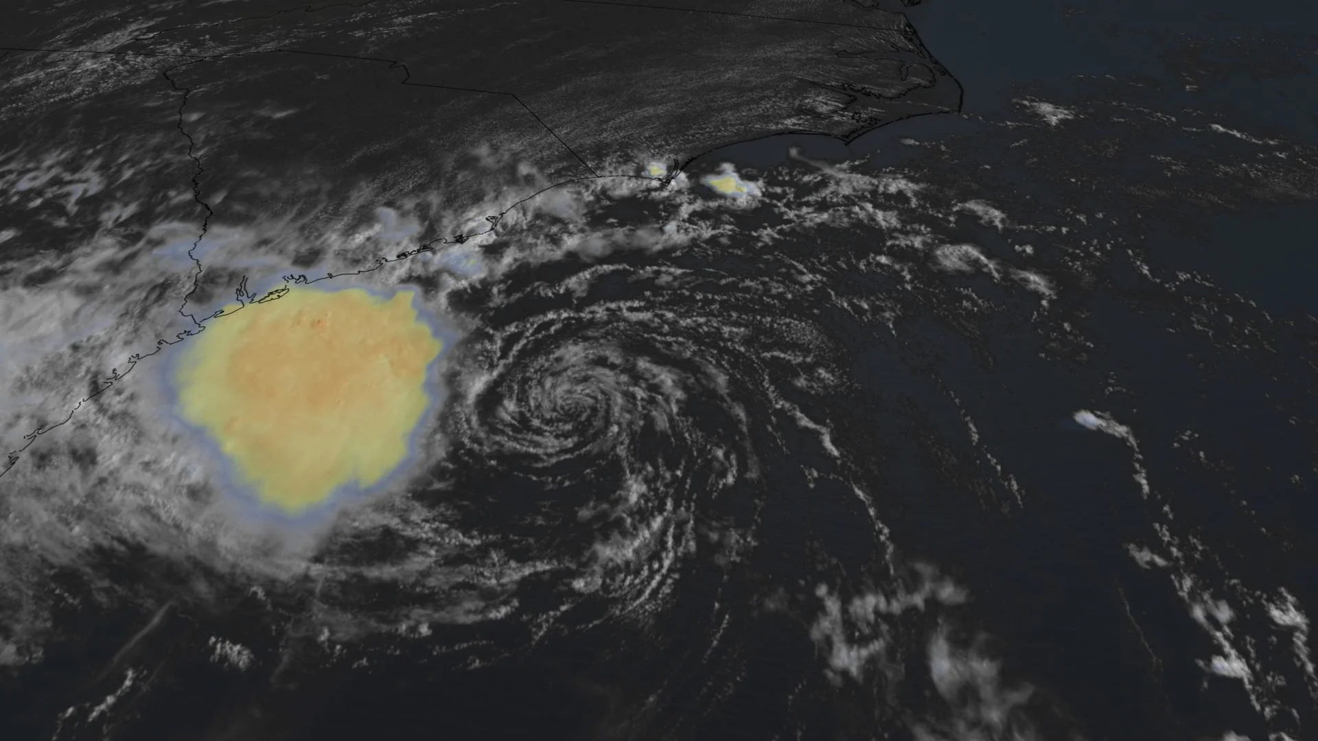
Tropical Storm Danny has made landfall onto the South Carolina coast after arising Monday as the Atlantic's fourth named storm of the season.
According to the National Hurricane Center (NHC)'s latest update, Danny is 20 kilometres east-southeast of Beaufort, S.C. It is currently churning along west-northwest at 26 km/h. This general motion is expected to continue during the next day or so.
The maximum sustained winds are estimated to be 65 km/h, with higher gusts. Rapid weakening is forecast, and Danny is expected to weaken to a tropical depression Monday night and dissipate by late Tuesday.

On the forecast track, Danny will move inland across southern South Carolina and east-central Georgia Monday night and early Tuesday morning. A tropical Storm Warning is in effect from Edisto Beach to South Santee River, S.C.
"Danny could produce 1 to 3 inches (25-75 mm) of rainfall with locally higher amounts along the immediate coasts of Georgia and southern South Carolina. This region has been dry, limiting potential widespread flooding impacts, however, local flooding impacts, especially in urban areas along the southern South Carolina and Georgia coasts, cannot be ruled out at this time," the NHC said in the update.
Farther inland, 25-50 mm of rainfall is possible across upstate South Carolina, the Piedmont of Georgia, and into northeastern Alabama. An isolated tornado will be possible Monday night along the South Carolina coast.
Stay tuned for the latest forecast updates on Danny.