Multi-day severe weather event shaping up on the Prairies
Several rounds of severe weather will bubble on the Prairies this weekend, culminating in a tornado risk for some on Sunday
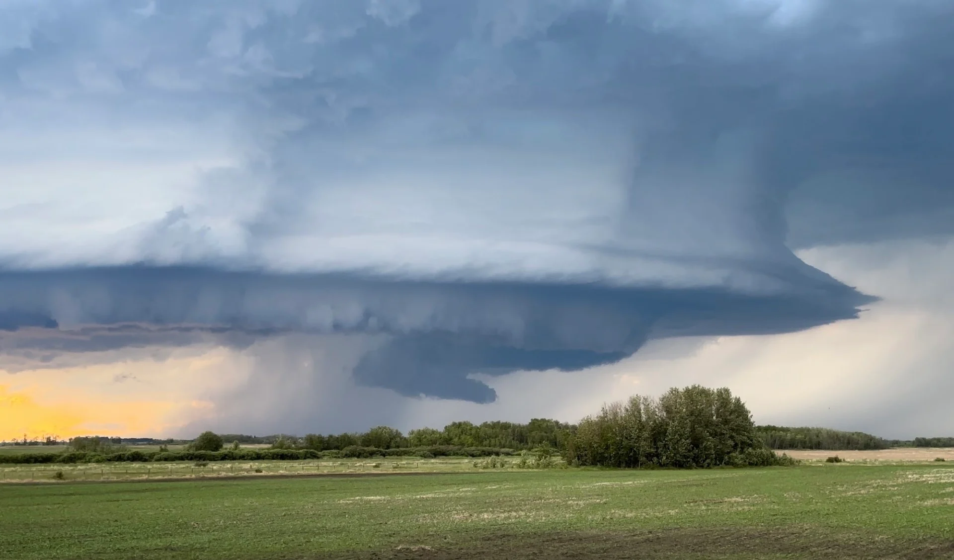
An active pattern draped over the Prairies will bring multiple rounds of severe weather to the region heading into this weekend.
We’ll see a risk for severe weather continue through the weekend. Another risk will bubble over Saskatchewan during the day Saturday, followed by a chance for significant severe weather and a few tornadoes over portions of Manitoba by Sunday.
Keep an eye on the radar for storms in your area, and stay alert for watches and warnings that may be issued this weekend.
DON’T MISS: How severe weather alerts are issued, and potentially save lives
Renewed storms bubble on Saturday
A pool of instability lurking over southeastern Saskatchewan will set the stage for several chances for strong to severe thunderstorms through the day Saturday.

The first round of storms is possible through the late morning hours, with the second better opportunity for severe thunderstorms developing into Saturday evening. These late-day storms will feature the best opportunity for large hail across southeastern Saskatchewan.
Tornado risk develops on Sunday
All eyes are looking toward a favourable setup for significant severe weather on the eastern Prairies to end the weekend.

A deep reserve of instability seeping north of the border will provide the fuel needed for severe thunderstorms to develop over portions of southwestern Manitoba, including the communities of Brandon and Dauphin.
These storms could organize into supercells with the potential for one or two tornadoes, large hail, and damaging wind gusts. Pay very close attention to the forecast through the weekend and prepare for the likelihood of dangerous storms developing in the region on Sunday.
Stay with The Weather Network for the latest on your forecast across the Prairies.