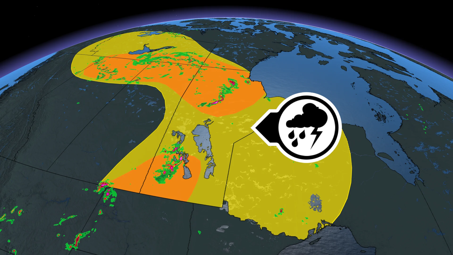
Parts of Alberta face a nocturnal storm threat as severe weather lingers

The potential for severe storms will move east into Saskatchewan and Manitoba on Wednesday.
After a stormy Tuesday night in Alberta, the risk for severe weather will expand into Saskatchewan and Manitoba on Wednesday, although the severity of the threat will be reduced.
Keep up with the latest watches and warnings in your area. Take immediate action if a severe thunderstorm or tornado warning is issued for your location.
DON'T MISS: Benefits of forest bathing and why you should try it
Potential for severe weather shifts into Saskatchewan, Manitoba on Wednesday
On Wednesday, a renewed threat for severe storms will ignite on the Prairies, also shifting into parts of Saskatchewan and Manitoba.
However, the threat will be on a diminished scale despite becoming more widespread.
The risk region will expand to include the northern reaches of Saskatchewan and Manitoba as the system treks to the northeast.
Through the afternoon and evening hours, storms may be capable of producing large hail, strong winds and heavy downpours.
The low’s associated cold front moves across Manitoba.
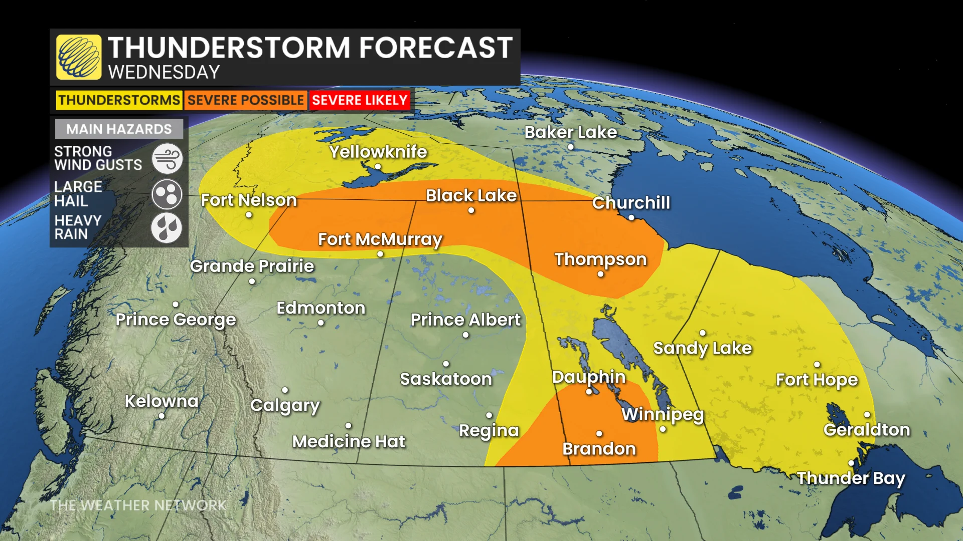
As well, a new region to watch for severe weather will be in southern Saskatchewan and Manitoba.
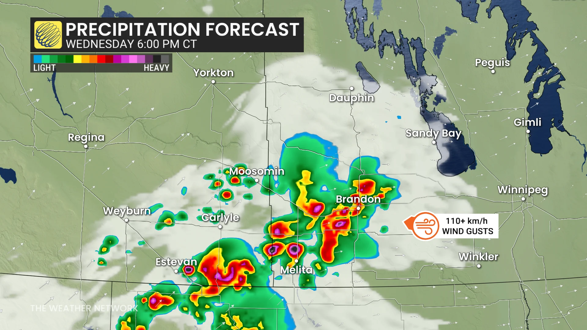
Communities such as Estevan, Sask., and Brandon and Dauphin, Man., could see severe storms.
Thunderstorm energy will be plentiful, alongside moisture and upper-level support, so storms could initiate by the late afternoon.
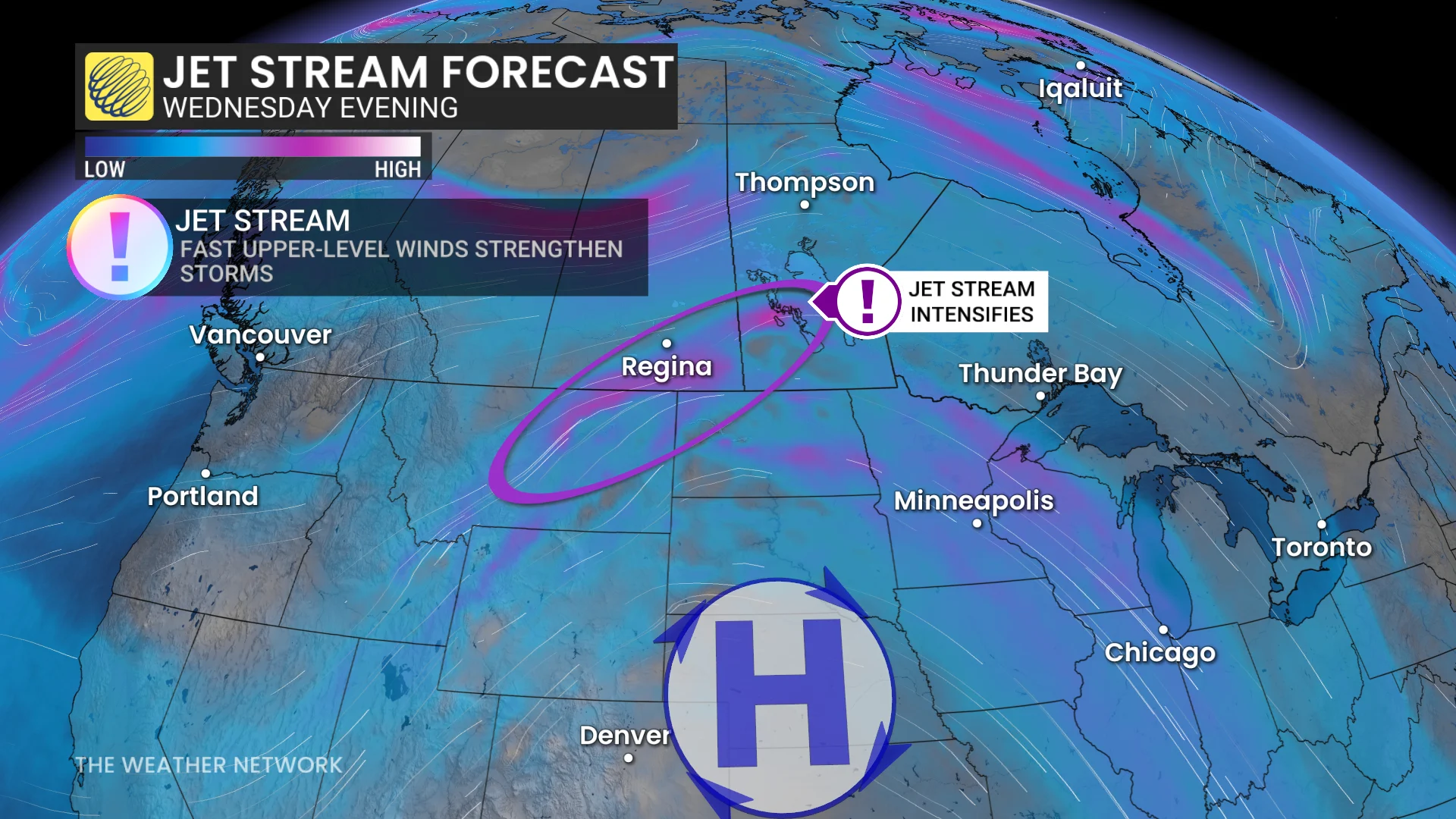
The hazards with these storms will be strong to damaging winds as the cells track quickly east and mature. Wind gusts of 110+ km/h or higher will be possible, along with isolated, large hail.
Stay with The Weather Network for the latest across Alberta.