Quebec braces for sizable snow as tropics-infused storm arrives

A developing storm will take advantage of tropical moisture to bring southern Quebec a disruptive snowfall through Saturday.
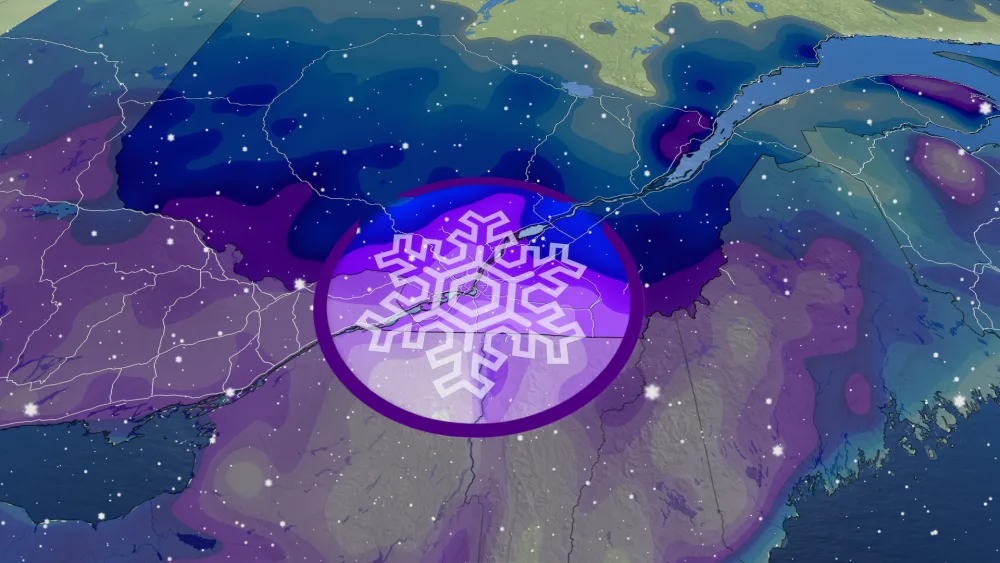
A developing storm off the coast of New England threatens to produce wicked snows across southern Quebec on Friday and Saturday, potentially notching Montreal its biggest snowfall of the season.
Quebec’s impending storm is the combination of a Colorado low that’s produced blizzards and tornadoes this week, along with a second low-pressure system developing off the U.S. East Coast.
DON'T MISS: Blizzard, twisters likely as 3,000 km-long storm eyes Canada, U.S.
This system will tap into a stream of tropical moisture from the south to beef up snowfall totals across southern Quebec, beginning Friday morning and likely lasting into the day Saturday for many areas.

By the end of the storm, forecasters expect widespread snow totals of 15-25 cm across the southern half of Quebec, with totals approaching 30 cm possible in portions of the Eastern Townships.
Marginal temperatures will make this a heavy, wet snowfall, the kind that’s difficult to shovel and makes driving especially treacherous on snow-covered roadways. This could also serve to limit accumulations in some areas.
Regardless, the snow is expected to fall quickly, making for hazardous travel conditions.
"There may be a significant impact on rush hour traffic in urban areas," says Environment and Climate Change Canada (ECCC) in its snowfall warning for the region.
"Visibility may be suddenly reduced at times in heavy snows," adds ECCC.
This will likely be the biggest snowfall of the season so far for communities like Montreal. Prior to this storm, 11.4 cm of snow had fallen in the city back on November 16.

Check back for the latest on the forecast across Quebec.