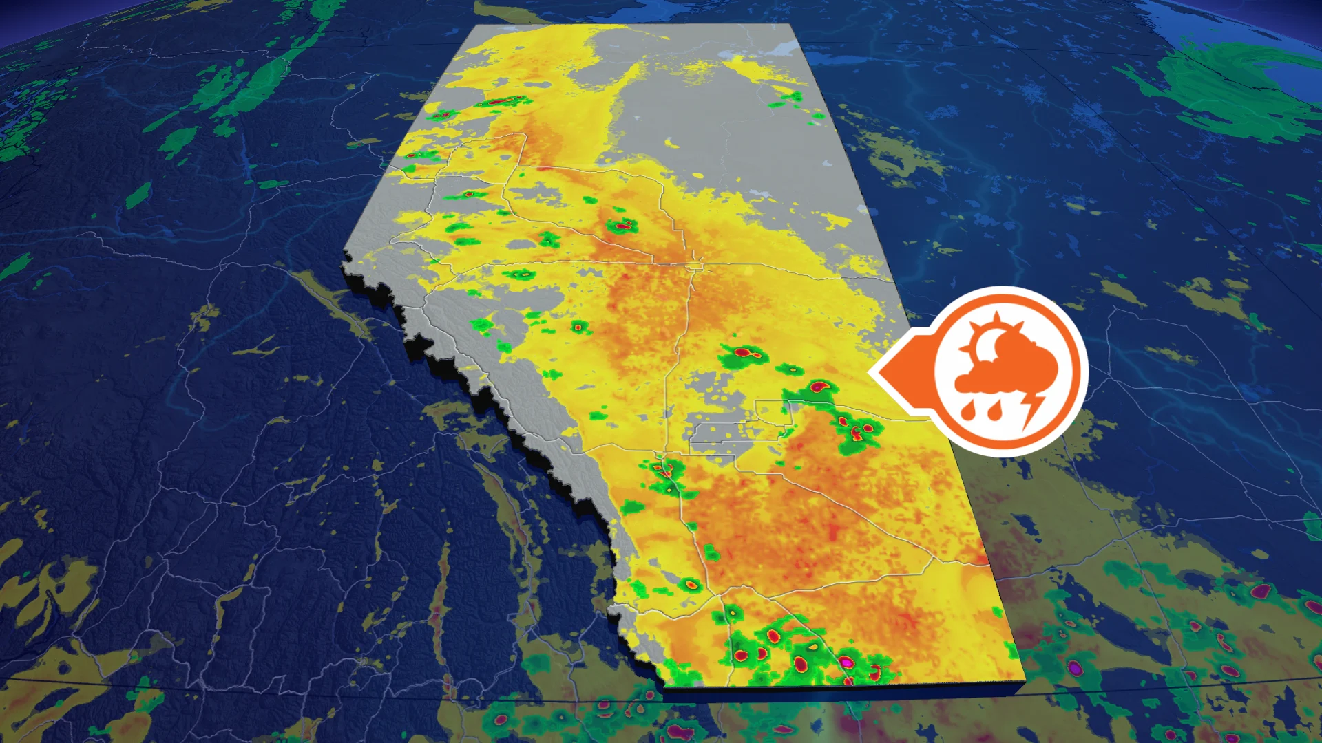
Calgary, southern Alberta face a severe storm, large hail risk Monday

Another day, another chance of severe thunderstorms in southern Alberta, including Calgary, on Monday afternoon and evening
The week in southern Alberta could get off to a stormy start as conditions will be prime for severe weather development in parts the region.
Thunderstorms could initiate off the foothills Monday afternoon and track southeast through the evening, and may impact the city of Calgary. Severe thunderstorm watches are in effect for southern Alberta.
SEE ALSO: Hawaii braces for more of Tropical Storm Lala's winds and flooding rains
Among those may see some stormy weather are folks in Calgary, south to Lethbridge, Medicine Hat and the U.S. international border.
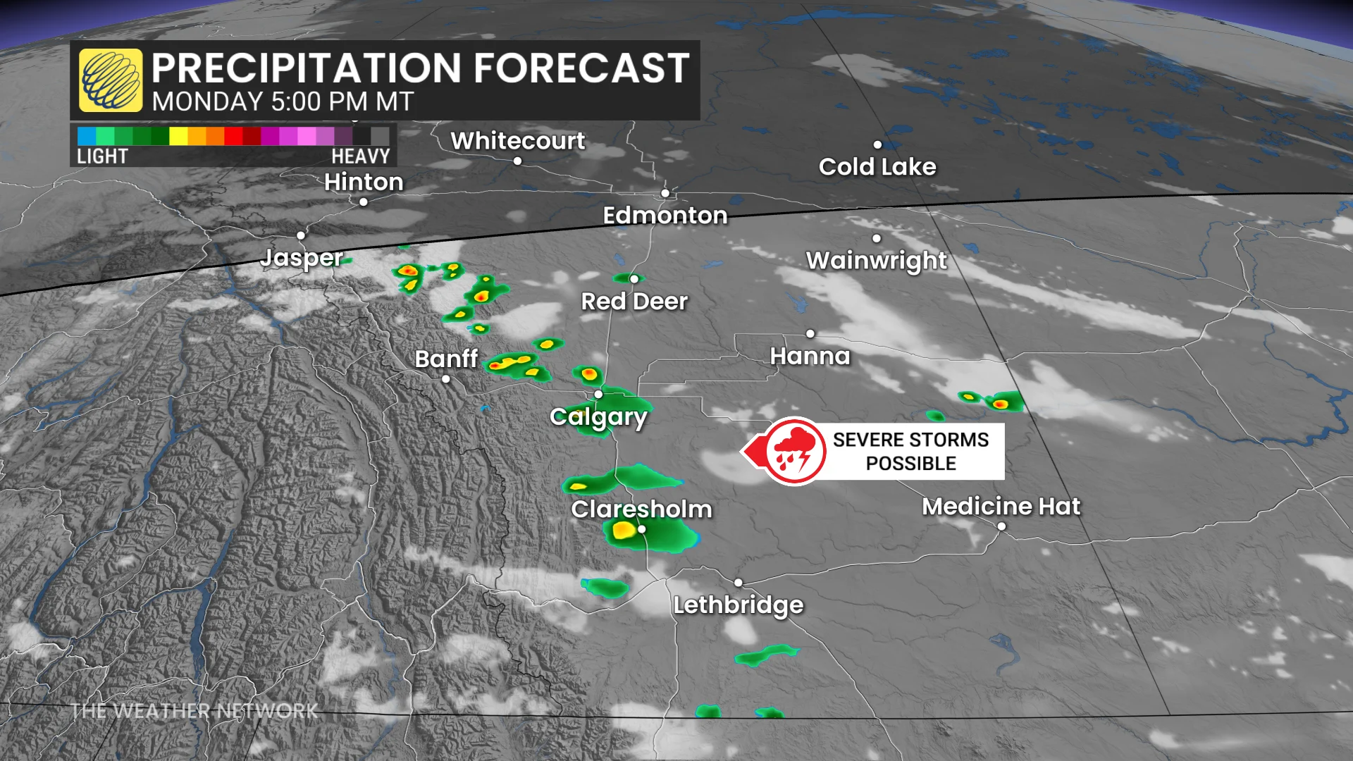
From Monday afternoon onwards, atmospheric conditions are favourable for severe thunderstorm development.
Large hail is possible with any severe storms that do develop, as well as strong wind gusts, posing a risk to property, crops, fences and trees.
Thunderstorms should develop along the foothills and track southeast into the evening.
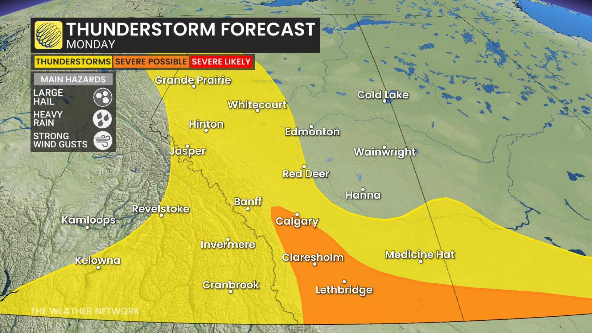
Some of the storms could also produce heavy rainfall, raising the risk for localized flooding.
Beyond Monday, heat will ramp up midweek as a ridge of high pressure over the Western U.S. noses northwards. Thirty-degree heat is possible in the south (Medicine Hat area) by Wednesday.
Stay with The Weather Network for the latest information and updates on your weather across Alberta.